
Finding Zoning Information for a Property
Finding zoning information for a property is, historically, a tedious process that would compel individuals and organizations to check local government websites, visit their local government office, request reports from local government authorities, as well as hire a professional land-use attorney or a licensed land surveyor to acquire and interpret the report documents. This would involve an upfront cost as well as significant time. This process can also differ depending on the county and state where the property is situated.
Finding Zoning Information for a property with Zoneomics
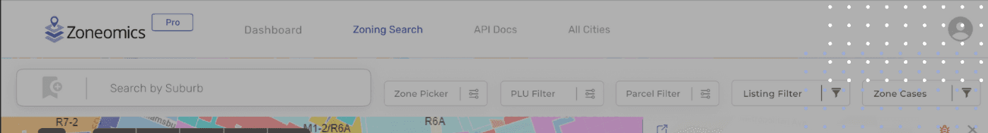
Once you are signed up to Zoneomics, you can utilize the platform for one of its key functions; finding the zoning information of a property that you know about. There are two ways to begin a search for Zoning Data on the platform. The first is to access the zoning map page by clicking on Zoning Data in the navigation tab and entering an address into the search bar. Alternatively, a Zoneomics user can begin their search directly from the search bar on their Dashboard page.
To begin a search simply type in a known address. For example, users can visit a property on a listing site and copy the address to confirm the zoning information for this property; its zoning, permitted land uses, and development standard. Once the address has been typed into the search bar on Zoneomics, a user can click on the address suggestion in the drop-down or press enter. Once selected, the zoning map page will load a zoomed-in view of the desired property. The color coded map will show the zoning classification. The information card for the property will show key information about it, including but not limited to:
- The Zoning Classification
- The Zone Name
- Type of Zoning
- A link to the full code
By clicking on the PLU tab within the card a user can view the As Of Right Uses, Conditional Uses, Special Uses, and Prohibited Uses for the property. By clicking the Controls tab a user can view all the applicable Development Standards for the property. A user can expand this card to view the zoning data, permitted land uses and building controls on a separate page. A user can also conveniently bookmark this search result so it can be saved directly to your Zoneomics profile dashboard under the favorites section.
A Zoneomics user can quickly get this information in PDF by clicking on “Get a Report”. This will generate a Zoning Brief in a new tab. The brief contains all the details provided on the properties zoning information card as well as a screenshot of the zoning map as seen on the Zoneomics platform.
For advanced users, there is also an option to download all the provided information as a CSV file.
Map Tools
The map contains useful tools that provide the following:
- Map Layers: To toggle between the map layers to overlay the satellite view.
- Opacity: To change the opacity of the zoning classification overlaid on the map.
- Screenshot: To screenshot the zoning map as an image.
- Print: To print the zoning map image.
In the next article, we’ll give you detailed instructions on how to use the zoning filters on the Zoneomics platform.
To get startednowon Zoneomics, create an account by going to the pricing page and find a subscription plan that meets your zoning workflows or contact the sales team to create a tailored Enterprise Zoneomics subscription plan. If you’re already a subscriber simply , enter your credentials in the username and password fields, and click log in.