Hinesville, Georgia
The following data is available for this address
Compliance Review
 Use Compliance Review
- Dimensional Standards Review
Zoning Information
- Zone Code
- Zone Name
- Zone type
- Zone sub type
- Zone guide
- Link
- City name
Building Controls
- Assorted
- Far control
- Lot control
- Multi control
- Density control
- Coverage control
- Pervious control
- Lot width control
- Rear setback control
- Side setback control
- Front setback control
- Building height control
Parking Requirements
- Multiple
Planning and Zoning for Hinesville, GA
Largest Zones in Hinesville, GA
The Zoning Map for the City of Hinesville in GA divides the city's real estate into zones differentiated according to land use and building regulations.
Get Planning and Zoning records in Hinesville GA and find the property data, zoning maps, and zoning reports you need. Zoneomics provides the most comprehensive real estate zoning information available through clusters of municipal zoning maps, zoning code and ordinance records, and planning and zoning data.
Explore the zoning map of Hinesville, GA along with its permitted land uses and development standards
Enter an address in the search bar and get Zoning Reports with:
 Zoning Map Extract
 List of Permitted Land Uses
 Zoning Classification Guide
 Zoning Classification
 Development Controls
 Delivered within 24 hours
 Video Zoning Report Review with Zoning Analyst
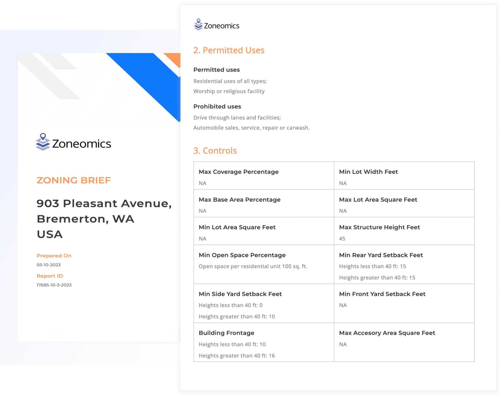
Explore all Property Prospects in Hinesville
Do you have more complex planning and zoning needs?
Visit our subscription pages to find a zoning data and zoning reports package that suits your needs and let our team create a custom account for you.

What is the Land Use Allocation in Hinesville, Georgia?
The following table illustrates how land is allocated for various uses within Hinesville, Georgia as defined by city ordinances.
Permitted Use Type | Permitted Use Sub Type | Percentage | Area (Acres) |
|---|---|---|---|
Parking | 9.75% | 1234.37 | |
| Parking garage or lot | 9.75% | 1234.37 | |
Industrial | 39.29% | 4977.01 | |
| Equipment rental and repair services (excluding automobiles) | 8.96% | 1134.87 | |
| General industrial | 30.20% | 3824.50 | |
| Manufacturing | 9.10% | 1152.51 | |
| Storage and warehouses | 8.96% | 1134.87 | |
Residential | 95.77% | 12130.58 | |
| Accessory dwelling unit | 54.21% | 6866.63 | |
| Multi family dwelling mixed use | 7.52% | 952.88 | |
| Multi family dwelling | 39.87% | 5050.10 | |
| Dwellings (unspecified) | 30.20% | 3824.50 | |
| Single family dwelling | 86.70% | 10981.49 | |
| Communal housing | 58.59% | 7420.72 | |
| Mobile and floating homes | 36.04% | 4564.31 | |
| Two family dwelling | 29.87% | 3783.23 | |
Mechanical | 11.44% | 1448.86 | |
| Communication towers | 11.44% | 1448.86 | |
Other | 99.95% | 12659.18 | |
| Temporary uses | 2.22% | 281.49 | |
| Accessory | 67.80% | 8587.57 | |
| Multiple | 39.55% | 5009.63 | |
Retail | 11.70% | 1481.48 | |
| Professional services | 9.75% | 1234.37 | |
| Eating and drinking establishments | 7.41% | 938.02 | |
| Personal services | 9.75% | 1234.37 | |
| General retail | 11.70% | 1481.48 | |
Community | 69.75% | 8834.68 | |
| Medical | 17.64% | 2234.75 | |
| Schools and universities | 63.81% | 8081.64 | |
| Transportation facilities and infrastructure | 1.95% | 247.11 | |
| Public, quasi-public, and government | 67.80% | 8587.57 | |
Lodging | 55.91% | 7081.26 | |
| Hotel/motel | 7.15% | 905.40 | |
| Bed & breakfast | 48.76% | 6175.86 | |
Commercial | 41.89% | 5305.98 | |
| Non-retail sales | 1.95% | 247.11 | |
| General commercial | 35.12% | 4448.41 | |
| Automobile related uses | 9.36% | 1185.13 | |
| Research and laboratory facilities | 1.95% | 247.11 | |
| Professional office | 9.75% | 1234.37 | |
| Entertainment | 9.75% | 1234.37 |