
Auburndale Village City Zoning Code
ARTICLE IV
SCHEDULE OF REGULATIONS
Sec. 16-108.- Schedule of area, yard, building (bulk), and unit requirements.
Table 16-108. Schedule of Area, Yard, Building (bulk), and Unit Requirements
1 Does not apply to parcels laid out or platted prior to the adoption date of the ordinance from which this chapter is derived.
2 Maximum lot coverage for buildings on corner lots shall be 60 percent.
3 Lots created in areas not serviced by municipal sewer shall be a minimum of 30,000 sq. ft.
4 5,000 square feet minimum must be provided per dwelling unit.
(Ord. of 3-11-1996, § 6.01)
Sec. 16-109. - Additional setback requirements.
(a)
Setback requirements shall apply to building at the end of an existing road as though the road were extended one-quarter mile (see Figure 1). If said existing road is laid on a section line, setback requirements shall apply to building at each end of said road as though that road were extended to the end of that section line (see Figure 2).
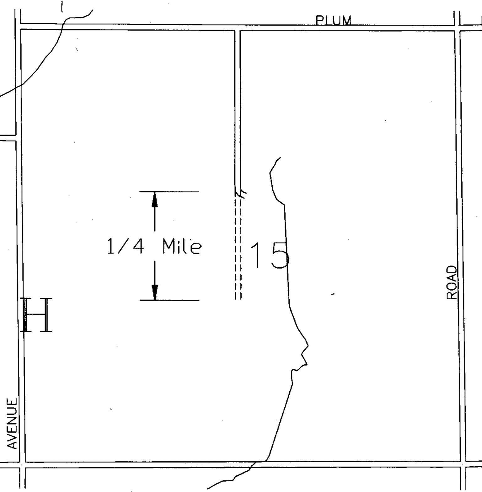
Figure 1. Setback extends ¼ mile on roads not following section lines
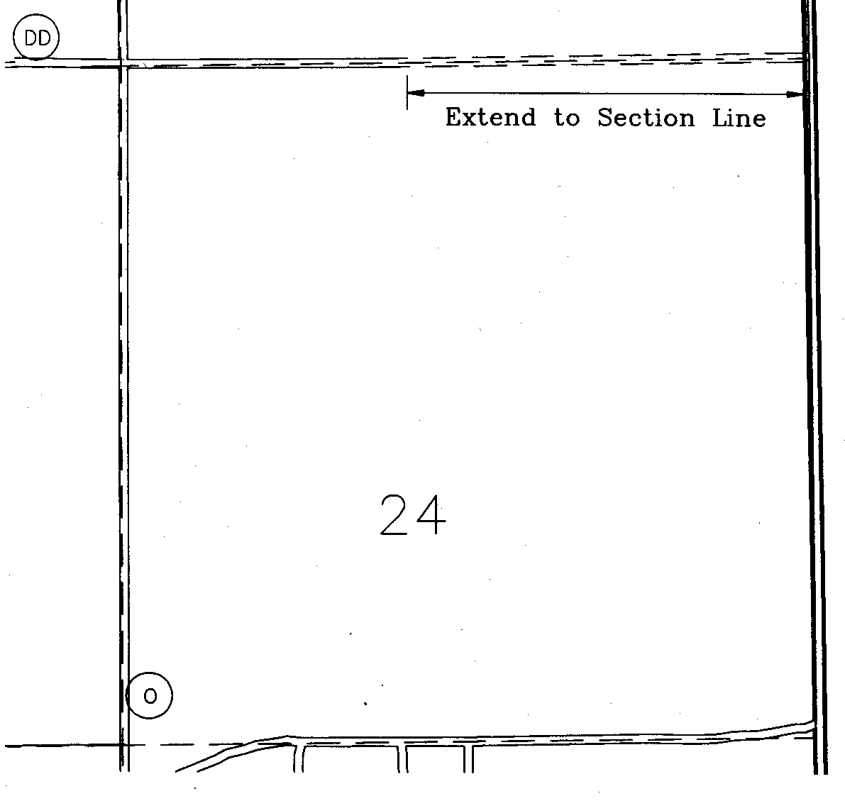
Figure 2. Setback extends to end of section line when existing road follows a section
line
(b)
No part of a yard or other open space provided about any building for the purpose of complying with the provisions of this chapter shall be included as a part of a yard or other open space required for another building.
(c)
Any side yard, rear yard or court abutting a district boundary line shall have, in the less restricted district, a minimum width and depth equal to the average of the required minimum widths and depths for such yards and courts in the two districts which abut the district boundary line.
(Ord. of 3-11-1996, § 6.02)
Sec. 16-110. - Setbacks for detached buildings and structures.
Detached buildings and structures must comply with the following:
(1)
The building or structure must be less than 144 square feet.
(2)
The building or structure shall not have a concrete base or floor.
(3)
No footing shall be buried underground.
(4)
No posts or pylons are allowed. The pillar shall be buried underground.
(5)
The building or structure must be a minimum of three feet from the property line.
(6)
The building or structure cannot be set on a utility easement.
(Ord. of 5-1-2006, § 6.03)

