
Harrison City Zoning Code
ARTICLE 2
ZONING DISTRICTS AND ZONING MAP
2.1 - RELATIONSHIP OF ZONING ORDINANCE TO COMMUNITY MASTER PLAN.
The zoning ordinance is enacted to regulate the use of private and public property and structures with the purpose of protecting public health, safety and welfare. Standards and regulations within the ordinance regulate the amount, type and use of a building allowable on a piece of land. The zoning ordinance is a tool used by the community to achieve the recommendations of the Harrison Community Master Plan, which is a guide for the long-term physical development of the City.
2.2 - DISTRICTS ESTABLISHED.
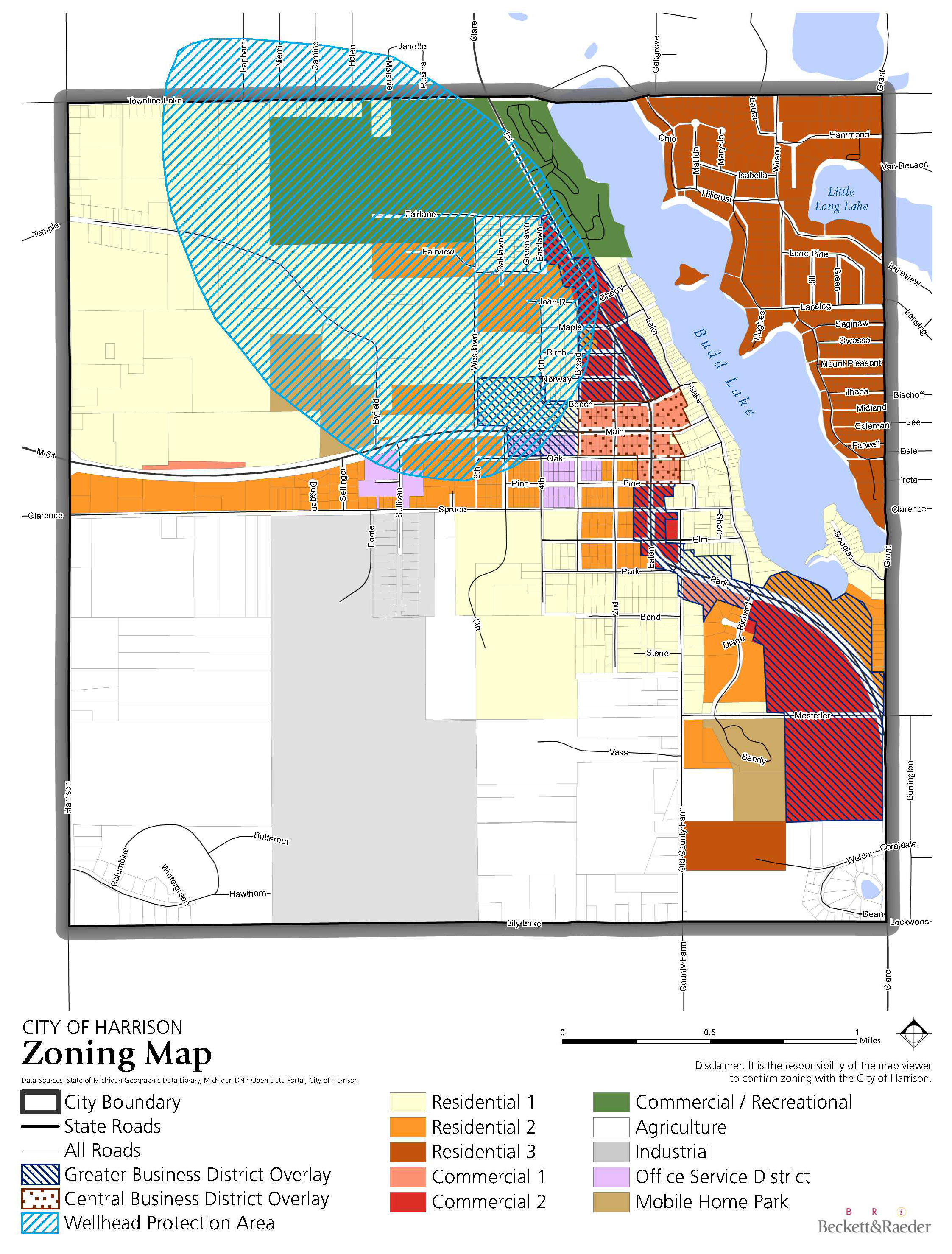
The City is hereby divided into the following districts, which shall be known as:
R-1: Low Density Residential
R-2: Medium Density Residential
R-3: Seasonal Residential
MH: Mobile Home
A-1: Open Space
CR: Commercial Resort
C-1: Downtown Commercial
C-2: Corridor Commercial
OS: Office Services
L-1: Light Industrial
2.3 - INTENT AND PURPOSE.
2.3.1
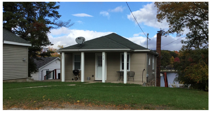
R-1 District. The R-1 District is established to provide areas of low density residential development. Desired development includes single-family dwellings. Services, facilities and uses incidental or accessory to dwellings are included.
2.3.2
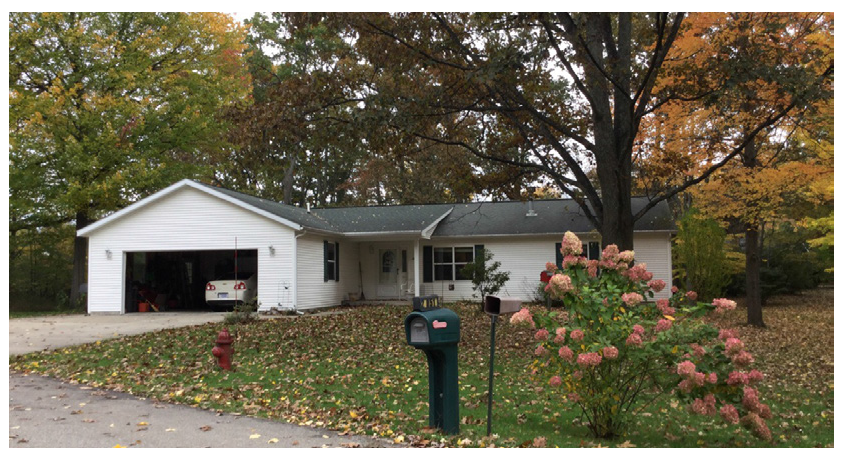
R-2 District. The R-2 District is established to provide areas of higher density of residential development than is permitted in the R-1 District. Regulations include uses permitted in the R-1 District plus residential dwellings with two or more families. Services, facilities and uses incidental or accessory to multiple family dwellings are included. It is not intended to permit commercial, industrial or similar uses except as authorized by this Ordinance.
2.3.3
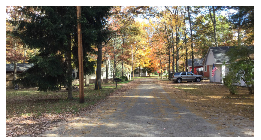
R-3 District. The R-3 District is established to provide areas in recognition of the seasonal residential development in the community. This district provides for more concentrated single-family development, less restrictions on minimum lots and minimum yards and the inclusion in the district of commercial uses which are compatible with seasonal occupancy of the area.
2.3.4
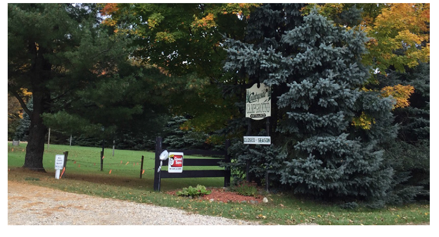
MH-Mobile Home District. The MH-Mobile Home District is intended to give recognition to the fact that mobile homes can provide satisfactory living conditions provided certain minimum standards are maintained. All mobile home park development shall comply with the applicable requirements of Act 419 of the Public Acts of 1976, as amended, and the rules of the State Mobile Home Commission as set forth and provided for under Act 419, as amended.
2.3.5
A-1 District. The A-1 District is established in recognition of the areas of sparse development customarily occurring in the fringe of the City. This area is separated from concentrated development by prominent natural or manmade barriers and is intended to serve as a transition between urban and rural development.
2.3.6
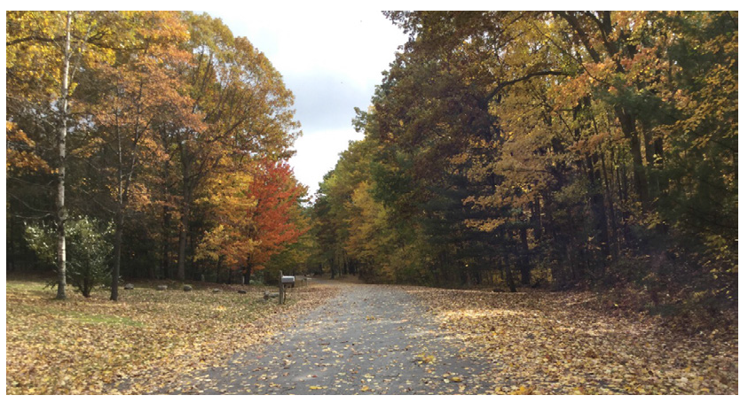
CR District (Commercial Recreational). The CR District is established to provide areas of commercial development specifically oriented to the resort industry in the community. These areas are intended to be used and occupied for tourist-resort types of businesses that take advantage of existing scenic areas in the community.
2.3.7
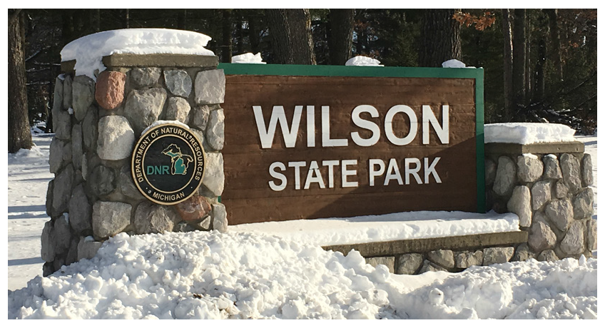
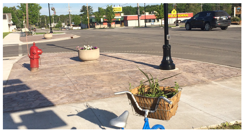
C-1 District. The C-1 District is established to provide areas of high concentrations of pedestrian-oriented retail activities. Desired development includes commercial uses accompanied by off-street parking.
2.3.8
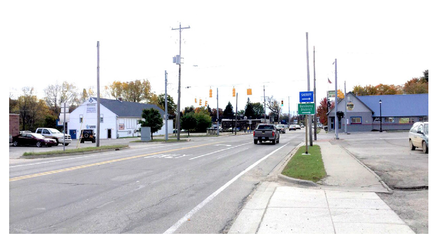
C-2 District. The C-2 District is established to provide areas of commercial development which require large exterior spaces for storage, display or sale of merchandise or commercial uses which depend upon continual movement of vehicular traffic.
2.3.9
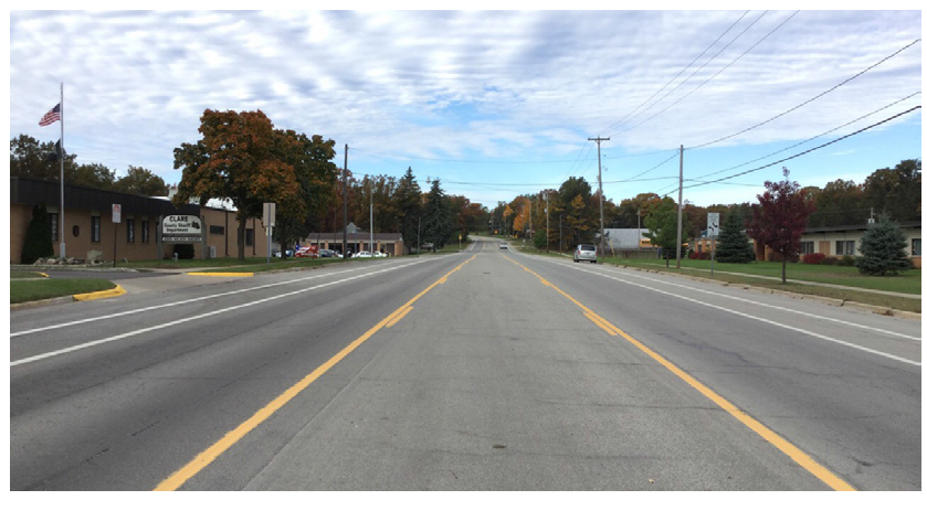
O.S. Office-Service District. The O.S. Office Service District is designed to accommodate uses such as offices, banks, and personal services which can serve as transitional areas between residential and commercial districts and to provide a transition between major thoroughfares and residential districts.
2.3.10
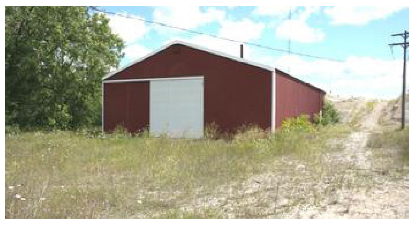
LI (Light Industrial) District. The LI District is established to provide areas of industrial development or manufacturing or uses which are compatible with industry or manufacturing. It is intended that all uses within this district conform to all applicable codes and laws pertaining to noise, fumes, smoke, vibrations, odors and other similar nuisances.
2.4 - OVERLAY DISTRICTS.
2.4.1
W-1 Wellhead Protection Overlay District.
a.
INTENT: It is the purpose of this district to protect the public water supply wells from contamination by land use activities occurring or which may occur within the delineated recharge areas for such wells. The Wellhead Protection Overlay District (WPOD) shall apply to all land within the City of Harrison Wellhead Protection Area as mapped by the Michigan Department of Environmental Quality. A WHPA is defined as the surface and subsurface areas surrounding a water well or well field, which supplies a public water system, and through which contaminants are reasonably likely to move toward and reach the water well or well field within a 10-year time-of-travel.
b.
USE STANDARDS: The most significant sources of water supply contamination are landfills, surface impoundment areas, subsurface percolation from septic tanks and cesspools, open dumps, uncapped or improperly capped abandoned wells, injection wells and underground storage tanks. When considering approving new developments in the Wellhead Protection Overlay District, the City of Harrison will consider strategies for mitigating the following uses and associated activities that may have potential to contaminate the WHPA:
1.
Manufacturing and Industrial Facilities
2.
Utility Companies
3.
Abandoned Wells
4.
Registered Storage Tanks
5.
Hazardous Waste
6.
Generators
7.
Ground Water Discharges
8.
Agricultural Operations
9.
Septic Systems or Dry Wells
2.4.2
Downtown Development Authority Overlay District. The purpose of this overlay district is to facilitate a facade improvement program and preserve the existing small town historic character to create a long lasting benefit to the City of Harrison, specifically the downtown development district. Please refer to Article 5 for a complete description of the development design standards.
2.5 - PROPERTIES WITH MULTIPLE ZONING DESIGNATIONS.
When an individual recorded parcel, which exists at the time of adoption of this ordinance, has more than one zoning classification, the zoning designation which comprises the majority of the parcel area shall be applied to the entire parcel. In all other instances interpretation of the boundaries of a zoning district shall be referred to the Zoning Board of Appeals.
2.6 - [REDUCTION OF YARD OR LOT BELOW MINIMUM REQUIREMENTS PROHIBITED.]
No yard or lot existing at the time of passage of this Ordinance [Ord. 2025-02] shall be reduced in dimension or area below the minimum requirements set forth herein. Yards or lots created after the effective date of this Ordinance [Ord. 2025-02] shall meet at least the minimum requirements of this Ordinance [Ord. 2025-02].
2.7 - [DISTRICT REQUIREMENTS.]
In any R-1, R-2, R-3 or R-4 District, a single-family dwelling and permitted accessory structures may be constructed or altered on any single lot of record at the effective date of this Ordinance [Ord. 2025-02], notwithstanding limitations imposed by other provisions of this Ordinance. Such lot must be in separate ownership and not of continuous frontage with other lots in the same ownership. This provision shall apply even though such lot fails to meet the requirements for area or width, or both, that are generally applicable in the district, provided that yard dimensions and requirements other than these applying to area of width or both, of the lot shall conform to the regulations for the district in which such lot is located. Variance of yard requirements shall be obtained only through action of the Board of Appeals.
2.8 - [LOTS ADJACENT TO EASEMENT.]
In those instances where a lot owner's lot line is adjacent to an easement that runs perpendicular to Lake Street to Budd Lake or perpendicular to Hillcrest to Budd Lake, that lot line shall be considered a side yard lot line for setback purposes.

