
Hugo City Zoning Code
ARTICLE III
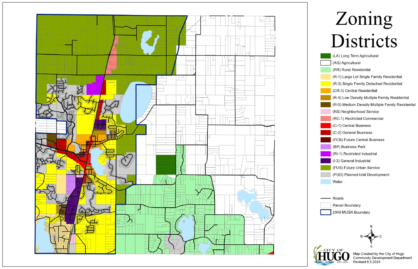
ZONING MAP
Sec. 90-66.- Maintenance and compliance.
The city's official zoning map, as it may be amended from time to time, shall be maintained by the city clerk. Property lying within a designated zoning district as shown on the map shall hereinafter conform to the rules and regulations of that district, except as permitted in article II of this chapter. No building or land within a zoning district of the city shall be used, and no building shall be erected or altered, except in compliance with these regulations. Changes to the zoning classification of properties within the city shall be made only in accordance with article II of this chapter.
(Prior Code, § 1035-10.010.1; Ord. No. 2007-409, § 1, 6-18-2007; Ord. No. 2008-416, § 1, 5-5-2008; Ord. No. 2008-417, § 1, 5-19-2008; Ord. No. 2010-447, § 1, 6-21-2010; Ord. No. 2010-451, §§ 1, 2, 12-20-2010; Ord. No. 2014-468, § 1, 2-3-2014; Ord. No. 2015-471, § 1, 8-3-2015; Ord. No. 2015-473, § 1, 10-19-2015; Ord. No. 2017-481, § 1, 4-17-2017; Ord. No. 2018-487, § 1, 5-21-2018; Ord. No. 2018-488, § 1, 5-21-2018; Ord. No. 2018-491, § 1, 11-5-2018; Ord. No. 2020-497, § 1, 1-6-2020; Ord. No. 2020-498, § 1, 1-6-2020; Ord. No. 2020-499, § 1, 4-20-2020; Ord. No. 2020-500, § 1, 5-4-2020; Ord. No. 2021-503, § 1, 3-1-2021; Ord. No. 2021-505, § 1, 6-7-2021; Ord. No. 2022-512, § 1, 3-21-2022; Ord. No. 2022-514, § 1, 8-15-2022; Ord. No. 2022-516, § 1, 10-3-2022; Ord. No. 2022-517, § 1, 11-7-2022; Ord. No. 2022-519, § 1, 12-19-2022; Ord. No. 2024-533, § 1, 8-19-2024)
Sec. 90-67. - Zoning map interpretation.
Where uncertainty exists as to the boundaries shown on the official maps, the following rules shall apply:
(1)
Boundaries indicated as approximately following streets, highways or alleyways shall be construed as following the centerlines of such features.
(2)
Boundaries indicated as approximately following platted lot lines shall be construed as following such lines.
(3)
Boundaries indicated as approximately following city limits shall be construed as following such limits.
(4)
Boundaries indicated as following shorelines shall be construed to follow such shorelines, and in the event of change in the shoreline, shall be construed as moving with the actual shore line; boundaries indicated as approximately following the centerline of streams, rivers, canals, lakes or other bodies of water shall be construed to follow such centerlines.
(5)
Boundaries indicated as parallel to, or an extension of features indicated above, shall be so construed.
(6)
Where a physical or cultural feature is used to define a boundary, and the location of the feature on the ground is at variance with its location as shown on the zoning map, the board of appeals and adjustments shall recommend, for city council approval, the regulatory location of the boundary.
(7)
Where interpretation as to the exact location of the boundaries of the floodplain is required, the city engineer shall make a determination based on elevations on the regional flood profile, actual field conditions, that existed on the site at the time the community adopted its initial floodplain ordinance or on the date of the first National Flood Insurance Program map showing the area within the 100-year floodplain if earlier, and other available technical data such as neighboring development's 100-year flood elevation and recent city modeling. A property owner who feels aggrieved by the city engineer's decision may appeal such decision to the board of appeals and adjustments
(Prior Code, § 1035-10.020.1; Ord. No. 2009-434, § 1, 10-5-2009)