El Dorado County Unincorporated
City Zoning Code
City Zoning Code
ARTICLE 1
- ZONING ORDINANCE APPLICABILITY*
Sec. 130.10.010 - Title.
This Title shall be known, and cited, and referred to as, the El Dorado County Zoning Ordinance or "Ordinance." The Zoning Ordinance constitutes a portion of the County Code of Ordinances.
Enactment of Zoning Ordinance
This Zoning Ordinance is enacted to implement the El Dorado County General Plan by classifying and regulating the uses of land and structures within unincorporated El Dorado County and is adopted to protect and promote the public health, safety, and general welfare of the County.
Sec. 130.10.020 - Authority, Relationship to General Plan.
A.
This Title is adopted based on the authority vested in El Dorado County by the State of California, including but not limited to the State Constitution, Section 65800 et seq. of the California Government Code, the California Environmental Quality Act, the Subdivision Map Act, Housing Act, Surface Mining and Reclamation Act, and applicable provisions of the Health and Safety Code.
B.
This Title is hereby adopted and shall be maintained so as to be consistent with the El Dorado County General Plan. Any land use or development approved according to the requirements of this Title shall be consistent with the General Plan and any applicable specific plan.
C.
Within the Lake Tahoe Basin, as delineated on Figure LU-1 (Land Use Diagram) of the General Plan, all land use and development approvals shall also be subject to requirements of the Lake Tahoe Regional Plan and the County Code of Ordinances.
D.
Where an inconsistency is discovered between the General Plan and the zoning designation for a lot, the General Plan designation shall govern and the inconsistency is hereby recognized to constitute a mapping error. It shall be the responsibility of the County
————
*Editor's note—Ord. No. 5090, adopted Aug. 14, 2018, amended Title 130 in its entirety, with the exception of Article 9, to read as herein set out. Capitalization and expression of numbers in text have
been unchanged from the original ordinance. Obvious misspellings and punctuation errors
have been corrected without notation. Amendments to said ordinance are indicated by
parenthetical history notes following amended provisions. The absence of a history
note indicates that the provision remains unchanged from the original ordinance. For
a detailed analysis and derivation of former Title 130, see the Code Comparative Table.
to correct any such mapping error within 180 days from the date the inconsistency is discovered. The correction of a mapping error shall be exempt from the County's customary application and processing fees. To ensure timely resolution of mapping errors, the County shall schedule hearings for amendments to the Zoning Ordinance at least quarterly.
Sec. 130.10.030 - Responsibility for Administration.
A.
Responsible Bodies and Individuals. This Title shall be administered by:
1.
The El Dorado County Board of Supervisors, hereafter referred to as the Board;
2.
The Planning Commission, hereafter referred to as the Commission;
3.
The County Zoning Administrator, hereafter referred to as the Zoning Administrator;
4.
The County Agricultural Commission, hereafter referred to as the Ag Commission;
5.
The County Agricultural Commissioner, hereafter referred to as the Agricultural Commissioner;
6.
The Director of the Planning and Building Department or designee, hereafter referred to as the Director; and
7.
The Planning and Building Department hereafter referred to as the Department.
B.
Advisory Committees. The Board may appoint Advisory Committees to review design review applications, or provide input on other issues of concern to the Board or the Commission. These Advisory Committees include, but are not necessarily limited to, the following:
1.
Cameron Park Design Review Committee.
2.
El Dorado Hills Design Review Committee.
3.
Pollock Pines Design Review Committee.
4.
Community and Economic Development Advisory Committee ("CEDAC").
5.
Diamond Springs-El Dorado Community Advisory Committee.
6.
Meyers Area Plan Advisory Committee.
C.
Responsibility and Authority of the Director. The duties and responsibilities of the Director are those enumerated in Article 6 (Zoning Ordinance Administration) of this Title, in this Title and in other Titles of the County Code of Ordinances. Whenever this Title refers to the Director, it is expressly understood to include Department staff acting under the direction and control of the Director, and whenever this Title refers to the Department it is expressly understood to describe Department staff acting under the direction and control of the Director.
D.
Rules of Application. This Title shall be applied in the following manner:
1.
Minimum Requirements. The provisions of this Title shall be deemed to be the minimum standards unless stated otherwise (for example, maximum building height or maximum density). These standards shall apply to all buildings, structures and uses, except where this Title provides for the exercise of discretion or where a variance is granted.
2.
Conflicting Provisions. If conflicts occur between different requirements of this Title, or between provisions of this Title and requirements imposed by other provisions of the County Code of Ordinances or other laws, and regulations adopted by the County, the more stringent development requirement or greater restriction on the use of land or buildings shall apply.
3.
Single Lot Containing Multiple Zones. Where the boundaries of the zone designation are not coterminous with the property line boundaries, a single lot will contain multiple zones. In that event, the County shall first determine if the zone boundary appears to be the result of a mapping error. In that case, the mapping error shall be resolved as provided in Subsection D.5 (Map Corrections) below in this Section.
Where the County determines that a mapping error has not occurred, the uses of the lot shall be consistent with the zone as shown for the portion of the lot on which the use is proposed. Multiple uses of a lot with multiple zones are expressly allowed consistent with the requirements of each zone. The precise location of the uses may be modified by a planned development or specific plan. Any uncertainty as to the boundaries of each zone within the lot shall be determined pursuant to Subsection D.4 (Map Boundaries) below in this Section.
4.
Map Boundaries. Where the boundaries of any zone shown on the zoning maps are uncertain, the following rules shall apply to resolve the uncertainty:
a.
Where a zone boundary approximately follows a lot line, or road or street, such lot line or the centerline of the road or street shall be construed to be the boundary.
b.
Where a zone boundary approximately follows a stream or river, ridge line or other distinct geographic or topographic feature, such stream or geographic feature shall be construed to be the boundary.
c.
If a zone divides a lot, and the boundary line location is not otherwise designated, the location of the boundary shall be determined by the use of the scale appearing on the zoning map.
5.
Map Corrections. Where a zone boundary appears to be in error, the Director may make the correction based on historical data, prior zoning maps, clear legislative intent, and other available information. Where the record is unclear, the zoning shall be reviewed by the Commission to determine if the map is in error. If, after review of the record, the Commission finds that the map is in error, they shall direct the Director to correct said error by revising the official maps accordingly within 30 days of the Commission's review.
(Ord. No. 5177, § 1, 6-20-2023)
Sec. 130.10.040 - Applicability of Zoning Ordinance.
A.
Area of Applicability. The provisions of this Title shall apply to all lands within the unincorporated area of the County of El Dorado except as provided in Subsection B (Exemptions from Zone Ordinance Requirements) below in this Section.
B.
Exemptions from Zone Ordinance Requirements. The provisions of this Title do not apply to the following activities, uses, and structures, except where provisions of a memorandum of understanding between the County and another governmental agency provide for County regulatory authority or otherwise provided by law:
1.
Activities of the Federal Government on federally owned or leased land.
2.
Activities of the State of California or any agency of the state on state owned or leased land.
3.
Activities of a local agency, as defined in California Government Code Section 53090, as provided in Section 53091 et seq.
4.
The location and construction of facilities for water and electrical energy as provided in California Government Code Section 53091.
5.
Tribal lands which are not subject to the jurisdiction of the County.
6.
Existing and future preemptions of local land use authority resulting from State Law.
C.
Effect of Zoning Ordinance Changes on Projects in Progress. The enactment of this Title or amendments hereto may have the effect of imposing different standards on development or new uses from that which previously applied. Following the effective date of this Title the following provisions shall apply:
1.
Pending Applications. Applications which have been determined by the Department to be complete and in compliance with California Government Code Section 65943 before the effective date of this Title, or any amendment hereto, shall comply with the provisions of this Title in effect on the date that the application is deemed complete.
2.
Approved Applications. Applications approved prior to the effective date of this Title, or any amendment hereto, may be constructed or used in accordance with the conditions of approval therefore; provided, however, approval of any extension shall be governed by the provisions of Subsection C.3 (Time Extensions) below in this Section.
3.
Time Extensions. An approval of an extension of time for an approved application may be conditioned to comply with the provisions of this Title in effect when the application for time extension is deemed complete in compliance with California Government Code Section 65943 where necessary to comply with state and federal law or to protect public health and safety. Provisions regarding processing of time extensions are found in Chapter 120.74 (Expiration of Approved Maps) of the County Code of Ordinances.
4.
Subdivisions. Except as provided in Title 120 (Subdivisions), Chapter 120.68 (Vesting Tentative Maps) of the County Code of Ordinances and California Government Code Section 66498.1, the provisions of this Subsection shall apply only to the creation of lots authorized by an approved tentative map or tentative parcel map deemed complete prior to the effective date of this Title. Subsequent development of lots shall meet the provisions of this Title in effect at the time that such subsequent development occurs unless provisions of a planned development or other application under Subsections C.1 (Pending Applications) and C.2 (Approved Applications) above in this Section, apply.
D.
Exception for Area Covered by Specific Plan. Where a specific plan has been adopted for an area in compliance with Chapter 130.56 (Specific Plans) in Article 5 (Planning Permit Processing) of this Title and California Government Code Section 65450 et seq., the zones, development standards, and other provisions of the specific plan and any implementing ordinance adopted in compliance with that plan shall supersede the provisions of this Title. In the event that a specific plan implementing ordinance does not address an issue, the provisions of this Title shall apply.
E.
Private Agreements. The Zoning Ordinance is not intended to interfere with, repeal, abrogate, or annul any easement; covenant; deed restriction; Covenants, Conditions, and Restrictions (CC&Rs); or other agreement between private parties. Where conflict occurs between the Zoning Ordinance and a private agreement, the County shall apply the Zoning Ordinance. The County shall not be responsible for monitoring or enforcing private agreements.
Sec. 130.10.050 - Rules of Interpretation.
The Director shall have the authority to issue administrative interpretation of the provision of this Title to resolve ambiguities.
A.
Record of Interpretations. Whenever the Director determines that the applicability or the meaning of any of the provisions of the Title is ambiguous, the Director may issue an official interpretation. Official interpretations shall be in writing, and cite the provision being interpreted, together with an explanation of its meaning or application in the particular or general circumstances that caused the need for interpretation. Where the Director finds that no clear interpretation can be made, the matter may be referred to the Commission. The Commission shall hold a public hearing prior to making an interpretation. Notice of such hearing shall be provided by listing the matter on the Commission agenda and posting notice at least 72 hours prior to the hearing. A record of all official interpretations shall be maintained and available for public review both at the Department offices and posted on the Department web site, indexed by the section number of this Title that is the subject of the interpretation. Interpretations of the Director or Commission shall be incorporated into the official text of the Ordinance within 12 months of the Director or Commission determination through the County text amendment process.
B.
Appeal of Interpretations. Interpretations by the Director, Zoning Administrator or Commission may be appealed in accordance with Section 130.52.090 (Appeals) in Article 5 (Planning Permit Processing) of this Title. Until such time as the interpretations are incorporated into the official text of the Ordinance, interpretations are only advisory to the Board.
Sec. 130.10.060 - Severability.
If any provision of this Title is for any reason held to be invalid, unconstitutional, or unenforceable by a court of competent jurisdiction, the decision shall not affect the validity of the remaining portions of this Title. The Board hereby declares that it would have adopted this Title and each provision thereof, irrespective of the fact that any one or more portions of this Title may be declared invalid, unconstitutional, or unenforceable.
Sec. 130.10.070 - Indemnification and Hold Harmless Agreement.
A.
Applicant's Agreement to Indemnify and Hold Harmless. As a condition of approval of a land use application, the applicant shall agree to defend, indemnify, and hold harmless the County or its agents, officers, and employees from any claim, action, or proceeding against the County or its agents, officers, or employees to attack, set aside, void, or annul an approval of the County, an advisory agency, appeal board or legislative body concerning the map or permit or any other action relating to or arising out of County approval.
B.
County's Duty to Notify Applicant and Cooperate in Defense. Any condition of approval imposed in compliance with this Title shall include a requirement that the County act reasonably to promptly notify the applicant of any claim, action, or proceeding and that the County cooperate fully in the defense.
Sec. 130.12.010 - Zones Established.
This Section identifies the official zones that are established and shown on the zoning maps created in compliance with Section 130.12.020 (Zoning Map and Zones) below in this Chapter.
A.
Official Zones.
1.
Residential
Residential, Multi-unit (RM)
Residential, Single-unit (R)
Residential, One-acre (R1A)
Residential, Two-acre (R2A)
Residential, Three-acre (R3A)
Residential, Estate (RE)
2.
Agricultural, Rural, and Resource
Limited Agricultural (LA)
Planned Agricultural (PA)
Agricultural Grazing (AG)
Timber Production (TPZ)
Forest Resource (FR)
Rural Lands (RL)
3.
Commercial
Commercial, Professional Office (CPO)
Commercial, Limited (CL)
Commercial, Main Street (CM)
Commercial, Community (CC)
Commercial, Regional (CR)
Commercial, General (CG)
Commercial, Rural (CRU)
4.
Industrial
Industrial, Light (IL)
Industrial, Heavy (IH)
Research and Development (R&D)
5.
Special Purpose
Recreational Facilities, Low-Intensity (RF-L)
Recreational Facilities, High-Intensity (RF-H)
Open Space (OS)
Transportation Corridor (TC)
6.
Codified Area Plan
Meyers
Area Plan (MAP)
B.
Minimum Lot Size Designation. A designator indicating the minimum lot size shall be applied to all R, RE, PA, LA, RL, FR, and AG zones.
1.
For R zones the numeric designator shall represent minimum lot sizes of 6,000 and 20,000 square feet, expressed as "R1" for 6,000 square feet and "R20K" for 20,000 square feet.
2.
For RE zones the numeric designator shall represent the minimum lot size expressed in acres. The designator shall be one of the following: -5 and -10.
3.
For PA, LA and RL zones the numeric designator shall represent the minimum lot size expressed in acres. The designator shall be one of the following: -10, -20, -40, -80, and -160.
4.
For FR zones the numeric designator shall represent the minimum lot size expressed in acres. The designator shall be one of the following: -40, -80, and -160.
5.
For AG zones the numeric designator shall represent the minimum lot size expressed in acres. The designator shall be one of the following: -40, -80, and -160.
C.
Meyers Area Plan Zones. To implement the Meyers Area Plan, each of the five subareas shall be designated on the official zoning map as MAP-1, MAP-2, MAP-3, MAP-4, and MAP-5 to reflect the subareas and the variables that each area represents in compliance with Chapter 130.26 (Meyers Area Plan (MAP) Zone) in Article 2 (Zones, Allowed Uses, and Zoning Standards) of this Title.
D.
Combining Zones. In addition to the primary zones established by Subsection A (Official Zones) above in this Section, the following combining zones are established:
1.
Airport Safety (-AA)
2.
Avalanche (-AV)
3.
Dam Failure Inundation (-DFI)
4.
Design Review-Community (-DC)
5.
Design Review-Historic (-DH)
6.
Design Review-Scenic Corridor (-DS)
7.
Manufactured/Mobile Home Park (-MP)
8.
Mineral Resource (-MR)
9.
Noise Contour (-NC)
10.
Planned Development (-PD)
11.
Tahoe Basin (-T)
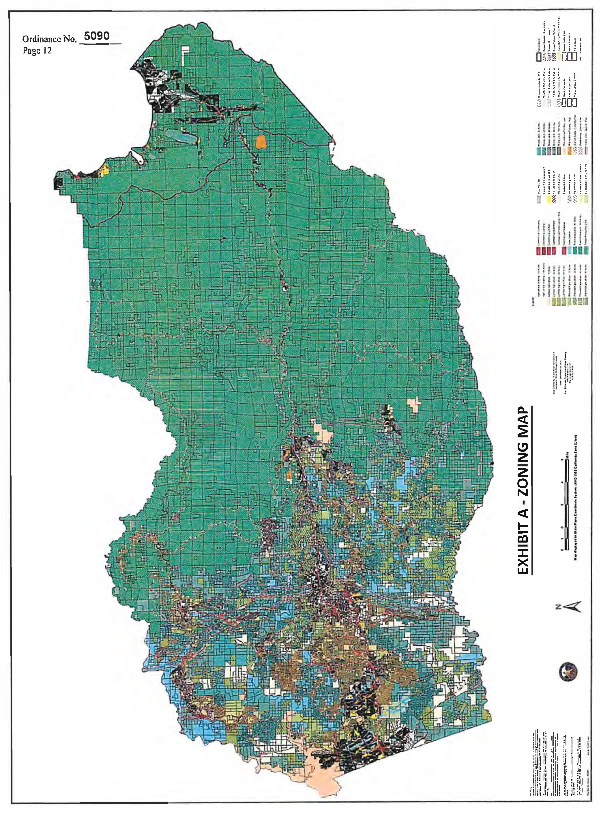
Sec. 130.12.020 - Zoning Map and Zones.
The boundaries of the zones established by Section 130.12.010 (Zones Established) above in this Chapter shall be shown on the maps designated as the "County of El Dorado Zoning Maps," hereinafter referred to as Zoning Map. The Zoning Map shall be adopted by the Board in compliance with applicable law, and is hereby incorporated into this Title by reference as though it were fully set forth herein (see Exhibit A—Zoning Map). Any changes to the Zoning Map shall be accomplished as set forth in Chapter 130.63 (Amendments and Zone Changes) in Article 6 (Zoning Ordinance Administration) of this Title.