
Suffolk City Zoning Code
SEC. 31-403
RELATION OF ZONING DISTRICTS TO COMPREHENSIVE PLAN AND PURPOSE STATEMENTS.
(a)
PURPOSE STATEMENT FOR GENERAL ZONING DISTRICTS. The purpose of this Article is to implement the Comprehensive Plan. Pursuant to Code of Virginia, § 15.2-2284, all Zoning Ordinances or regulations adopted pursuant to this Ordinance shall be consistent with the Comprehensive Plan. This Section includes a summary of each development district.
| Purpose Statement | Illustration |
|---|---|
| C (CONSERVATION). The purpose of this district is to protect and conserve those irreplaceable land and water resources that are critical to the welfare of the people of Suffolk and that are particularly intolerant to use by man. The importance of the district is based on its unique qualities as habitats for the propagation of natural animal and plant life or as existing or future sources of potable water for the people of Suffolk. |  |
| A (AGRICULTURAL DISTRICT). The A (Agricultural) district provides areas for high intensity agricultural operations as well as agri-business and supportive industrial and commercial uses. A zoning implements the policies of the Comprehensive Plan to protect and preserve valuable agricultural areas and to implement agricultural protection zoning, to develop performance standards for rural businesses, to formulate policies for preservation of rural areas, pasture land and agriculture, to set maximum permissible densities or new zoning districts, to define specific areas for rural commercial uses, and to identify areas appropriate for agricultural preservation. | 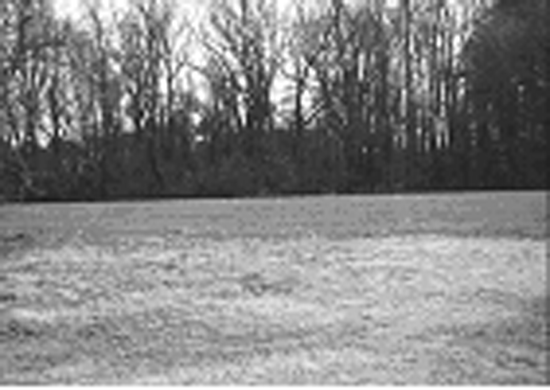 |
| R (RURAL RESIDENTIAL). The RR district encourages the continuation of low-density rural use of non-prime agricultural lands and provides a buffer between agricultural lands and urbanizing areas. | 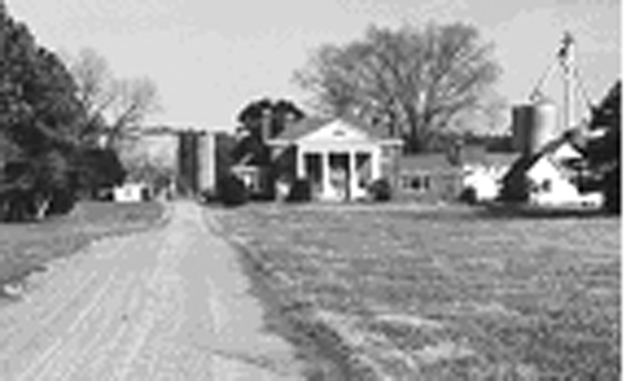 |
| RE (RURAL ESTATE). To provide areas for low density single family uses in the Northwest and North Central areas of the City. This zoning district implements the policies of the Comprehensive Plan to provide a low-density residential area within the drinking water watersheds, which provides for major subdivisions on central water systems with private septic systems. This district maintains balance and diversity in the City's housing stock by permitting high quality residential housing in conjunction with other districts which disperse housing for other income groups throughout the City. | 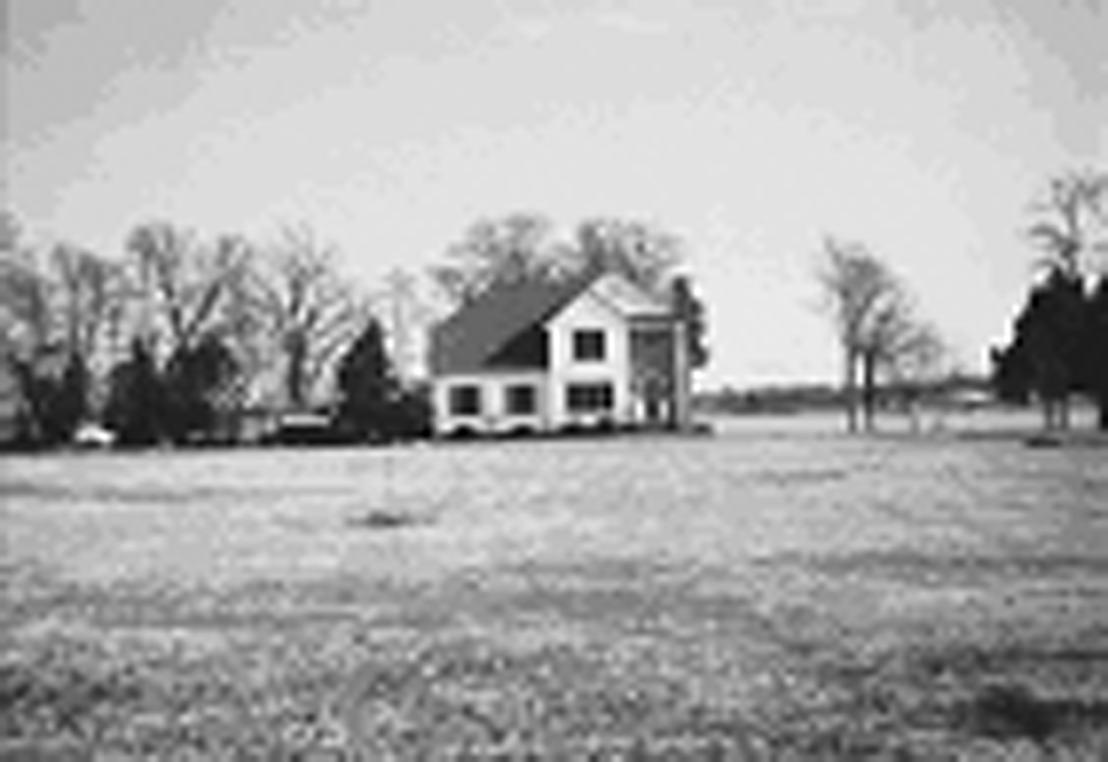 |
| L (RESIDENTIAL LOW DENSITY). To provide areas for low density single family uses which provides a buffer between A, RR, RE and the more intensive residential zoning district classifications. This zoning district implements the policies of the Comprehensive Plan; to maintain balance and diversity in the City's housing stock by permitting high quality residential housing in conjunction with other districts which disperse housing for other income groups throughout the City. | 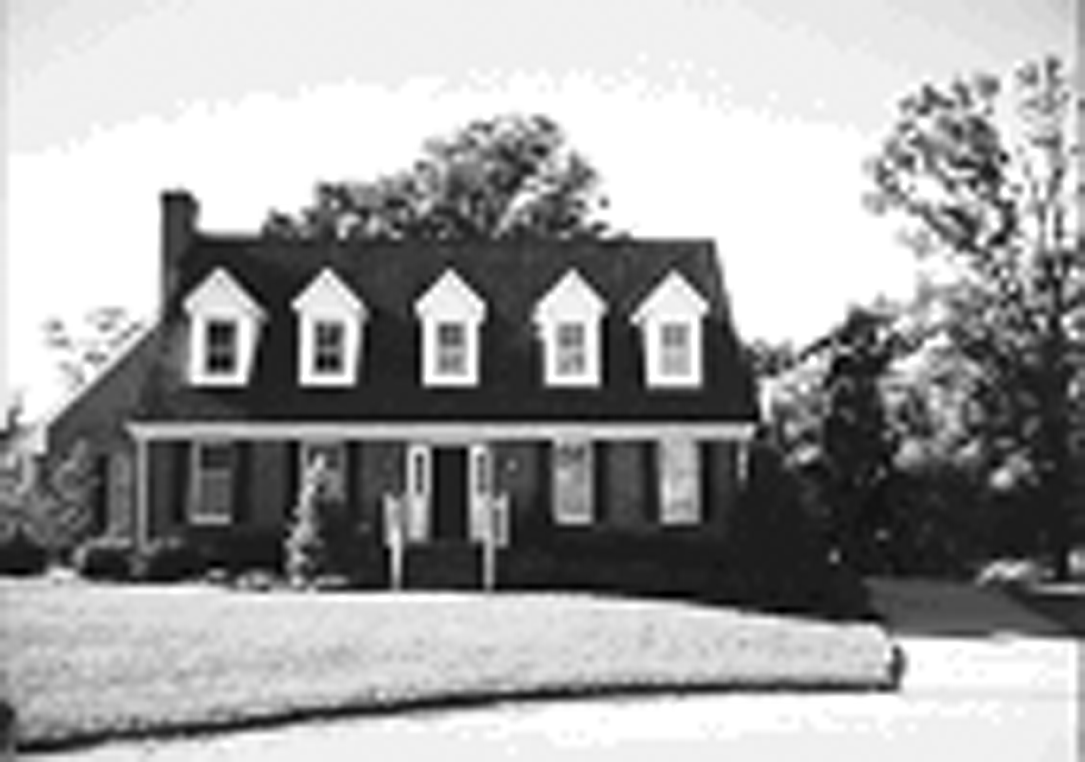 |
| RLM (RESIDENTIAL LOW-MEDIUM DENSITY). To provide areas for low-medium density, single-family residential uses where adequate public facilities and services exist or are planned with capacity to serve development. Residential low-medium density provides a flexible minimum and maximum lot size in order to allow for market and design flexibility while preserving the neighborhood character and permitting applicants to cluster development in order to preserve environmentally sensitive land areas. | 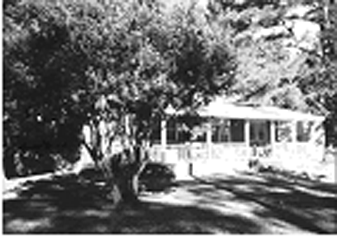 |
| RM (RESIDENTIAL MEDIUM DENSITY). To provide for detached and attached single family homes in areas where large-lot development is discouraged and adequate public facilities and services are available. RM supports the principles of concentrating urban growth and reinforcing existing community centers. Design standards are required in order to encourage the development of neighborhoods that are pedestrian-friendly and accessible to services and retail. A mix of dwelling types is allowed in this district. | 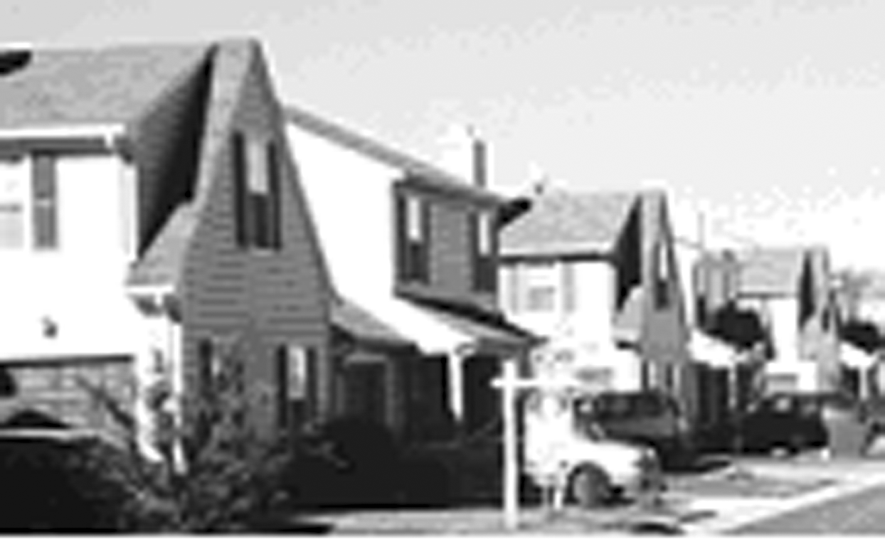 |
| RC (COMPACT RESIDENTIAL). RC is a medium-to-high density district allowing for compact development consisting of the full spectrum of residential unit types including single family attached dwellings, townhouse, duplex and apartments within specified densities where adequate public facilities and services are available. It is also appropriate for multi-family (including townhouses) buffer zones between commercial/industrial areas and low-density residential uses, and transportation thoroughfares proximate to public services and supportive retail facilities. RC may serve as a transitional district between single family and commercial or office districts. This district is intended to allow a mix of residential unit types and densities to provide a balance of housing opportunities while maintaining neighborhood compatibility. | 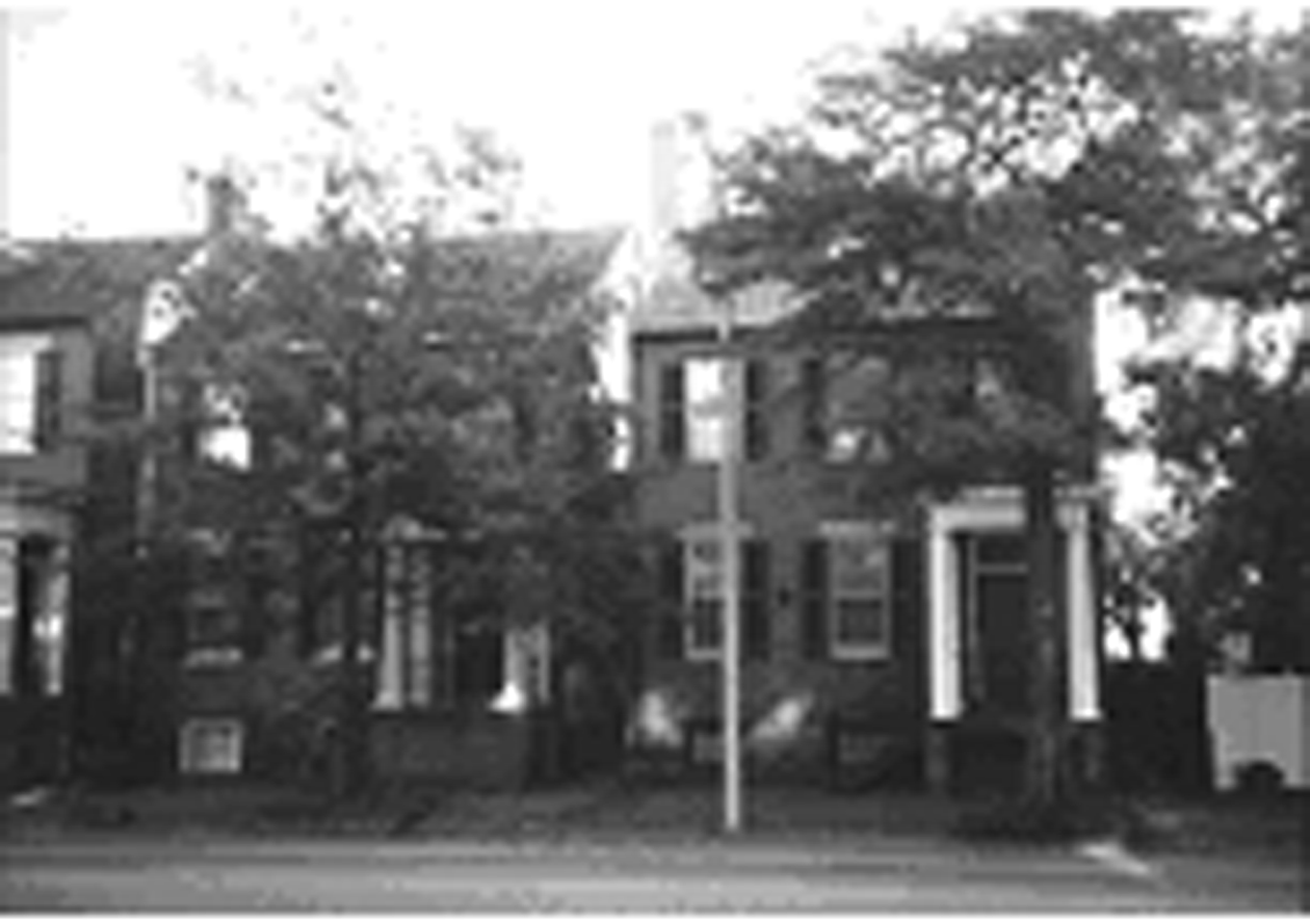 |
| RU (URBAN RESIDENTIAL). RU is a high density district allowing for development consisting of the full spectrum of residential unit types including single family attached and detached dwellings, townhouse, duplex and apartments within specified densities where adequate public facilities and services are available, multi-family buffer zones between commercial/industrial areas and low-density residential uses, and transportation thoroughfares proximate to public services and supportive retail facilities. RU may serve as a transitional district between single family and commercial or office districts in the urbanized areas. This district is intended to allow a mix of residential unit types and densities to provide a balance of housing opportunities while maintaining neighborhood compatibility. | 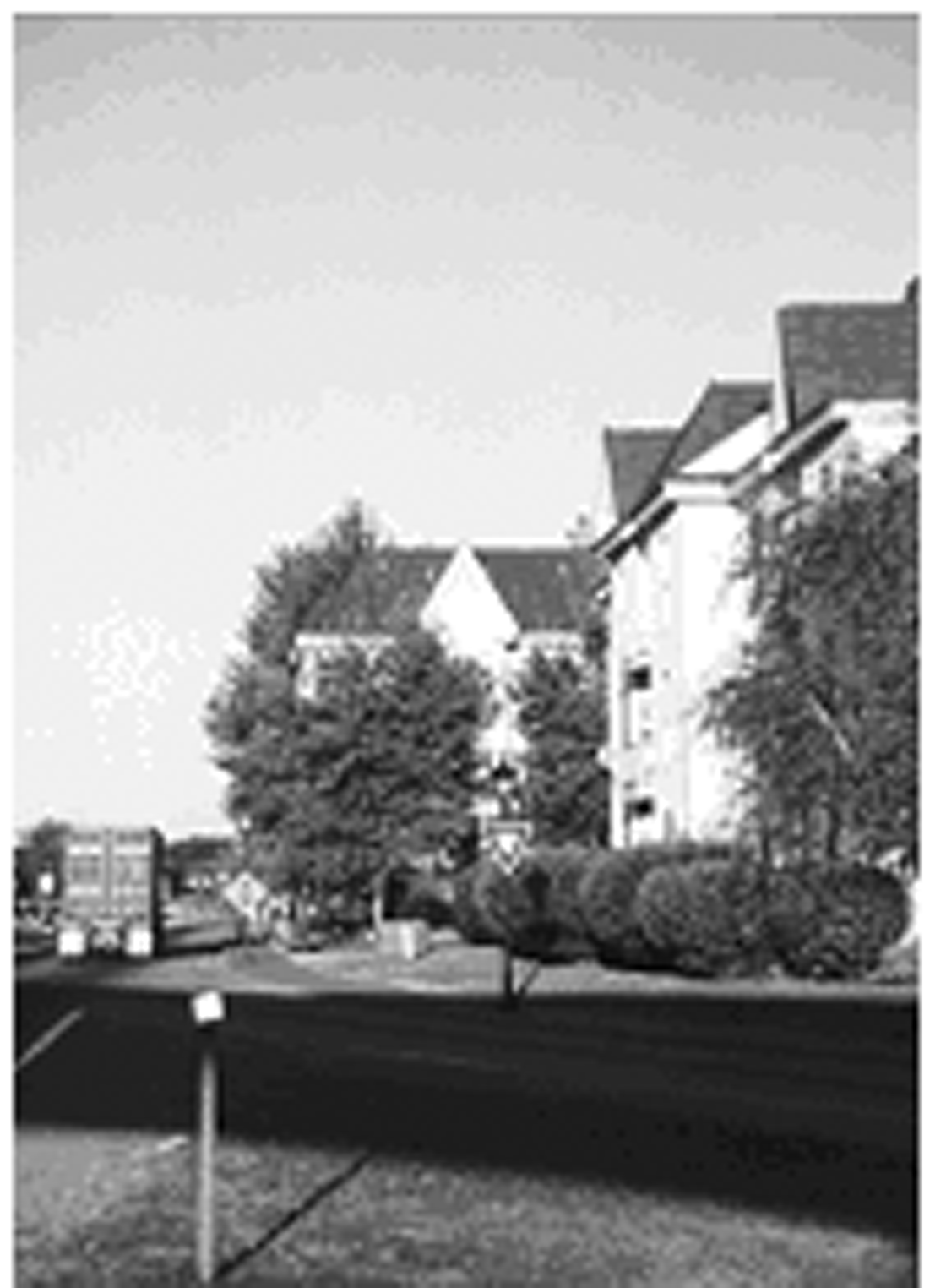 |
| RU-12 (URBAN RESIDENTIAL-12). RU-12 is a high density district allowing for the full spectrum of residential unit types including single family detached dwellings, single family attached dwellings, townhouse, duplex and apartments at a maximum of 12 dwelling units per acre where adequate public facilities are available. This district is intended to provide multi-family buffer zones between commercial/industrial areas and low density residential uses, and transportation thoroughfares proximate to public services and supportive retail facilities. This district is also intended to provide additional housing options and a mix of unit types while maintaining neighborhood compatibility. | 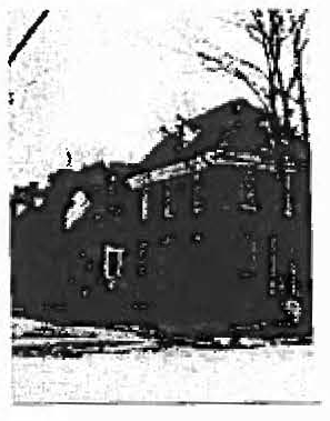 |
| RU-18 (URBAN RESIDENTIAL-18). RU-18 is a high density district allowing for primarily single family attached and multi-family dwelling units in interconnected and multi-modal neighborhoods at a maximum density of 18 units per acre. This district is intended to provide greater housing options, be retail supportive, complement existing, surrounding neighborhoods, and shorten travel times of its residents. | 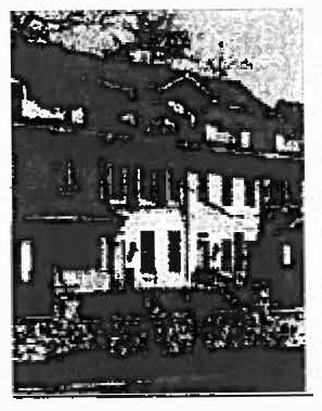 |
| RU-24 (URBAN RESIDENTIAL-24). RU-24 is a high density district allowing for primarily single family attached and multi-family dwelling units in interconnected, multi-modal, walkable neighborhoods at a maximum density of 24 units per acre. This district is intended to provide accessibility to commercial centers and be located along transit supportive corridors. The higher density development found within this district will support retail and business activity of nearby commercial locations and provide housing options without disrupting existing, nearby neighborhoods. | 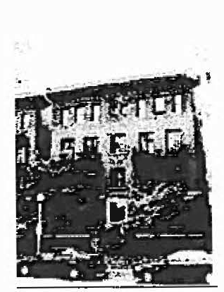 |
| MUC-40 (MIXED USE CORE-40). MUC-40 is a high density district allowing for multi-family dwelling units in redevelopment, adaptive reuse, infill, and greenfield development opportunities. This district is intended to co-mingle with business and retail units in a vertical orientation along existing commercial corridors. In support of neighborhood commercial and residential buildings, new development should be walkable, transit supportive, and create a definable sense of place. | 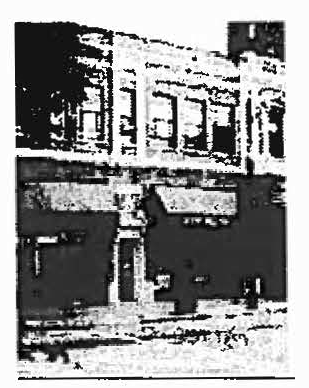 |
| B-1 (NEIGHBORHOOD COMMERCIAL). To provide neighborhood services, small areas for office and professional services with shopfront retail uses and shops for artisans and craftsmen, designed in scale with surrounding residential uses. This district provides a balance of residential and non-residential land use opportunities reflecting the economic needs of residents and business owners. | 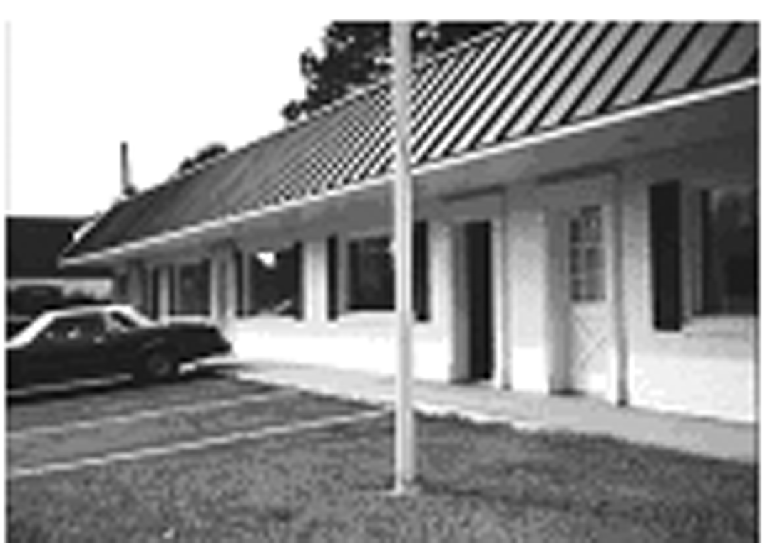 |
| B-2 (GENERAL COMMERCIAL). General commercial activities designed to serve the community such as repair shops, wholesale businesses, warehousing and general commercial sales with some outdoor display of goods but with limited outdoor operations. The redevelopment of existing shopping centers to eliminate large expanses of surface parking and to promote a "Main Street" appearance is encouraged. This district promotes a broad range of commercial operations and services necessary for large regions of the City, providing community balance. | 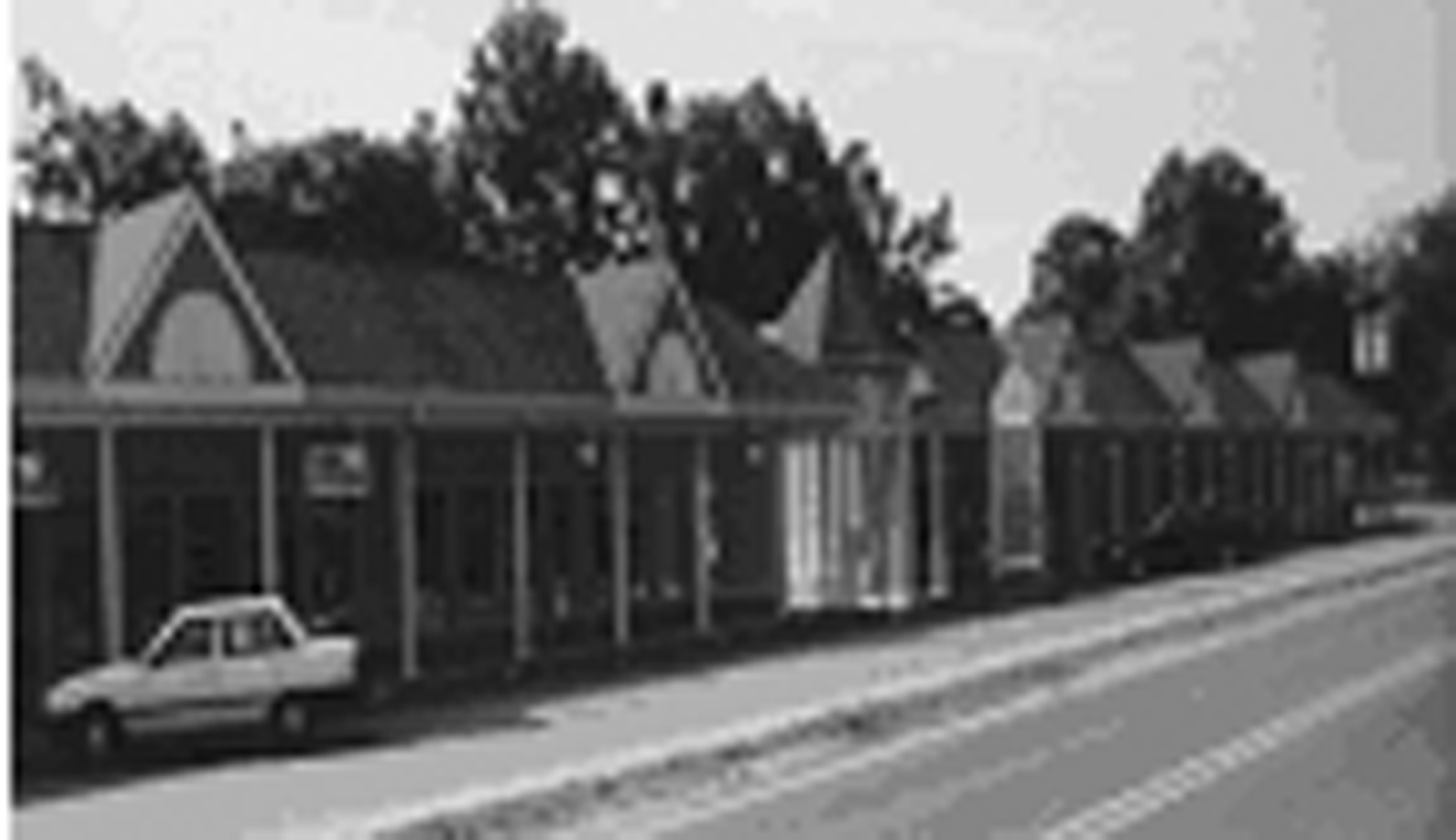 |
| O-I (OFFICE/INSTITUTIONAL). Institutional, Indoor retail, service and office uses requiring arterial street access and business and commercial development along urban arterials. The purpose of the O-I district is to accommodate well-designed development sites that provide excellent transportation access, make the most efficient use of existing infrastructure and provide for orderly transitions and buffers between uses. | 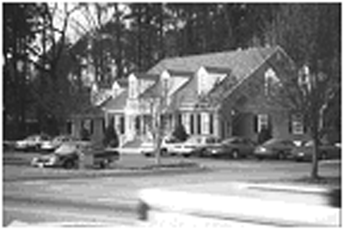 |
| CP (COMMERCE PARK). Provides for office, office warehouse and research and development facilities in a controlled park-like setting. | 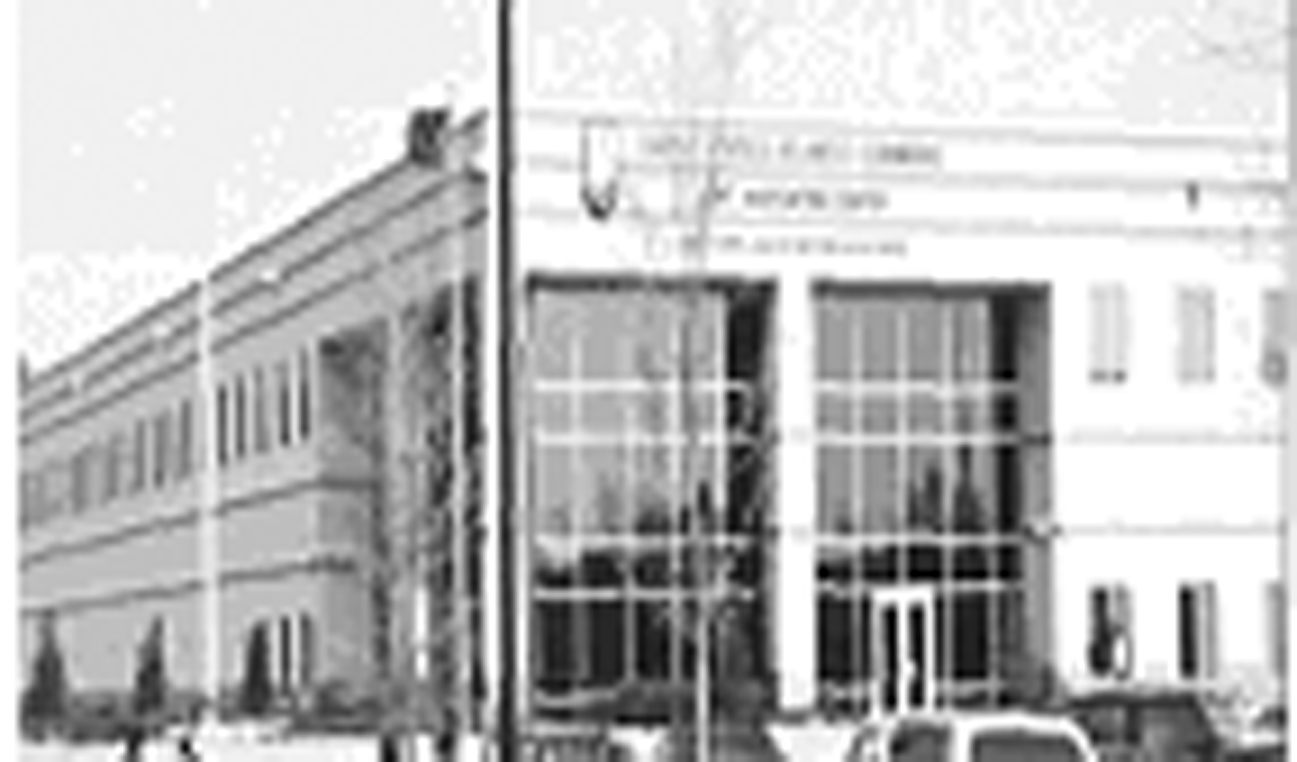 |
| M-1 (LIGHT INDUSTRIAL). To provide for a mix of light manufacturing or research and development-related uses and limited retail and service uses that service the industrial uses in an attractive business park setting with proper screening and buffering, all compatible with adjoining uses. | 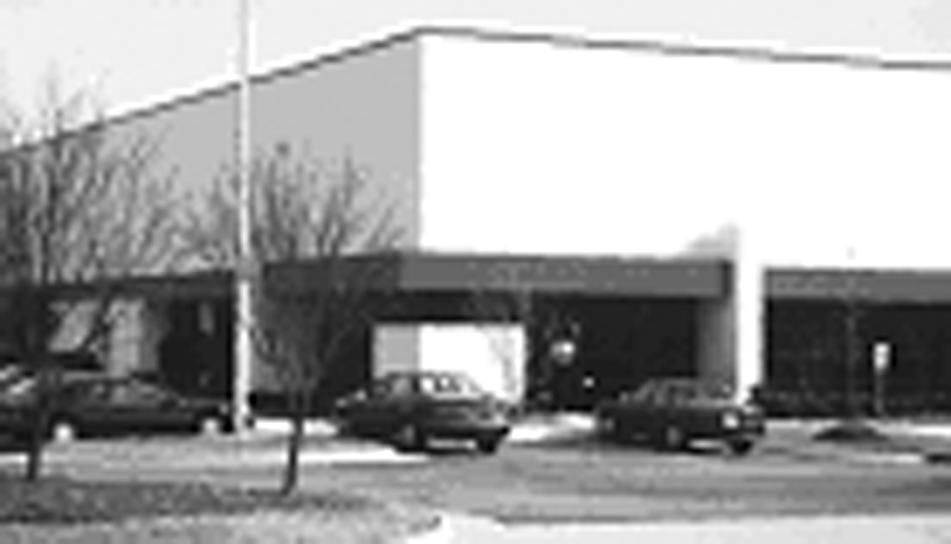 |
| M-2 (GENERAL INDUSTRIAL). Areas of heavy and concentrated fabrication, manufacturing and industrial uses which are suitable based upon adjacent land uses, access to transportation and the availability of public services and facilities. It is the intent of this district to provide an environment for industries that is unencumbered by nearby residential or commercial development. M-2 must be located in areas where conflicts with other uses can be minimized to promote orderly transitions and buffers between uses. The M-2 district is established in order to provide sites suitable for natural resource extractive uses, and manufacturing facilities that have a greater impact on the surrounding area than industries found in the M-1 district. | 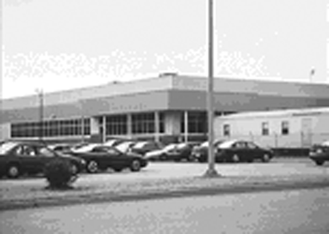 |
| CBD (CENTRAL BUSINESS DISTRICT). The CBD district provides concentrated downtown civic retail, service, office, residential and other uses in the existing central business district of the City of Suffolk. Urban design standards are required in order to protect property values, promote pedestrian activity and to maintain the unique character of the center. Large outdoor sales areas are not permitted. Designated pedestrian circulation and amenities are required as are common parking areas. The CBD district promotes the long-term vitality of this economic and residential mixed use center. | 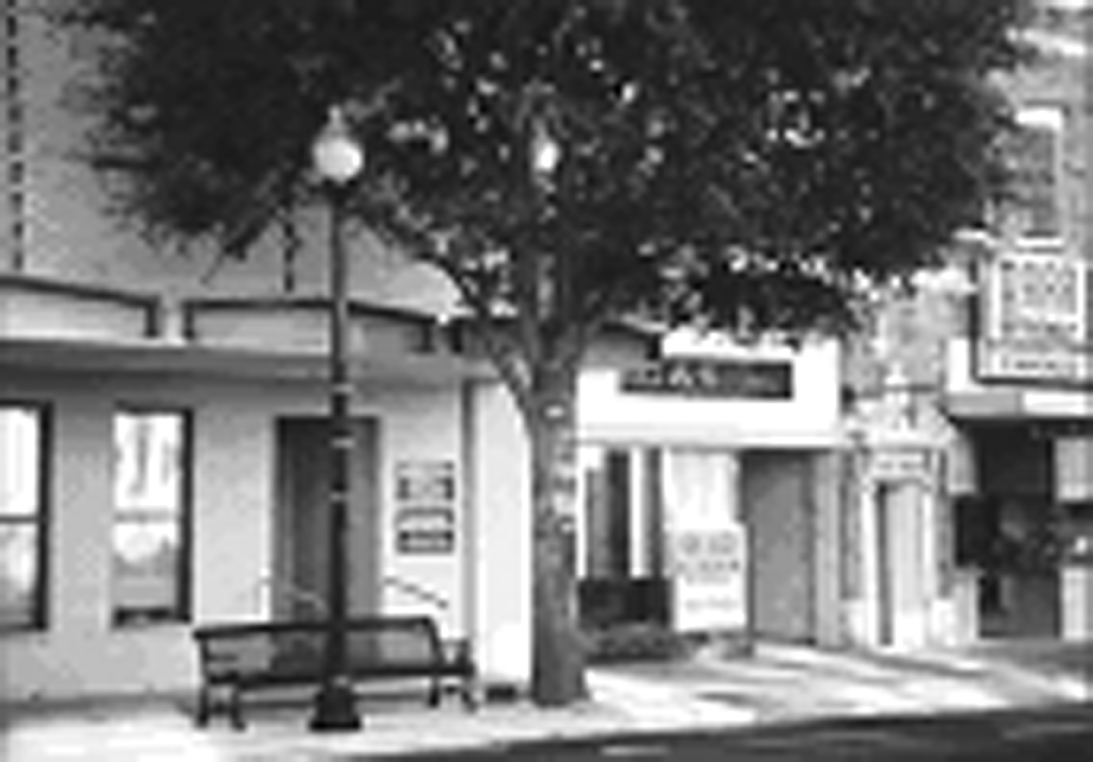 |
| VC (VILLAGE CENTER). The VC district provides a mix of concentrated downtown civic, retail, service, office and residential uses in the traditional town centers of Holland and Whaleyville, as well as other traditional centers which may be designated pursuant to a Comprehensive Plan amendment (such as Driver or Chuckatuck). Urban design standards are established to protect property values, to maintain a rural village scale, to promote pedestrian activity and to preserve the unique character of these areas. Pedestrian circulation and common parking areas are encouraged. |  |
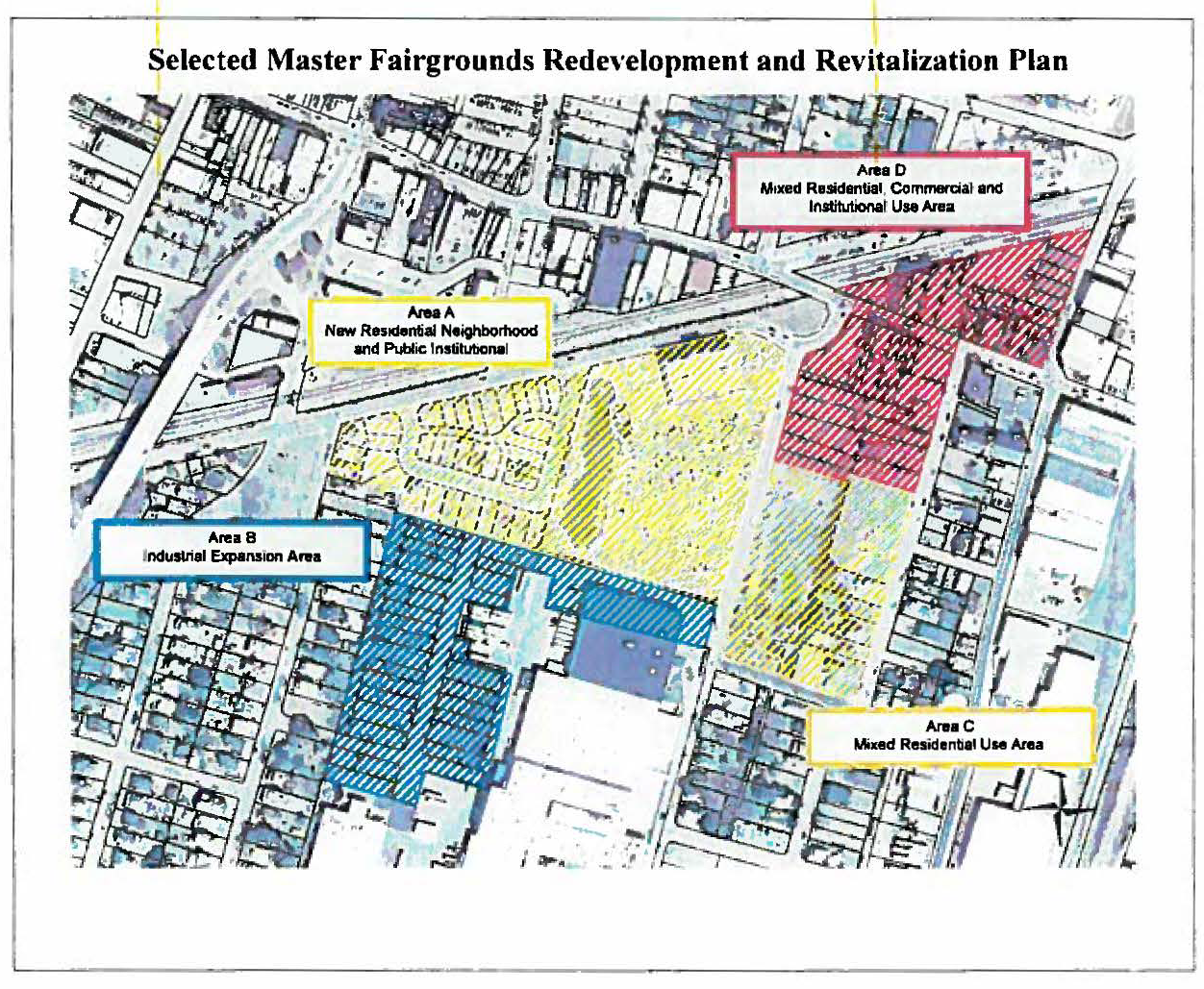
FRRD (FAIRGROUNDS REVITALIZATION AND REDEVELOPMENT DISTRICT). The FRRD implements the Fairgrounds Revitalization Plan and the Fairgrounds Redevelopment
Plan, as amended. It provides a mix of residential, commercial, and institutional
uses, mixed-use office, retail, commercial, entertainment, and residential uses within
structures, and public spaces of a quality type in accordance with the Fairgrounds
Master Redevelopment and Revitalization Plan, and to the extent practical the Conceptual
Master Development Plan and Conceptual Master Schematic Plan, as amended.
 | |
(b)
PURPOSE STATEMENT FOR FLOATING AND OVERLAY ZONING DISTRICTS. The overlay zones create special siting, use and compatibility issues which require regulations which prescribe use restrictions and development regulations in addition to those found in the underlying zoning districts. If any regulation in an overlay zoning district requires lower densities, greater setbacks, or otherwise imposes greater standards than those required by the base zoning district, the more restrictive standard applies. See Sections 31-410 through 31-417 for the purpose statements and regulations applicable to the floating and overlay zoning districts.
(Ord. No. 13-O-021, 2-20-2013; Ord. No. 15-O-128, § 1, 11-18-2015; Ord. No. 16-O-014, § 2(Exh. B), 2-17-2016; Ord. No. 25-O-053, § 2(Exh. B), 5-21-2025)