
Lake City City Zoning Code
Sec. 23-3
Zoning map.
(a)
The below 1988 revised zoning map of the town is hereby adopted:
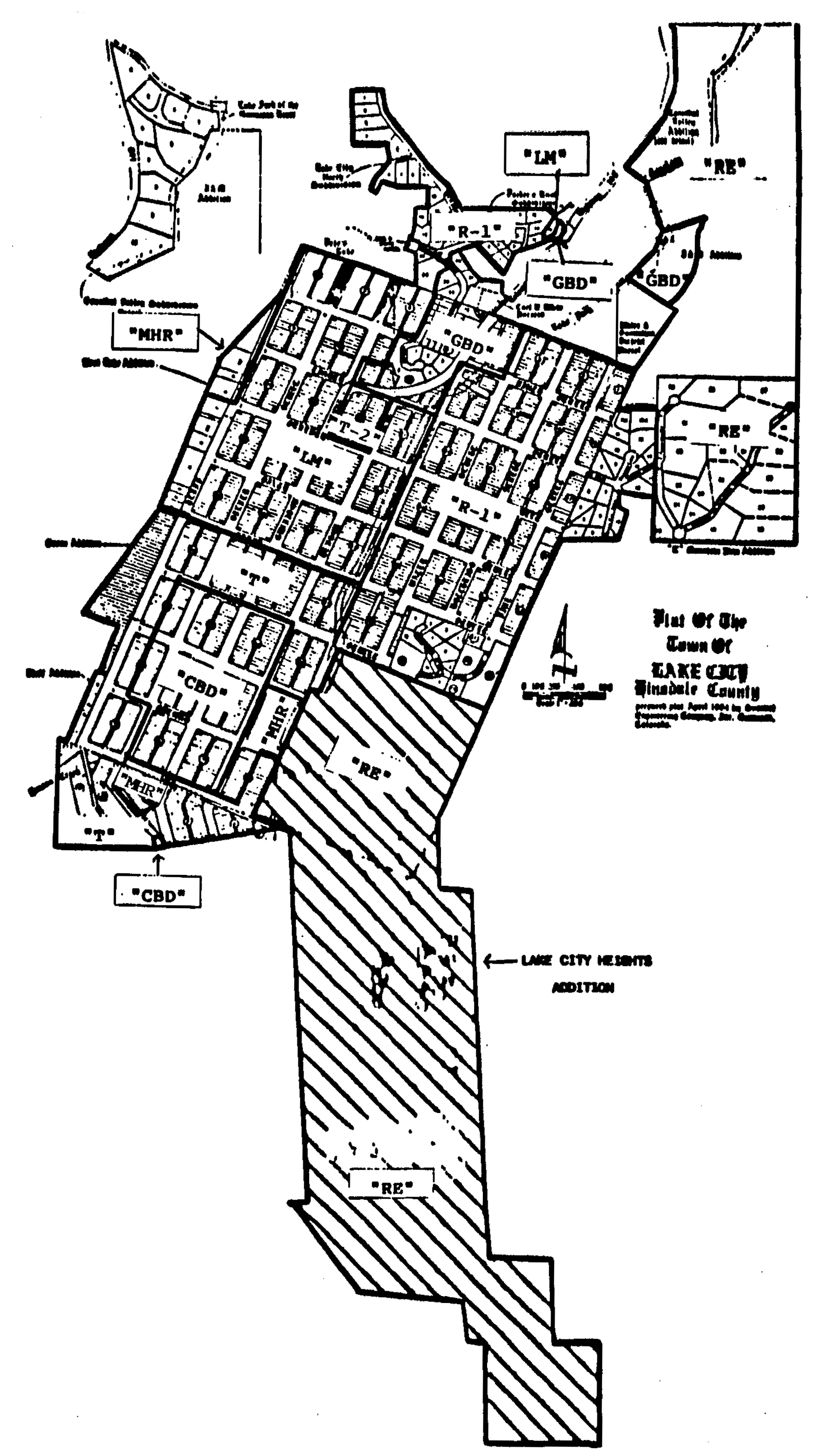
(b)
The 1988 revised zoning map of the town, as such may be amended from time to time, may be known or cited as the official zoning map of the town.
(c)
Amendments to the official zoning map may be made by an ordinance enacting a revised map or by an ordinance amending portions of the official zoning map by specifying the description of the property to be rezoned. A copy of the official zoning map, as amended from time to time, shall be maintained in the town clerk's office and is available for public inspection. Periodically, copies of the official zoning map, as amended, may be reproduced and made available to the public.
(d)
The regulations for the various districts provided for in this chapter shall apply within the boundaries of each such district as indicated on the official zoning map. The district boundaries, as shown on the official zoning map, shall be construed to follow the center lines of streets, to follow platted lot lines or the lines of undivided parcels of property, or to follow the town limits, whenever a boundary is shown as approximately in the vicinity of such lines. Distances may be determined by the scale of the map.
(Ord. No. 1988-1, §§ 1(15.8-3), 5, 7-13-1988)