


Over the past week our team has added and updated zoning maps for 161 Cities across 10 states in the United States. Zoning information is the foundation for intelligent real estate decisions - whether you're evaluating development potential for a property, confirming permitted uses, or planning future investments. We know that finding accurate zoning information can often be time-consuming and a fragmented process across municipalities.
Browse by State below and click on any city to visit their zoning map page and view zoning insights, including permitted land uses, development standards.
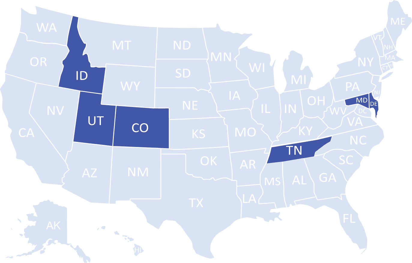
Colorado
- Basalt
- Bayfield
- Crested Butte
- Douglas County Unincorporated
- Edgewater
- Elbert County Unincorporated
- Elizabeth
- Florence
- Garfield County Unincorporated
- Grand County Unincorporated
- Green Mountain Falls
- Greenwood Village
- Gunnison County Unincorporated
- Hot Sulphur Springs
- Ignacio
- La Veta
- Lake City
- Leadville
- Minturn
- Monument
- Mount Crested Butte
- Mountain View
- Parachute
- Pitkin
- Silt
- Walsenburg
- Winter Park
Delaware
Idaho
Maryland
- Barnesville
- Berlin
- Brookeville
- Chestertown
- Chevy Chase Section Five
- Chevy Chase Section Three
- Chevy Chase View
- Chevy Chase Village
- College Park
- Delmar
- Friendsville
- Frostburg
- Gaithersburg
- Garrett Park
- Glen Echo
- Howard County Unincorporated
- Kensington
- Kent County Unincorporated
- Laytonsville
- Mardela Springs
- Martins Additions
- Middletown
- Millington
- Montgomery County Unincorporated
- North Chevy Chase
- Ocean City
- Perryville
- Pocomoke City
- Poolesville
- Port Deposit
- Port Tobacco Village
- Preston
- Queen Annes County Unincorporated
- Rising Sun
- Rock Hall
- Rockville
- Salisbury
- Snow Hill
- Somerset
- Takoma Park
- Thurmont
- Vienna
- Washington Grove
- Wicomico County Unincorporated
- Woodsboro
- Worcester County Unincorporated
Tennessee
Utah
- Alta
- Ballard
- Bear River City
- Box Elder County Unincorporated
- Brighton
- Centerfield
- Daniel
- Duchesne
- Duchesne County Unincorporated
- Emery County Unincoporated
- Ephraim
- Erda
- Eureka
- Fairview
- Farmington
- Francis
- Garfield County Unincorporated
- Glendale
- Grand County Unincorporated
- Gunnison
- Henefer
- Hildale
- Kanab
- Kane County Unincorporated
- Kaysville
- Layton City
- Leeds
- Levan
- Logan
- Manti
- Moab
- Mona
- Monroe
- Morgan
- Mount Pleasant
- Myton
- Naples
- Nephi
- New Harmony
- North Logan
- Oakley
- Parowan
- Piute County Unincorporated
- Plain City
- Rich County Unincorporated
- Richfield
- Salina
- San Juan County Unincorporated
- South Salt Lake City
- Stockton
- Summit County Unincorporated
- Tooele
- Tropic
- Virgin
- Woods Cross
Zoneomics makes zoning data accessible, searchable, and ready for analysis—across thousands of U.S. cities. Explore the platform or reach out to our team for enterprise support.