
Keller City Zoning Code
ARTICLE Eleven
APPENDICES1
Editor's note— The appendices to this Code may be changed from time to time without amending this Code. Ord. No. 2104, adopted Dec. 6, 2022, renumbered and reorganized Article Nine, §§ 9.01, 9.05 and 9.06 as Article Eleven, §§ 11.01—11.03. Historical Notations have been retained.
Section 11.01 - Application Forms
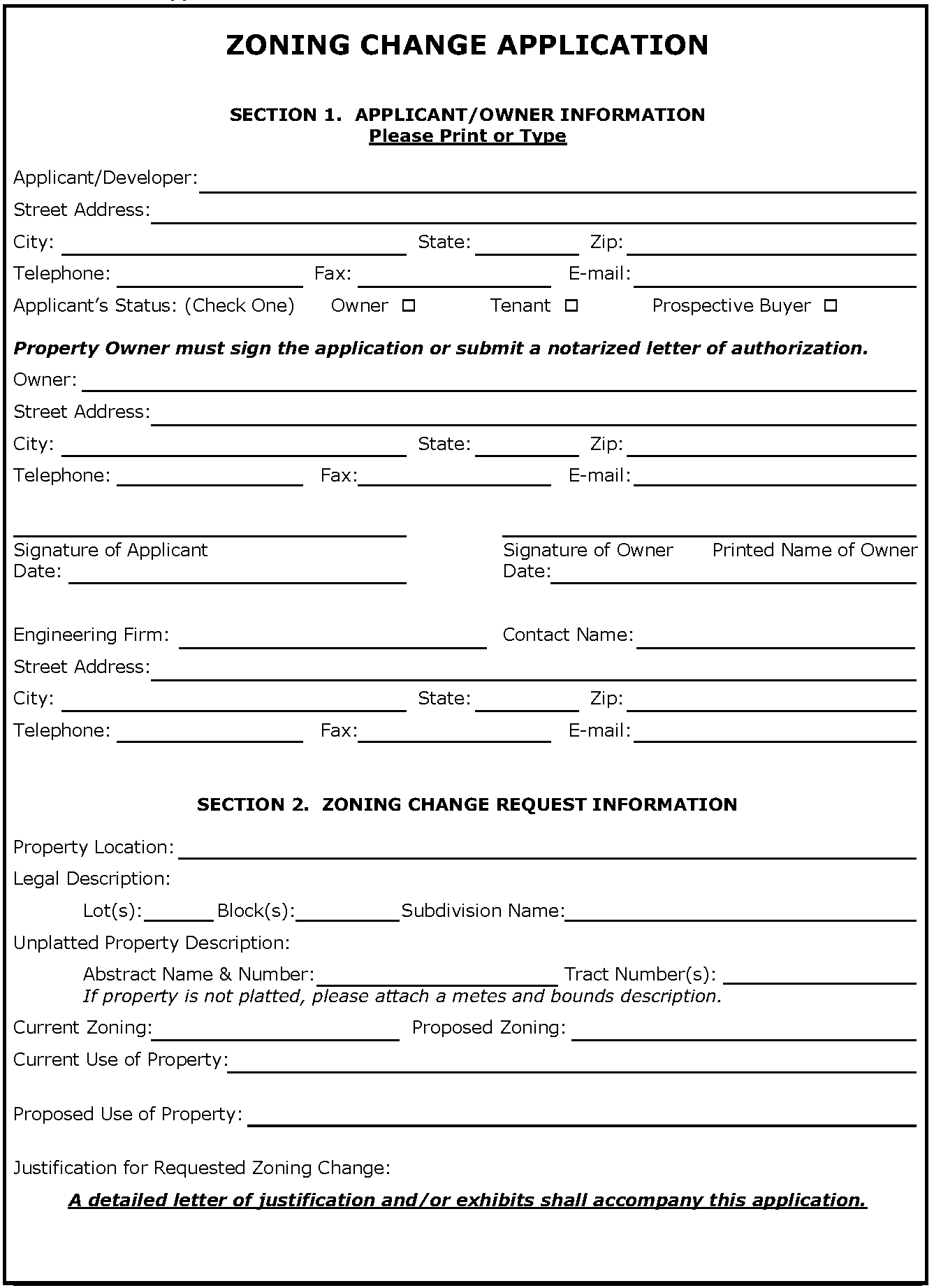
ZONING CHANGE APPLICATION
SECTION 3. CHECKLIST
(Please provide each of the items below & initial next to each item or write N/A)
□ The application fee
□ Seven (7) 22" x 34" or 24" x 36" copies are needed, collated and folded to 9" x 12" paper size; electronic copy is recommended upon submittal date.
□ A narrative statement that includes:
• Current and proposed zoning or use
• A statement of the need for the proposed zoning change
• Compatibility of proposed zoning with surrounding zoning and land uses.
• Descriptions that show in what ways the proposal is consistent with the City's Master Plan.
• You may also choose to address the decision criteria on with the Planning and Zoning Commission and City Council will base their decision.
1)
Whether the uses permitted by the proposed change will be appropriate in the immediate area concerned and their relationship to the general area and the City as a whole, and in compliance with the Future Land Use Plan.
2)
Whether the proposed change is in accord with any existing or proposed plans for providing streets, water supply, sanitary sewers, and other utilities to the area, and shall note the findings.
3)
The amount of vacant land currently classified for similar development in the vicinity and elsewhere in the City, and any special circumstances which may make a substantial part of such vacant land unavailable for development.
4)
The recent rate at which land is being developed in the same zoning classification as the request, particularly in the vicinity of the proposed change.
5)
How other areas designated for similar development will be, or are unlikely to be, affected if the proposed amendment is approved.
6)
Any other factors which will substantially affect the health, safety, morals, or general welfare.
□ A metes and bounds description of the property to be rezoned sealed by a surveyor.
□ A 24" by 36" scaled exhibit showing the subject property with metes and bounds labels and important physical features such as existing structures, topography, roadways, or creeks.
□ A 24" by 36" aerial exhibit of the subject property showing the locations of trees in accordance with Section 10.01.
□ Any drawings the applicant considers necessary to demonstrate the case for rezoning. Drawings of the site should to scale.
□ Evidence of communicating the proposal with the adjacent neighborhood
□ Additional information or drawings, operations data, or expert evaluation when considering the application, including traffic studies and drainage studies as required by the Development Review Committee
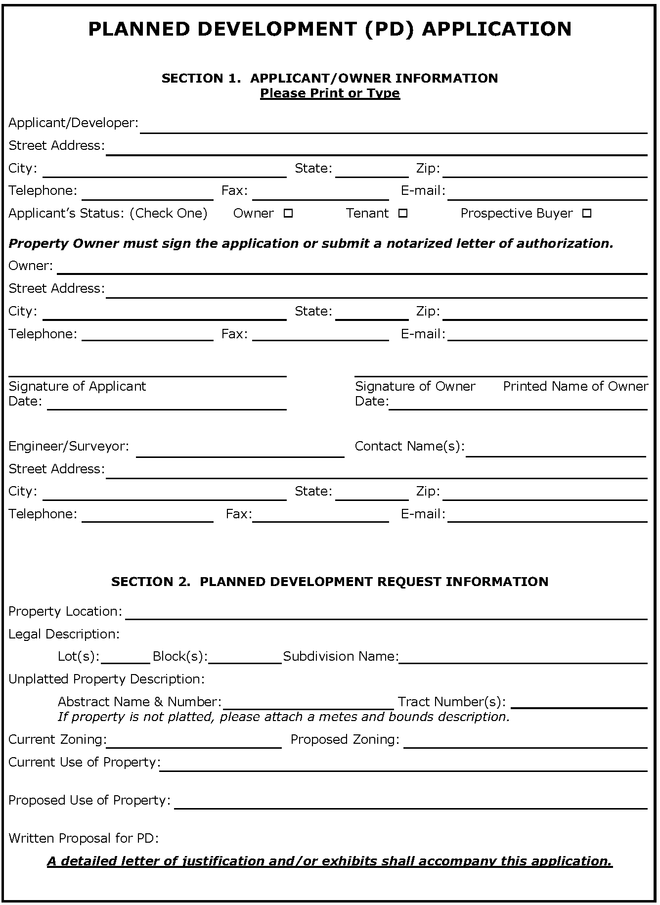
PLANNED DEVELOPMENT CHANGE APPLICATION
SECTION 3. CHECKLIST
(Please provide each of the items below & initial next to each item)
□ The application fee
□ Seven (7) 22" x 34" or 24" x 36" copies are needed, collated and folded to 9" x 12" paper size; electronic copy is recommended upon submittal date.
□ A narrative statement that includes:
• Current and proposed base zoning district
• Description of concept plan
• A statement of the need for the proposed zoning change
• Compatibility of proposed zoning with surrounding zoning and land uses.
• Descriptions that show in what ways the proposal is consistent with the City's Master Plan.
• You may also choose to address the decision criteria on with the Planning and Zoning Commission and City Council will base their decision.
1)
Whether the uses permitted by the proposed change will be appropriate in the immediate area concerned and their relationship to the general area and the City as a whole, and in compliance with the Future Land Use Plan.
2)
Whether the proposed change is in accord with any existing or proposed plans for providing streets, water supply, sanitary sewers, and other utilities to the area, and shall note the findings.
3)
The amount of vacant land currently classified for similar development in the vicinity and elsewhere in the City, and any special circumstances which may make a substantial part of such vacant land unavailable for development.
4)
The recent rate at which land is being developed in the same zoning classification as the request, particularly in the vicinity of the proposed change.
5)
How other areas designated for similar development will be, or are unlikely to be, affected if the proposed amendment is approved.
6)
Any other factors which will substantially affect the health, safety, morals, or general welfare
□ List of proposed development standards including, but not be limited to:
• Permitted uses,
• density, lot area, lot width, lot depth, yard depths and widths,
• building elevations, building material coverage, and building height,
• floor area ratio,
• parking ratios and parking locations,
• access points,
• screening and landscaping,
• accessory buildings,
• signs,
• lighting,
• hours of operation,
• project phasing or scheduling,
• management associations, and
• any other requirements.
□ A metes and bounds description of the property to be rezoned sealed by a surveyor.
□ An 24" by 36" aerial exhibit of the subject property showing the locations of trees in accordance with Section 10.01
□ Existing Conditions Exhibit. This 24" by 36" exhibit shall show the boundary of PD area with metes and bounds labels and important physical features such as existing structures, topography, existing streets, alleys and easements general use, thoroughfares.
□ Concept Plan. The plan shall be to scale, 24" by 36" in size, and show the following:
• the boundary of PD area with metes and bounds labels
• preliminary lot arrangements,
• access, proposed streets and thoroughfares,
• size, type and location of buildings with building density, building height,
• fire lanes,
• screening, landscaped areas/plans,
• other pertinent development data.
□ Evidence of communicating the proposal with the adjacent neighborhood
□ Trip Generation Form and, if required per Section 5.03, a Traffic Impact Analysis
□ Additional information or drawings, operations data, or expert evaluation when considering the application, including traffic studies and drainage studies as required by the Development Review Committee
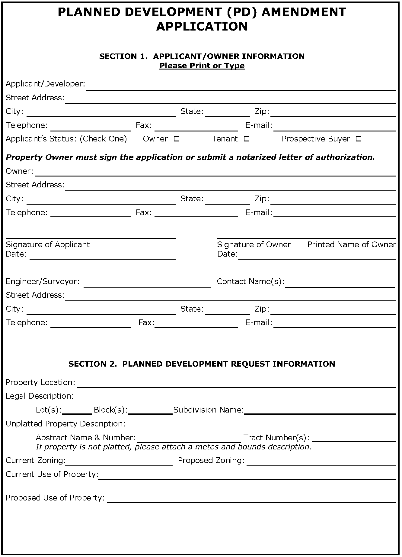
PLANNED DEVELOPMENT (PD) AMENDMENT APPLICATION
SECTION 3. CHECKLIST
(Please provide each of the items below & initial next to each item)
□ The application fee
□ Seven (7) 22" x 34" or 24" x 36" copies are needed, collated and folded to 9" x 12" paper size; electronic copy is recommended upon submittal date.
□ A narrative statement that includes:
• Current and proposed base zoning district
• Description of concept plan
• A statement of the need for the proposed zoning change
• Compatibility of proposed zoning with surrounding zoning and land uses.
• Descriptions that show in what ways the proposal is consistent with the City's Master Plan.
• You may also choose to address the decision criteria on with the Planning and Zoning Commission and City Council will base their decision.
1)
Whether the uses permitted by the proposed change will be appropriate in the immediate area concerned and their relationship to the general area and the City as a whole, and in compliance with the Future Land Use Plan.
2)
Whether the proposed change is in accord with any existing or proposed plans for providing streets, water supply, sanitary sewers, and other utilities to the area, and shall note the findings.
3)
The amount of vacant land currently classified for similar development in the vicinity and elsewhere in the City, and any special circumstances which may make a substantial part of such vacant land unavailable for development.
4)
The recent rate at which land is being developed in the same zoning classification as the request, particularly in the vicinity of the proposed change.
5)
How other areas designated for similar development will be, or are unlikely to be, affected if the proposed amendment is approved.
6)
Any other factors which will substantially affect the health, safety, morals, or general welfare
□ List of proposed development standards including, but not be limited to:
• Permitted uses,
• density, lot area, lot width, lot depth, yard depths and widths,
• building elevations, building material coverage, and building height,
• floor area ratio,
• parking ratios and parking locations,
• access points,
• screening and landscaping,
• accessory buildings,
• signs,
• lighting,
• hours of operation,
• project phasing or scheduling,
• management associations, and
• any other requirements.
□ A metes and bounds description of the property to be rezoned sealed by a surveyor.
□ An 24" by 36" aerial exhibit of the subject property showing the locations of trees in accordance with Section 10.01
□ Existing Conditions Exhibit. This 24" by 36" exhibit shall show the boundary of PD area with metes and bounds labels and important physical features such as existing structures, topography, existing streets, alleys and easements general use, thoroughfares.
□ Concept Plan. The plan shall be to scale, 24" by 36" in size, and show the following:
• the boundary of PD area with metes and bounds labels
• preliminary lot arrangements,
• access, proposed streets and thoroughfares,
• size, type and location of buildings with building density, building height,
• fire lanes,
• screening, landscaped areas/plans,
• other pertinent development data.
□ Evidence of communicating the proposal with the adjacent neighborhood
□ Trip Generation Form and, if required per Section 5.03, a Traffic Impact Analysis
□ Additional information or drawings, operations data, or expert evaluation when considering the application, including traffic studies and drainage studies as required by the Development Review Committee
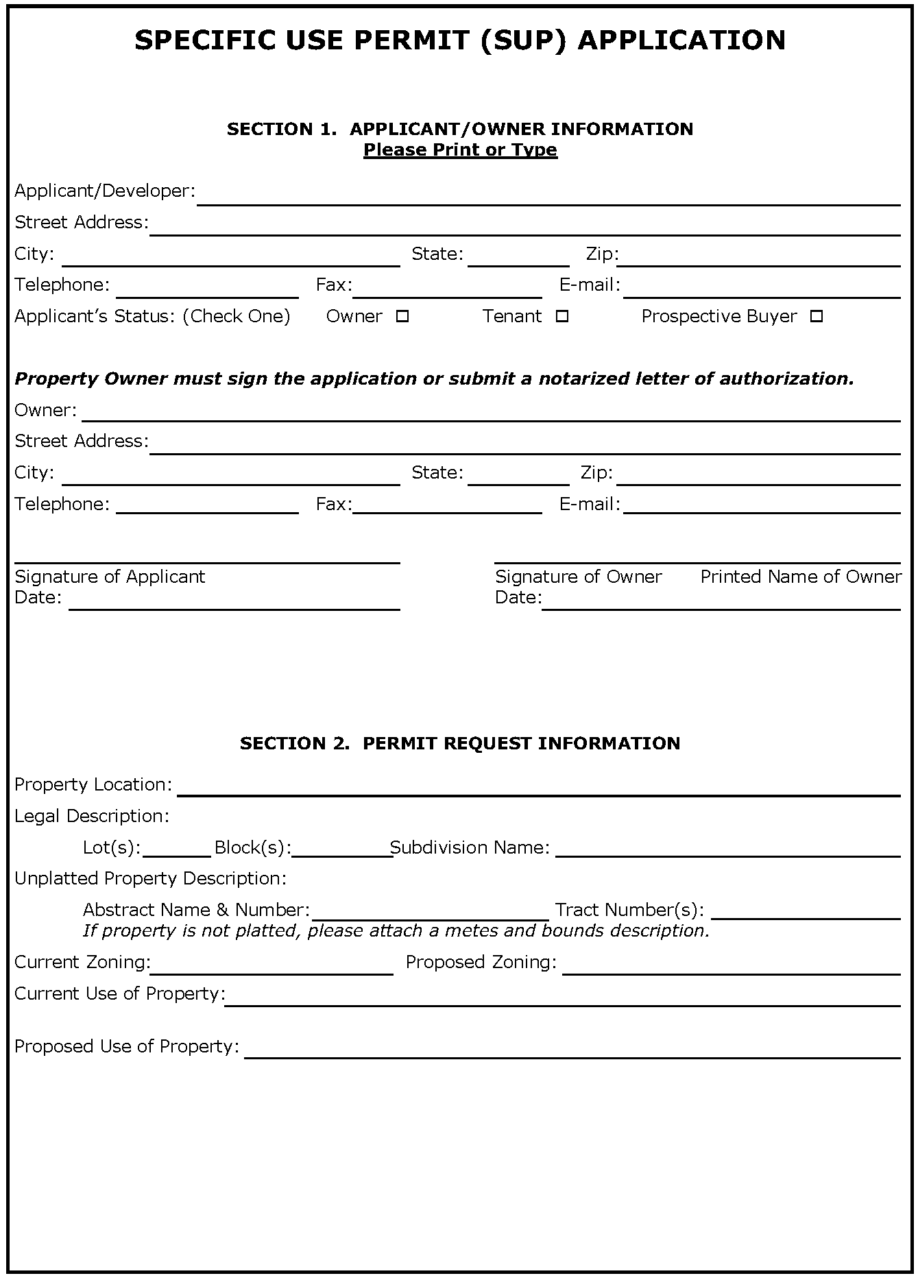
SPECIFIC USE PERMIT (SUP) APPLICATION
SECTION 3. CHECKLIST
(Please provide each of the items below & initial next to each item)
□ The application fee
□ Seven (7) 22" x 34" or 24" x 36" copies are needed, collated and folded to 9" x 12" paper size; electronic copy is recommended upon submittal date.
□ A written proposal outlining all special conditions and additional requirements for the property controlled by the SUP, including but not limited to:
• the paving of streets, alleys and sidewalks,
• means of ingress and egress to public streets,
• provisions for drainage,
• adequate off-street parking,
• screening and open space,
• heights of structures,
• compatibility of buildings,
• hours of operation, and
• time limits.
• A letter justifying the request and addressing the decision criteria on with the Planning and Zoning Commission and City Council will base their decision.
1)
The use is harmonious and compatible with surrounding existing uses or proposed uses;
2)
The activities requested by the applicant are normally associated with the permitted uses in the base district;
3)
The nature of the use is reasonable and appropriate in the immediate area;
4)
Any negative impact on the surrounding area has been mitigated; and
5)
That any additional conditions specified ensure that the intent of the district purposes are being upheld.
□ A legal description or meets and bounds description of the property.
□ Concept Plan. The plan shall be to scale and show the following:
• topography,
• and boundary of SUP area;
• physical features of the site;
• existing streets, alleys and easements;
• location of future public facilities;
• parking ratios, the final Detailed Site Plan;
• building height and location, elevations;
• site landscaping;
• off-street parking facilities;
• size, height, construction materials, and locations of buildings and the uses to be permitted;
• location and instruction of signs;
• means of ingress and egress to public streets;
• the type of visual screening such as walls, plantings and fences;
• the relationship of the intended use to all existing properties and land uses in all directions to a minimum distance of two hundred feet (200') and;
• other information to adequately describe the proposed development and to provide data for approval.
□ Evidence of communicating the proposal with the adjacent neighborhood
□ Trip Generation Form and, if required per Section 5.03, Traffic Impact Analysis
□ Additional information or drawings, operations data, or expert evaluation when considering the application, including traffic studies and drainage studies as required by the Development Review Committee.
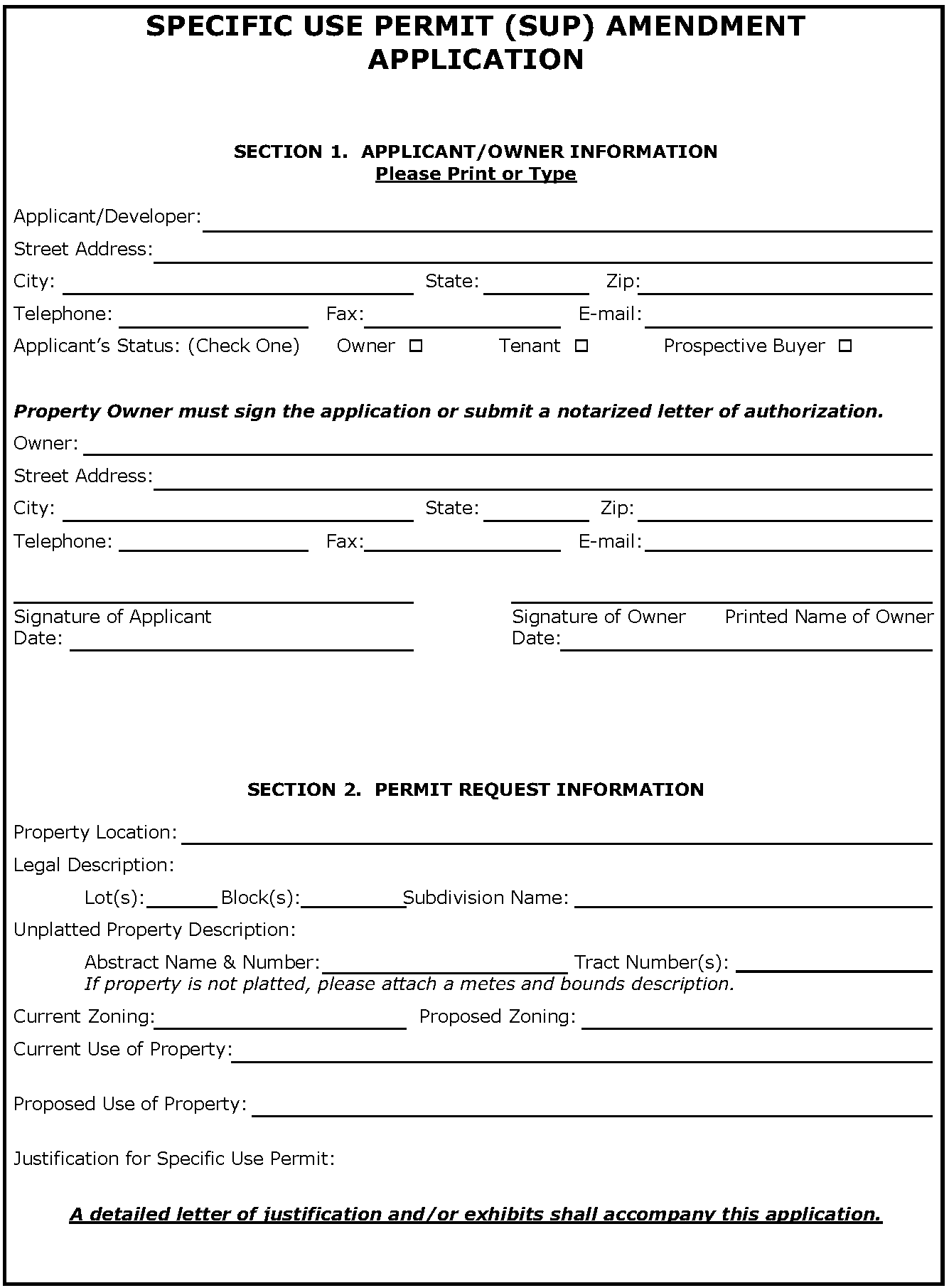
SPECIFIC USE PERMIT (SUP) AMENDMENT APPLICATION
SECTION 3. CHECKLIST
(Please provide each of the items below & initial next to each item)
□ The application fee
□ Seven (7) 22" x 34" or 24" x 36" copies are needed, collated and folded to 9" x 12" paper size; electronic copy is recommended upon submittal date.
□ A written proposal outlining all special conditions and additional requirements for the property controlled by the SUP, including but not limited to:
• the paving of streets, alleys and sidewalks,
• means of ingress and egress to public streets,
• provisions for drainage,
• adequate off-street parking,
• screening and open space,
• heights of structures,
• compatibility of buildings,
• hours of operation, and
• time limits.
• A letter justifying the request and addressing the decision criteria on with the Planning and Zoning Commission and City Council will base their decision.
1)
The use is harmonious and compatible with surrounding existing uses or proposed uses;
2)
The activities requested by the applicant are normally associated with the permitted uses in the base district;
3)
The nature of the use is reasonable and appropriate in the immediate area;
4)
Any negative impact on the surrounding area has been mitigated; and
5)
That any additional conditions specified ensure that the intent of the district purposes are being upheld.
□ A legal description or meets and bounds description of the property.
□ Concept Plan. The plan shall be to scale and show the following:
• topography,
• and boundary of SUP area;
• physical features of the site;
• existing streets, alleys and easements;
• location of future public facilities;
• parking ratios, the final Detailed Site Plan;
• building height and location, elevations;
• site landscaping;
• off-street parking facilities;
• size, height, construction materials, and locations of buildings and the uses to be permitted;
• location and instruction of signs;
• means of ingress and egress to public streets;
• the type of visual screening such as walls, plantings and fences;
• the relationship of the intended use to all existing properties and land uses in all directions to a minimum distance of two hundred feet (200') and;
• other information to adequately describe the proposed development and to provide data for approval.
□ Evidence of communicating the proposal with the adjacent neighborhood
□ Trip Generation Form and, if required per Section 5.03, Traffic Impact Analysis
□ Additional information or drawings, operations data, or expert evaluation when considering the application, including traffic studies and drainage studies as required by the Development Review Committee.
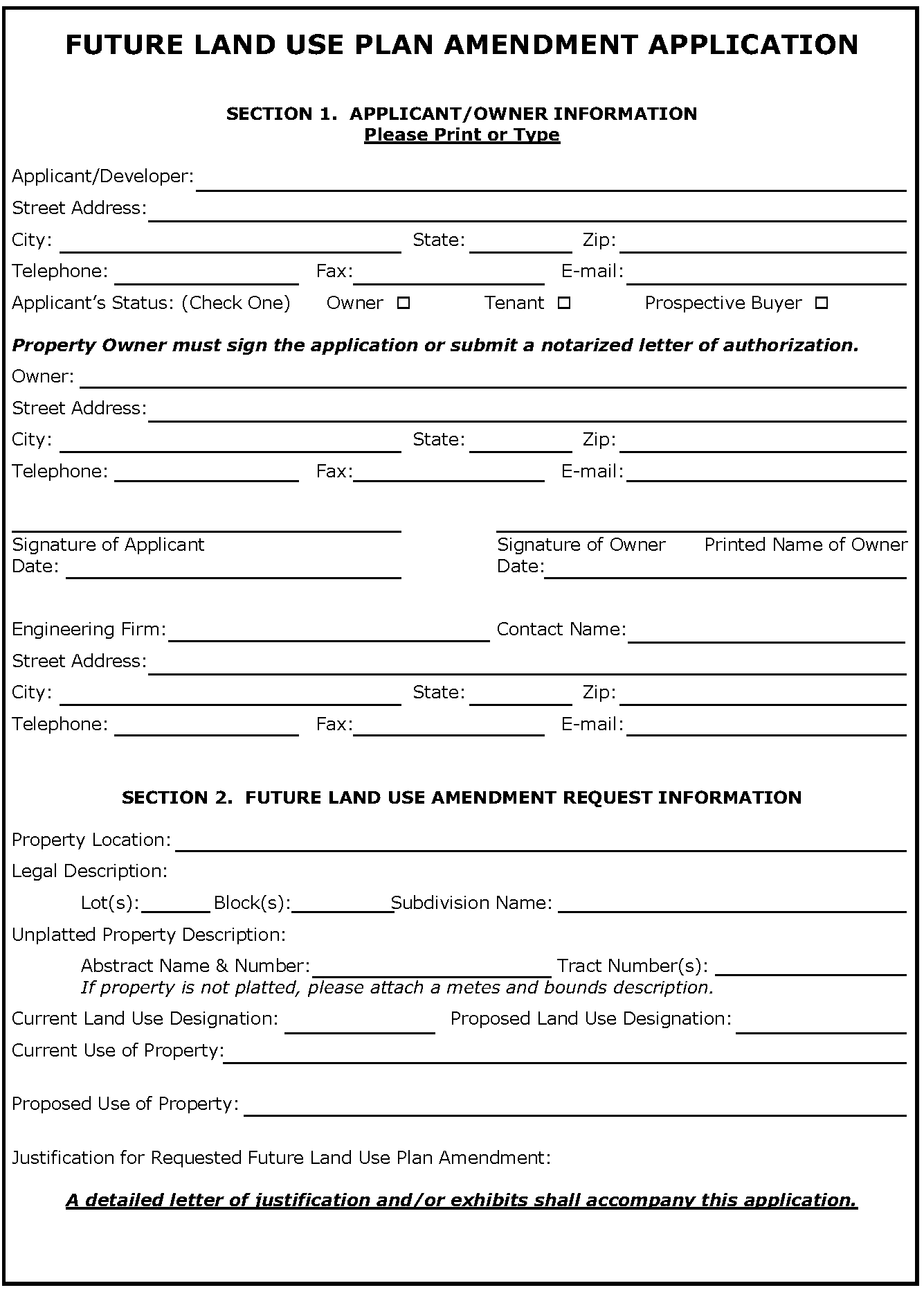
FUTURE LAND USE PLAN AMENDMENT APPLICATION
SECTION 3. CHECKLIST
(Please provide each of the items below & initial next to each item)
□ The application fee
□ Seven (7) 22" x 34" or 24" x 36" copies are needed, collated and folded to 9" x 12" paper size; electronic copy is recommended upon submittal date.
□ A letter justifying the request and why the chosen category better suites the needs of the area. Include information on:
• Compatibility with adjacent developments or Future Land Use Plan designations
• Availability of city services including water, sewer, and roads,
• Anticipated impacts on city services.
□ A legal description or meets and bounds description of the property.
□ Exhibit showing to scale the area proposed to be amended on the suture land use plan with adjacent Future Land Use Plan and Zoning Designations labeled.
□ Evidence of communicating the proposal with the adjacent neighborhood or property owners.
□ Additional information or drawings, operations data, or expert evaluation when considering the application, including traffic studies and drainage studies as required by the Development Review Committee.

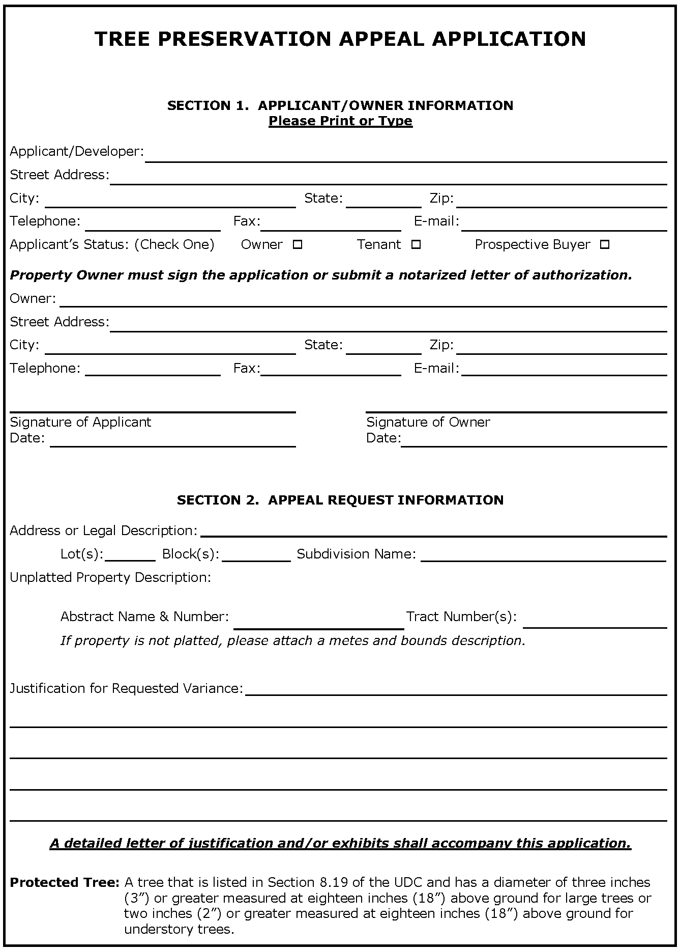
TREE PRESERVATION APPEAL APPLICATION
SECTION 3. CHECKLIST
(Please provide each of the items below & initial next to each item)
□ The application fee
□ Seven (7) 22" x 34" or 24" x 36" copies are needed, collated and folded to 9" x 12" paper size; electronic copy is recommended upon submittal date.
□ Grading plan showing current topography and proposed final grading.
□ Erosion control plan. In addition to other measures an erosion control seeded mat shall be placed over all graded areas to remain unimproved for more than five (5) calendar days post grading
□ Tree Removal Plan Exhibit
• Show property, lots, building pad sites, and easements
• Show all existing protected trees color coded to show:
• trees being removed and exempt due to locations in a building pad, utility easement or Right-of-Way;
• trees being removed and not exempt; and
• trees preserved.
• Contains charts showing every tree by lot with
• Tree ID Number
• Caliper of tree(s)
• Tree Species (both the common and Latin name)
• Health of Tree (ie, healthy, diseased, dead)
• Location (Building pad, easement, lot, landscape buffer, etc.)
• List tree to be 'Preserved' or 'Removed'
• List if mitigation is required. Once exempt trees are counted 20% percent of remaining trees may be removed and are exempt from mitigation
• Summary table
• Total number of trees and caliper inches on site
• Total number of trees and caliper inches to be removed
• Total number of trees and caliper inches that must be mitigated
• Explanation on how mitigation will be provided.
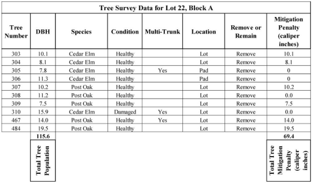
Example Tree Preservation Plan Table (missing Latin name):
PRELIMINARY SITE EVALUATION APPLICATION
SECTION 3. CHECKLIST
(Please provide each of the items below & initial next to each item)
□ The application fee
□ Five (5) 24" x 36" copies of the Preliminary Site Evaluation and five (5) 22" x 34" copies Proposed Utility and Drainage Plans, collated and folded to 9" x 12" paper size; electronic copy is recommended upon submittal date.
□ For all single-family residential subdivisions, a plan summary table to include:
• Total number of lots.
• Number of lots per zoning category.
• Total acreage per phase.
• Number of lots per phase.
• Minimum lot size.
• Minimum dwelling unit size.
• Density per acre.
□ Title block (see Article Nine - Title Blocks Formats) in lower right hand corner of plat to include:
• Project's name.
• Address and/or legal description of the project, total number of lots and/or phases, total acreage, and zoning.
• Name, address, and telephone number of the applicant.
• Name, address, and telephone number of contact person of the developer.
• Name, address and telephone number of the preparer (Engineer).
• Date of preparation and dates of revisions, if any (As plats are revised, add dates of revision to each submittal).
□ Graphic Scale labeled with scale used.
□ North arrow oriented to the top or right of the sheet.
□ Vicinity map of the City Base Map with scale of 1" = 1000' with site location shaded.
□ Length and bearing of all straight lines; radii, arc length, tangent length, and central angles of all curves, indicated along the lines of each lot or in tables.
□ Diagram of a typical corner clip and visibility easement.
□ Cross-section of proposed streets and alleys, showing the width and type of pavement and the location and width of sidewalks.
□ Park Dedication requirements.
□ A list of requested variances from development requirements, if applicable.
□ Signature block labeled: "Preliminary Site Evaluation Approved by the City of Keller Planning and Zoning Commission for the Preparation of a Final Plat" or, if variances are requested, "Preliminary Site Evaluation Approved by the City of Keller City Council for the Preparation of a Final Plat" (see Article Nine - Signature Blocks for Plats)
□ Names and boundary lines of abstracts and surveys of the land being platted.
□ Description and location of all survey monuments placed or found.
□ Lines delineating the proposed phases of development, if applicable.
□ Property lines, including lot and block numbers and date recorded if applicable, of land within the area being platted.
□ The layout and approximate dimensions of proposed lots and blocks, with:
• Front building setback lines and a note that reads, "All setbacks shall be in accordance with the zoning district, as described in the Keller Unified Development Code."
• Lot number and block letter designations.
• Acreage or square footage of each lot.
• Proposed use.
□ Existing and/or proposed streets and alleys, showing proposed street names and the widths of right-of-way and pavement. Where a development abuts a street shown on the City's Thoroughfare Plan, the Preliminary Plat shall include a proposed dedication of right-of-way in accordance with the requirements of the Thoroughfare Plan.
□ Median openings, turning lanes, acceleration lanes, deceleration lanes, and proposed driveway locations with dimensions.
□ Traffic control signals, devices, and striping, if applicable.
□ Other features that impact the land being platted - including, but not limited to, buildings, cemeteries, parks, landfills, and monuments.
□ Easements, deed restrictions, or other encumbrances that impact development of the property.
□ Names and recording information of adjoining subdivisions, municipalities, counties, special districts, and parcels of unsubdivided land, including:
• Names of owners of record.
• Boundary lines.
• Zoning designations.
• Names and accurate location of all adjacent streets.
• Dimensions of all abutting lots.
• Reference ties to courses and distances of at least one recognized land corner.
• Easements on all abutting lots.
□ Land proposed for dedication to public use, or for reservation for the common use of property owners, including parks and linear trails, labeled with a separate lot and block designation. Also include a list of the conditions of or limitations on the use of this land.
□ Drainage Plan sheet showing existing and proposed systems, including:
• Description of the extent to which any watercourse or natural drainage will be altered or relocated as a result of the proposed development.
• Location of lines and inlets.
• Location of all existing and proposed utility and/or drainage easements, or right-of-way and detention/retention structures.
• Proposed drainage rights-of-way.
• Delineation of the 100-year floodplain, if applicable.
• Easements, deed restrictions, or other encumbrances that impact development of the property.
• Contours at intervals of two feet (2') or less, referred to the latest USC or GS sea level datum, including benchmark.
□ Utility Plan sheet showing existing and proposed systems, including:
• Location and size of all existing and proposed water systems and sanitary sewer lines shown for the distance which impacts the land being platted.
• Location and size of other existing and/or proposed utility lines which may impact the land development.
• Identification of proposed lots that will be served by septic tanks, if applicable.
• Easements, deed restrictions, or other encumbrances that impact development of the property.
□ Arial photo with overlay of plan in accordance with Article Eight - Tree Preservation, as applicable.
□ UDC Variance Request as described in Section 2.08 - Procedures for Variances from the Regulations of the Code, if applicable.
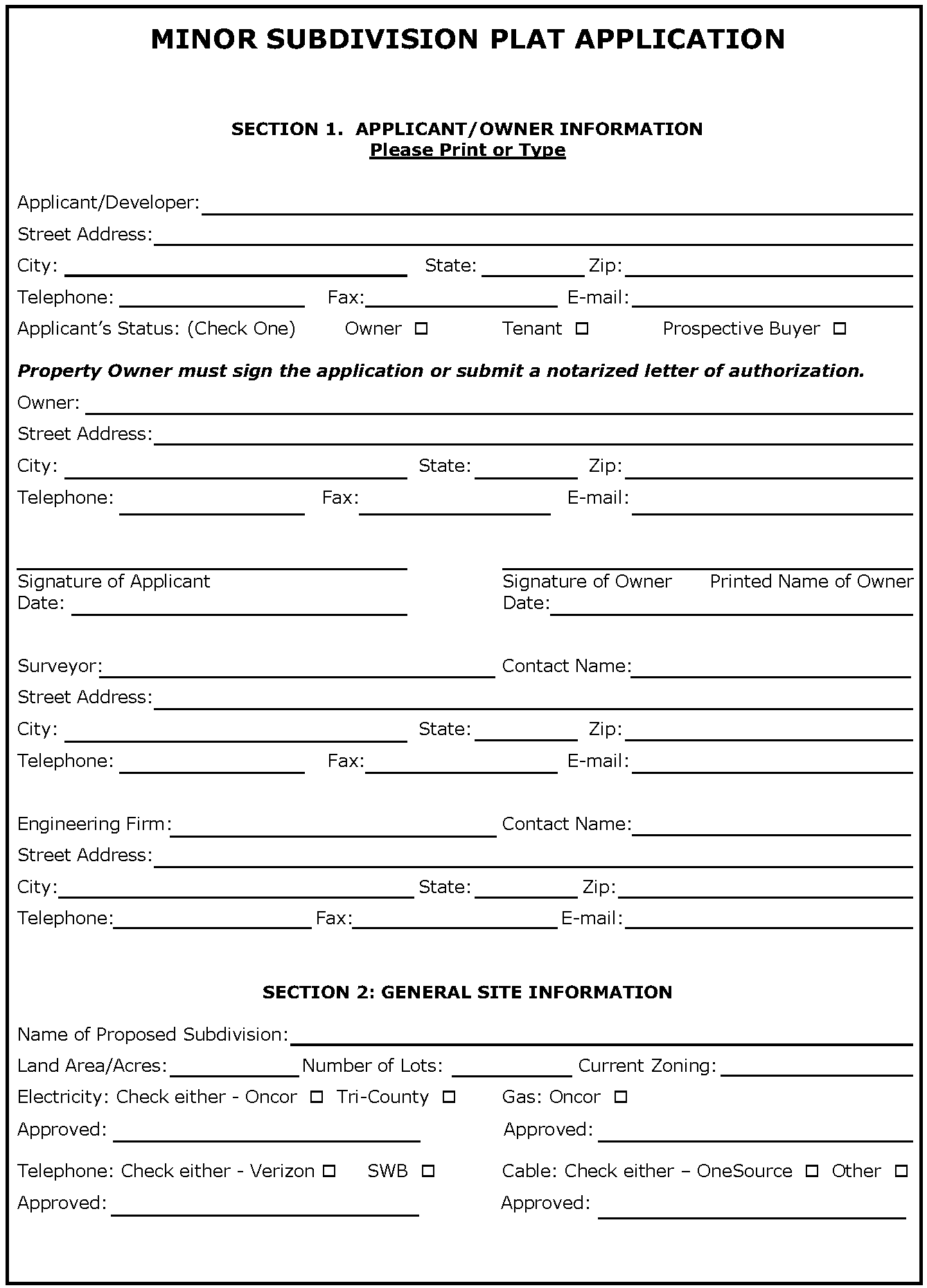
MINOR SUBDIVISION PLAT APPLICATION
SECTION 3. CHECKLIST
(Please provide each of the items below & initial next to each item)
□ The application fee
□ Seven (7) 24" x 36" copies are needed, collated and folded to 9" x 12" paper size; electronic copy is recommended upon submittal date.
Plat sheet at 24" by 36" and containing the following information:
□ Title Block (see Article Nine - Title Blocks Formats) in lower right hand corner of plat to include:
• Project's name.
• Address and/or legal description of the project, total number of lots and/or phases, total acreage and zoning.
• Name, address, and telephone number of the applicant.
• Name, address, and telephone number of contact person of the developer.
• Name, address, and telephone number of the preparer (Surveyor).
• Date of preparation and dates of revisions, if any (As plats are revised, add dates of revision to each submittal).
□ For all single-family residential subdivisions, a plan summary table to include:
• Total number of lots.
• Number of lots per zoning category.
• Total acreage per phase.
• Number of lots per phase.
• Minimum lot size.
• Minimum dwelling unit size.
• Density per acre.
□ Graphic Scale labeled with scale used.
□ North arrow oriented to the top or right of the sheet.
□ Map of the City Base Map with scale of 1"=1000' with site location shaded
□ Length and bearing of all straight lines; radii, arc length, tangent length, and central angles of all curves, indicated along the lines of each lot or in tables.
□ Diagram of a typical corner clip and visibility easement.
□ Park Dedication requirements.
□ A list of variances from development requirements, if applicable.
□ Signature block labeled: "Approved by the City of Keller Community Development Department" or if variance is requested "Approved by the City of Keller City Council" (see Article Nine - Signature Blocks for Plats).
□ The following statement when City sewer will not be utilized: "This subdivision is subject to all of the terms and conditions of Tarrant County Commissioner Court Order Number 42703 (Sewage Regulations). Prior to the issuance of a building permit, a license must be obtained by the owner for any private sewage facility (septic tank or aerobic system) to be constructed in the subdivision. A sewage disposal plan will be filed with Tarrant County and areas suitable for septic tanks or aerobic systems will be defined."
□ An Owner's Certificate, see section 4.07 of the UDC for language.
□ Notary Public's Certificate with a signature line, see section 4.07 of the UDC for language.
□ Surveyor's Certificate with a signature line, see section 4.07 of the UDC for language.
□ Names and boundary lines of abstracts and surveys of the land being platted.
□ Lines delineating the proposed phases of development, if applicable.
□ The layout and exact dimensions of proposed lots and blocks, with:
• Front building setback lines and a note that reads, "All setbacks shall be in accordance with the zoning district, as described in the Keller Unified Development Code."
• Lot number and block letter designations.
• Acreage or square footage of each lot and minimum finished floor elevation (minimum finished floor elevation is required only if lot is located within 100-year floodplain or near natural drainage feature).
□ Land proposed for dedication to public use or for reservation for the common use of property owners, labeled with a separate lot and block designation. Also include a list of the conditions of or limitations on the use of this land.
□ Deed restrictions or other encumbrances that impact development of the property.
□ Rights-of-way and public property to be abandoned should be identified on the plat, but information is to be provided separately for the creation of an abandonment certificate (see Section 4.11).
□ Existing and/or proposed streets and alleys, showing street names and the widths of rights-of-way and pavement. Where a development abuts a street shown on the City's Thoroughfare Plan, the Final Plat must include the dedication of rights-of-way in accordance with the requirements of the Thoroughfare Plan.
□ Location and size of all existing and proposed utility, access, and/or drainage easements for electric, telephone, gas, cable, and solid waste disposal, with a note regarding responsibility for maintenance.
□ Delineation of the 100-year floodplain, if applicable.
□ Names and recording information of adjoining subdivisions, municipalities, counties, special districts, and parcels of unsubdivided land, including:
• Names of owners of record.
• Boundary lines.
• Zoning designations.
• Names and accurate location of all adjacent streets.
• Dimensions of all abutting lots.
• Reference ties to courses and distances of at least one recognized land corner.
Other Documents
□ Exhibit of Existing Conditions sheet showing existing and proposed systems, including:
• Location of all existing above-ground structures, driveways, sheds, fences, etc., if applicable.
• Location and size of all existing and proposed utility, access, and/or drainage easements, with a note regarding responsibility for maintenance.
• Location and size of all other utilities existing and/or proposed, underground or overhead, including private transmission lines.
• Location and size of all public and private service lines and meters for water and sanitary sewer or septic tanks, if applicable.
• Location and distance of nearest existing fire hydrant.
• Proposed grading, and a description of the extent to which any watercourse or natural drainage will be altered or relocated as a result of the proposed development.
• Delineation of the 100-year floodplain, if applicable.
□ A drainage study shall be provided for each development in accordance with Article Five - Design and Technical Construction Standards (DTCS). The study shall be provided to ensure that all upstream and downstream watershed components are accounted for and will not be adversely impacted. The study shall include a pre-development versus post development runoff analysis and a storm water runoff routing analysis designed to predict the post development runoff rate and the downstream drainage system ability to accommodate post development runoff.
□ Tree survey and aerial photo with overlay of plan in accordance with Article Eight - Tree Preservation, as applicable.
□ UDC Variance Request as described in Section 2.08 - Procedures for Variances from the Regulations of the Code, if applicable
□ The Planning Manager, Planning and Zoning Commission, or City Council may require additional information or drawings, operations data, or expert evaluation when considering the application, including traffic studies and drainage studies.
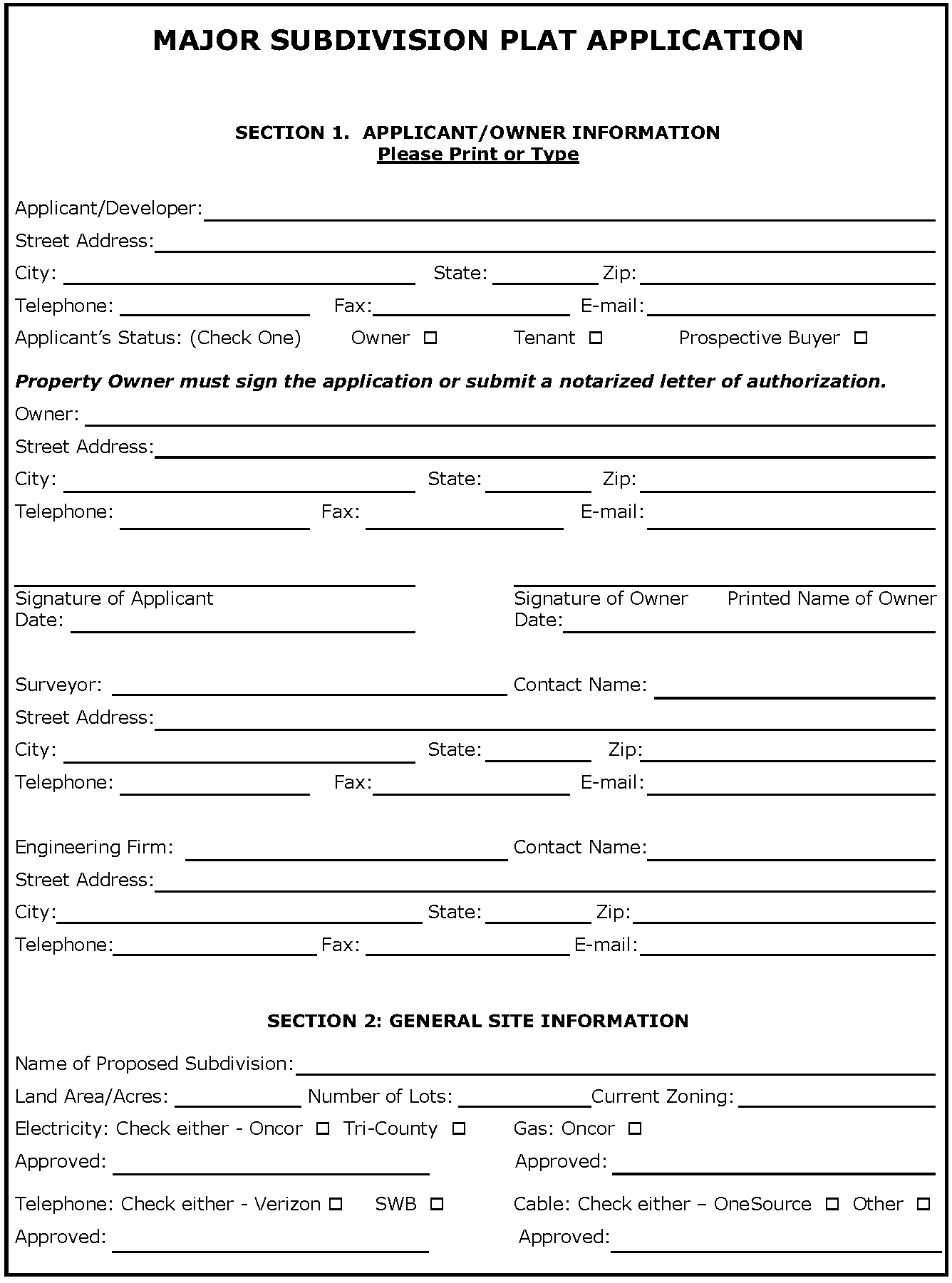
MAJOR SUBDIVISION PLAT APPLICATION
SECTION 3. CHECKLIST
(Please provide each of the items below & initial next to each item)
□ The application fee
□ Seven (7) 24" x 36" copies are needed, collated and folded to 9" x 12" paper size; electronic copy is recommended upon submittal date.
Plat sheet at 24" by 36" and containing the following information:
□ Title Block (see Article Nine - Title Blocks Formats) in lower right hand corner of plat to include:
• Project's name.
• Address and/or legal description of the project, total number of lots and/or phases, total acreage and zoning.
• Name, address, and telephone number of the applicant.
• Name, address, and telephone number of contact person of the developer.
• Name, address, and telephone number of the preparer (Surveyor).
• Date of preparation and dates of revisions, if any (As plats are revised, add dates of revision to each submittal).
□ For all single-family residential subdivisions, a plan summary table to include:
• Total number of lots.
• Number of lots per zoning category.
• Total acreage per phase.
• Number of lots per phase.
• Minimum lot size.
• Minimum dwelling unit size.
• Density per acre.
□ Graphic Scale labeled with scale used.
□ North arrow oriented to the top or right of the sheet.
□ Vicinity map of the City Base Map with scale of 1"=1000' with site location shaded.
□ Length and bearing of all straight lines; radii, arc length, tangent length, and central angles of all curves, indicated along the lines of each lot or in tables.
□ Diagram of a typical corner clip and visibility easement.
□ A note that a Park Dedication Agreement exists, if applicable.
□ A list of variances from development requirements, if applicable.
□ Signature block labeled: "Approved by the City of Keller Planning and Zoning Commission" or "Approved by the City of Keller City Council" if variance is requested (see Article Nine - Signature Blocks for Plats).
□ The following statement when City sewer will not be utilized: "This subdivision is subject to all of the terms and conditions of Tarrant County Commissioner Court Order Number 42703 (Sewage Regulations). Prior to the issuance of a building permit, a license must be obtained by the owner for any private sewage facility (septic tank or aerobic system) to be constructed in the subdivision. A sewage disposal plan will be filed with Tarrant County and areas suitable for septic tanks or aerobic systems will be defined."
□ An Owner's Certificate, see section 4.08 of the UDC for language.
□ Notary Public's Certificate with a signature line, see section 4.08 of the UDC for language.
□ Surveyor's Certificate with a signature line, see section 4.08 of the UDC for language.
□ Names and boundary lines of abstracts and surveys of the land being platted.
□ Lines delineating the proposed phases of development, if applicable.
□ The layout and exact dimensions of proposed lots and blocks, with:
• Front building setback lines and a note that reads, "All setbacks shall be in accordance with the zoning district, as described in the Keller Unified Development Code."
• Lot number and block letter designations.
• Acreage or square footage of each lot and minimum finished floor elevation (minimum finished floor elevation is required only if lot is located within 100-year floodplain or near natural drainage feature).
□ Land proposed for dedication to public use or for reservation for the common use of property owners, labeled with a separate lot and block designation. Also include a list of the conditions of or limitations on the use of this land.
□ Deed restrictions or other encumbrances that impact development of the property.
□ Rights-of-way and public property to be abandoned should be identified on the plat, but information is to be provided separately for the creation of an abandonment certificate (see Section 4.11 - Abandonment of Easements or Rights-of-Way for procedures).
□ Existing and/or proposed streets and alleys, showing street names and the widths of rights-of-way and pavement. Where a development abuts a street shown on the City's Thoroughfare Plan or a proposed Thoroughfare is within the development, the Final Plat shall include the dedication of rights-of-way in accordance with the requirements of the Thoroughfare Plan.
□ Location of all existing and proposed utility, access, and/or drainage easements, with a note regarding responsibility for maintenance.
□ Delineation of the 100-year floodplain, if applicable.
□ Names and recording information of adjoining subdivisions, municipalities, counties, special districts, and parcels of unsubdivided land, including:
• Names of owners of record.
• Boundary lines.
• Zoning designations.
• Names and accurate location of all adjacent streets.
• Dimensions of all abutting lots.
• Reference ties to courses and distances of at least one recognized and corner.
Other Documents
□ Exhibit of Existing Conditions (if Construction Plans are not required) showing the following:
• Location of all existing and proposed utility, access, and/or drainage easements, with a note regarding responsibility for maintenance.
• Proposed grading, and a description of the extent to which any watercourse or natural drainage will be altered or relocated as a result of the proposed development.
• Delineation of the 100-year floodplain, if applicable.
• Location of all public and private service lines for natural gas, water, sanitary sewer or septic tanks, and other buried utilities, if applicable.
□ Tree survey and aerial photo with overlay of plan in accordance with Article Eight - Tree Preservation, as applicable.
□ UDC Variance Request as described in Section 2.08 - Procedures for Variances from the Regulations of the Code, if applicable.
□ The Planning Manager, Planning and Zoning Commission, or City Council may require additional information or drawings, operations data, or expert evaluation when considering the application, including traffic studies and drainage studies.
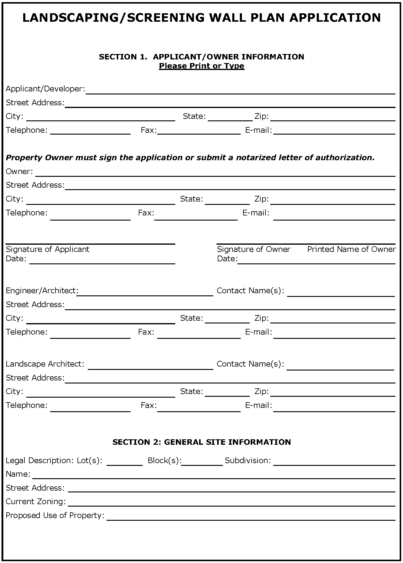
LANDSCAPING/SCREENING WALL PLAN APPLICATION
SECTION 3. CHECKLIST
(Please provide each of the items below & initial next to each item)
□ The application fee
□ Seven (3) 24" x 36" copies are needed, collated and folded to 9" x 12" paper size; electronic copy is recommended upon submittal date.
□ Title Block to include:
• Project's name.
• Address and/or legal description of the project.
• Name, address, and telephone number of the applicant.
• Name, address, and telephone number of contact person of the developer.
• Name, address, and telephone number of the preparer (Landscape Architect and/or Engineer).
• Date of preparation and dates of revisions, if any (As plans are revised, add dates of revision to each submittal).
□ North arrow oriented to the top or right of the sheet.
□ A typical section showing the lot, street, parkway, sidewalk, screening wall easement, landscaping, and screening wall (include dimensions).
□ Paving and design detail (sidewalks, streets, parking, etc.).
□ A typical elevation of the screening wall including signage and landscaping (show dimensions, materials, colors, plant types, etc.)
□ Structural design for the wall, including column, drainage, and footing design, and stamped by a Structural Engineer. Wall design shall accommodate drainage.
□ A note placed on all sheets stating that upon completion of the screening wall construction, a letter will be submitted to the City signed and sealed by a Licensed Engineer or contractor responsible for the construction of the wall stating that the screening wall was built in accordance with the approved Landscaping and Screening Wall Plans and specifications.
□ Location of the required sidewalks and trails to be constructed with the subdivision. Sidewalks are required along all thoroughfares and are to be located at the property line or one-foot (1') from the property line. Trails are required in accordance with the City Parks and Trails Master Plan. Other sidewalk and trail locations must be approved by the Development Review Committee.
□ Location, size, and species of all trees to be preserved in accordance with this code (see Section 8 for Tree Preservation Requirements). "Tree stamps" are not to be used unless they indicate the true size and location of trees.
□ Location, size, species, and spacing of all required trees and plant material to be used. (see Section 5.10 - Residential Subdivisions Thoroughfare Screening and Landscaping for requirements). Existing trees credited toward the requirements must also be shown. Proposed trees must be located within the landscaping and screening wall easement.
□ Location of all other landscaping material to be used, including paving, benches, screens, fountains, statues, earthen berms, and ponds (marked with water depth).
□ Additional landscaping amenities provided by the developer or required as part of a Planned Development zoning.
□ Topography of the site.
□ Irrigation Plans should contain the following information:
a.
Description of maintenance provisions and specific models/materials used.
b.
Layout and description of irrigation, sprinkler, or water systems and the placement of water sources.
c.
Location and size of all water and irrigation meters.
d.
Location and type of backflow prevention device.
e.
Location and type of rain and freeze sensor.
f.
Irrigation plans shall be designed by a licensed irrigator. Irrigator shall sign and seal the plans submitted.
□ UDC Variance Request as described in Section 2.08 - Procedures for Variances from the Regulations of the Code, if applicable.
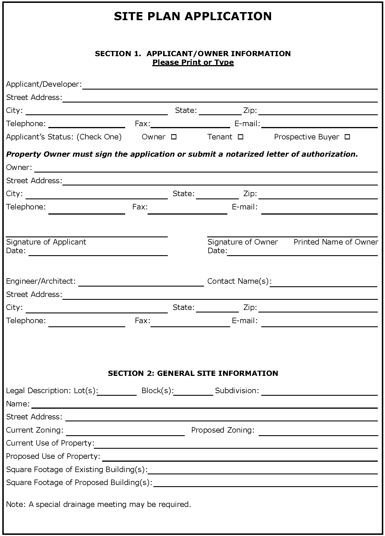
SITE PLAN APPLICATION
SECTION 3. CHECKLIST
(Please provide each of the items below & initial next to each item)
Site Plan Sheet
□ The application fee
□ Seven (7) 22" x 34" or 24" x 36" copies are needed, collated and folded to 9" x 12" paper size; electronic copy is recommended upon submittal date.
□ Site Plan Sheet
• Title Block in lower right hand corner of site plan to include:
• Project's name.
• Name, address, telephone number, fax number, and contact person of the Applicant.
• Name, address, telephone number, fax number, and contact person of the Owner.
• Name, address, telephone number, fax number, and contact person of the preparer (Architect or Engineer).
• Address and/or legal description of the project (addition's name, lots, and blocks).
• Total acreage and zoning.
• Date of preparation and dates of revisions, if any (as the site plan is revised, add dates of revision to each submittal)
□ A summary table showing:
• Total building square footage.
• Number of required parking spaces (show calculations based on building usage).
• Number of provided parking spaces (number of handicapped parking spaces shall not be included as part of required parking spaces).
□ Graphic Scale labeled with scale used.
□ North arrow oriented to the top or right of sheet.
□ Vicinity map of the City Base Map with scale of 1"=1,000' with site location shaded.
□ Distances and bearings of all lots.
□ Cross section of proposed streets, alleys, and parking lots, showing the width and type of pavement and the location and width of sidewalks.
□ The footprints of all proposed buildings or structures.
□ Setback lines as required by the respective zoning district.
□ The names and widths of rights-of-way and pavement of existing and proposed streets and alleys.
□ All curbs or pavement edge and lane striping on adjacent streets with dimensions.
□ Driveway and sidewalk locations with dimensions and curve radii labeled.
□ Parking layout, including maneuvering, loading, and unloading areas.
□ Easements, deed restrictions, or other encumbrances that impact development of the lot.
□ Location, type, material, and height of:
• Required screening walls or fences, including elevations.
• Site lighting showing the height and location of exterior light fixtures.
• Signs locations (All signs shall be permitted separately and meet the sign requirements of this Code at the time of permit).
□ Location and screening of trash receptacles with materials clearly identified (Trash receptacles/dumpsters are required for all non-single family-residential developments unless other acceptable alternative is proposed).
□ Zoning, legal description, and owner of record for all adjacent lots or tracts.
□ Park/Trail location and improvements, if applicable.
□ Location of all utility boxes, cabinets, or meters, which shall be located at rear or side of building, if practical.
Preliminary Utility Plan
□ All property lines and easements.
□ The footprints of all proposed buildings or structures
□ Driveway and sidewalk locations with dimensions and curve radii labeled.
□ Parking layout, including maneuvering, loading, and unloading areas.
□ Location and size of all existing and proposed water and sewer lines.
□ Location and size of all other utilities existing and proposed, underground or overhead.
□ Fire protection, including locations of existing and proposed fire hydrants, fire lanes, and fire lines, with all dimensions clearly designated.
□ Distances to closest existing fire hydrants, on-site or off-site, which would provide water access for this property in the event of a fire.
Preliminary Grading and Drainage Plan
□ All property lines and easements.
□ The footprints of all proposed buildings or structures.
□ Driveway and sidewalk locations with dimensions and curve radii labeled.
□ Parking layout, including maneuvering, loading, and unloading areas.
□ Existing and proposed contours.
□ Location of existing and proposed drainage structures with sizes and dimensions clearly labeled.
□ Location of 100-year floodplain and floodway.
□ Location of proposed improvements in relation to Areas of Special Flood Hazard.
□ Elevation from mean sea level of new or substantially improved structures.
□ A certificate from a Texas-registered Professional Engineer or Architect that states non-residential flood proofed structures meet the criteria contained in the Flood Plain Ordinance.
□ Description of the extent to which any watercourse or natural drainage will be altered or relocated as a result of the proposed development.
Landscape Plan - prepared by a Texas Registered Landscape Architect
□ A minimum scale of 1" = 50'
□ Name of preparer.
□ Date of preparation.
□ North arrow oriented to the top or right of the sheet.
□ Location and spacing of all plants and landscaping materials and features to be used, including paving, benches, and fountains.
□ Species, quantity, and size of all plant materials to be used.
□ Location, size, and species of all trees to be preserved ("tree stamps" may not be used unless they indicate the true size and location of trees).
□ Depth of pond, if applicable.
□ Topography.
□ Description of provisions for maintenance.
□ A note that states that all landscaped areas will be irrigated and that detailed irrigation plans will be submitted with construction plans.
□ A note that all landscaped areas are to be maintained in accordance with City regulations.
□ Location and size of all other utilities existing and/or proposed, underground or overhead, including private transmission lines.
□ Any required mitigation trees are marked with an "M" and are in addition to required landscaping trees.
□ Landscape table listing landscaping requirements per Section 9.03 and showing how these requirements are met. Basic criteria listed below, see Section 9.03 for detailed landscaping requirements.
• Foundation planting a minimum of five feet (5') in width shall be provided at the fronts and sides of buildings.
• Parking lots shall be 100% screened with shrubs or berms adjacent to all public streets.
• No more than twelve (12) consecutive parking spaces shall be allowed without the interruption of a nine foot by twelve foot landscaped island and all parking rows ending with a landscape island.
• Required 15% of parking area landscaped.
• For large parking lots with several rows of parking spaces, a minimum ten-foot (10') wide continuous landscaped island shall be provided at various locations.
• Parking lots shall be 100% screened with shrubs or berms adjacent to all public streets.
• Minimum thirty-foot (30') landscape buffer adjacent to all thoroughfares with four (4) or more lanes as classified on the current Comprehensive Thoroughfare Plan Buffers along other Rights-of-Way with Minimum four inch (4") caliper canopy trees spaced twenty-five feet (25') and two (2) ornamental trees per fifty linear feet (50') of frontage planted in clusters or linear arrangement.
• Minimum fifteen-foot (15') landscape buffer adjacent to all other public streets with minimum three inch (3") caliper canopy trees spaced thirty feet (30') on center in a straight line.
• Minimum thirty-foot (30') landscape buffer adjacent to all properties with residential uses or zoning or when residential zoning or uses are across the street from the side or rear yard of a non-residential or multi-family development with minimum three inch (3") caliper canopy trees spaced thirty feet (30') on center in a straight line.
• Minimum ten-foot (10') landscape buffer adjacent to side and rear property lines when adjacent to non-residential uses or zoning with minimum three inch (3") caliper canopy trees spaced thirty feet (30') on center in a straight line.
Some additional or varied standards apply in Special Zoning Districts including Old Town and Town Center.
Elevations
□ Architectural elevations showing all sides of the proposed building and labeled north, south, east and west.
□ The height of the proposed building clearly dimensioned.
□ All exterior finishes and roofing materials clearly identified.
□ A table showing the percent of each building material per elevation and for the entire building, exclusive of windows and doors.
□ One 11" x 17" sheet with all elevations in color with labels and dimensions removed to serve as a color sample of exterior finishes.
Photometric Plans
□ All property lines and easements.
□ The footprints of all proposed buildings or structures.
□ Parking layout, including maneuvering, loading, and unloading areas.
□ Type, location, and height of all proposed light poles and fixtures.
Aerial Overlay
□ A recent aerial photograph must be submitted (if applicable) in either 11" x 17" or 8.5" x 11" format with an attached transparent overlay.
□ All property lines and easements.
The footprints of all proposed buildings or structures.
□ Driveway and sidewalk locations.
Tree Survey/Preservation Plan
□ Show location of trees on property with individual tree identification number
□ Footprint of proposed structures, fire lanes, future and existing grading contours, all rights-of-way, utility and drainage easements.
□ Add corresponding table with tree identification number, species common name, species Latin name, status of tree "protect" or not-protected", status of tree "remove" or "preserve"
□ Summary table including: total number of trees, total number of trees removed, total number of trees exempt from mitigation requirements due to location, 20% of remaining trees (once those exempt are factored out), mitigation required based on removing more than the 20% allowance.
□ All tree surveys and preservation plans shall be in accordance with Article 9.07.
Additional Information
□ UDC Variance Request as described in Section 2.08 - Procedures for Variances from the Regulations of the Code, if applicable.
□ The Planning Manager, Planning and Zoning Commission, or City Council may require additional information or drawings, operations data, or expert evaluation when considering the application, including traffic studies and drainage studies.
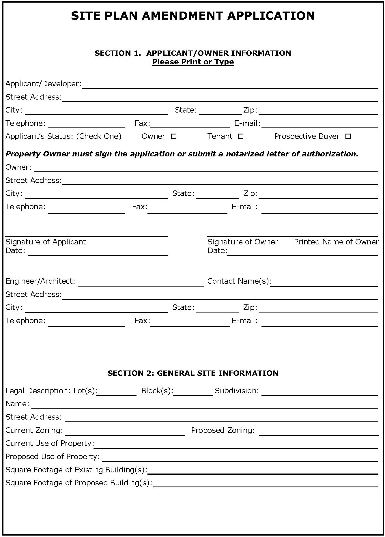
SITE PLAN AMENDMENT APPLICATION
SECTION 3. CHECKLIST
(Please provide each of the items below & initial next to each item)
Site Plan Sheet
□ The application fee
□ Seven (7) 22" x 34" or 24" x 36" copies are needed, collated and folded to 9" x 12" paper size; electronic copy is recommended upon submittal date.
□ Site Plan Sheet
• Title Block in lower right hand corner of site plan to include:
• Project's name.
• Name, address, telephone number, fax number, and contact person of the Applicant.
• Name, address, telephone number, fax number, and contact person of the Owner.
• Name, address, telephone number, fax number, and contact person of the preparer (Architect or Engineer).
• Address and/or legal description of the project (addition's name, lots, and blocks).
• Total acreage and zoning.
• Date of preparation and dates of revisions, if any (as the site plan is revised, add dates of revision to each submittal)
□ A summary table showing:
• Total building square footage.
• Number of required parking spaces (show calculations based on building usage).
• Number of provided parking spaces (number of handicapped parking spaces shall not be included as part of required parking spaces).
□ Graphic Scale labeled with scale used.
□ North arrow oriented to the top or right of sheet.
□ Vicinity map of the City Base Map with scale of 1"=1,000' with site location shaded.
□ Distances and bearings of all lots.
□ Cross section of proposed streets, alleys, and parking lots, showing the width and type of pavement and the location and width of sidewalks.
□ The footprints of all proposed buildings or structures.
□ Setback lines as required by the respective zoning district.
□ The names and widths of rights-of-way and pavement of existing and proposed streets and alleys.
□ All curbs or pavement edge and lane striping on adjacent streets with dimensions.
□ Driveway and sidewalk locations with dimensions and curve radii labeled.
□ Parking layout, including maneuvering, loading, and unloading areas.
□ Easements, deed restrictions, or other encumbrances that impact development of the lot.
□ Location, type, material, and height of:
• Required screening walls or fences, including elevations.
• Site lighting showing the height and location of exterior light fixtures.
• Signs locations (All signs shall be permitted separately and meet the sign requirements of this Code at the time of permit).
□ Location and screening of trash receptacles with materials clearly identified (Trash receptacles/dumpsters are required for all non-single family-residential developments unless other acceptable alternative is proposed).
□ Zoning, legal description, and owner of record for all adjacent lots or tracts.
□ Park/Trail location and improvements, if applicable.
□ Location of all utility boxes, cabinets, or meters, which shall be located at rear or side of building, if practical.
Preliminary Utility Plan
□ All property lines and easements.
□ The footprints of all proposed buildings or structures
□ Driveway and sidewalk locations with dimensions and curve radii labeled.
□ Parking layout, including maneuvering, loading, and unloading areas.
□ Location and size of all existing and proposed water and sewer lines.
□ Location and size of all other utilities existing and proposed, underground or overhead.
□ Fire protection, including locations of existing and proposed fire hydrants, fire lanes, and fire lines, with all dimensions clearly designated.
□ Distances to closest existing fire hydrants, on-site or off-site, which would provide water access for this property in the event of a fire.
Preliminary Grading and Drainage Plan
□ All property lines and easements.
□ The footprints of all proposed buildings or structures.
□ Driveway and sidewalk locations with dimensions and curve radii labeled.
□ Parking layout, including maneuvering, loading, and unloading areas.
□ Existing and proposed contours.
□ Location of existing and proposed drainage structures with sizes and dimensions clearly labeled.
□ Location of 100-year floodplain and floodway.
□ Location of proposed improvements in relation to Areas of Special Flood Hazard.
□ Elevation from mean sea level of new or substantially improved structures.
□ A certificate from a Texas-registered Professional Engineer or Architect that states non-residential flood proofed structures meet the criteria contained in the Flood Plain Ordinance.
□ Description of the extent to which any watercourse or natural drainage will be altered or relocated as a result of the proposed development.
Landscape Plan - prepared by a Texas Registered Landscape Architect
□ A minimum scale of 1" = 50'
□ Name of preparer.
□ Date of preparation.
□ North arrow oriented to the top or right of the sheet.
□ Location and spacing of all plants and landscaping materials and features to be used, including paving, benches, and fountains.
□ Species, quantity, and size of all plant materials to be used.
□ Location, size, and species of all trees to be preserved ("tree stamps" may not be used unless they indicate the true size and location of trees).
□ Depth of pond, if applicable.
□ Topography.
□ Description of provisions for maintenance.
□ A note that states that all landscaped areas will be irrigated and that detailed irrigation plans will be submitted with construction plans.
□ A note that all landscaped areas are to be maintained in accordance with City regulations.
□ Location and size of all other utilities existing and/or proposed, underground or overhead, including private transmission lines.
□ Any required mitigation trees are marked with an "M" and are in addition to required landscaping trees.
□ Landscape table listing landscaping requirements per Section 9.03 and showing how these requirements are met. Basic criteria listed below, see Section 9.03 for detailed landscaping requirements.
• Foundation planting a minimum of five feet (5') in width shall be provided at the fronts and sides of buildings.
• Parking lots shall be 100% screened with shrubs or berms adjacent to all public streets.
• No more than twelve (12) consecutive parking spaces shall be allowed without the interruption of a nine foot by twelve foot landscaped island and all parking rows ending with a landscape island.
• Required 15% of parking area landscaped.
• For large parking lots with several rows of parking spaces, a minimum ten-foot (10') wide continuous landscaped island shall be provided at various locations.
• Parking lots shall be 100% screened with shrubs or berms adjacent to all public streets.
• Minimum thirty-foot (30') landscape buffer adjacent to all thoroughfares with four (4) or more lanes as classified on the current Comprehensive Thoroughfare Plan Buffers along other Rights-of-Way with Minimum four inch (4") caliper canopy trees spaced twenty-five feet (25') and two (2) ornamental trees per fifty linear feet (50') of frontage planted in clusters or linear arrangement.
• Minimum fifteen-foot (15') landscape buffer adjacent to all other public streets with minimum three inch (3") caliper canopy trees spaced thirty feet (30') on center in a straight line.
• Minimum thirty-foot (30') landscape buffer adjacent to all properties with residential uses or zoning or when residential zoning or uses are across the street from the side or rear yard of a non-residential or multi-family development with minimum three inch (3") caliper canopy trees spaced thirty feet (30') on center in a straight line.
• Minimum ten-foot (10') landscape buffer adjacent to side and rear property lines when adjacent to non-residential uses or zoning with minimum three inch (3") caliper canopy trees spaced thirty feet (30') on center in a straight line.
Some additional or varied standards apply in Special Zoning Districts including Old Town and Town Center.
Elevations
□ Architectural elevations showing all sides of the proposed building and labeled north, south, east and west.
□ The height of the proposed building clearly dimensioned.
□ All exterior finishes and roofing materials clearly identified.
□ A table showing the percent of each building material per elevation and for the entire building, exclusive of windows and doors.
□ One 11" x 17" sheet with all elevations in color with labels and dimensions removed to serve as a color sample of exterior finishes.
Photometric Plans
□ All property lines and easements.
□ The footprints of all proposed buildings or structures.
□ Parking layout, including maneuvering, loading, and unloading areas.
□ Type, location, and height of all proposed light poles and fixtures.
Aerial Overlay
□ A recent aerial photograph must be submitted (if applicable) in either 11" x 17" or 8.5" x 11" format with an attached transparent overlay.
□ All property lines and easements.
The footprints of all proposed buildings or structures.
□ Driveway and sidewalk locations.
Tree Survey/Preservation Plan
□ Show location of trees on property with individual tree identification number
□ Footprint of proposed structures, fire lanes, future and existing grading contours, all rights-of-way, utility and drainage easements.
□ Add corresponding table with tree identification number, species common name, species Latin name, status of tree "protect" or not-protected", status of tree "remove" or "preserve"
□ Summary table including: total number of trees, total number of trees removed, total number of trees exempt from mitigation requirements due to location, 20% of remaining trees (once those exempt are factored out), mitigation required based on removing more than the 20% allowance.
□ All tree surveys and preservation plans shall be in accordance with Article 9.07.
Additional Information
□ UDC Variance Request as described in Section 2.08 - Procedures for Variances from the Regulations of the Code, if applicable.
□ The Planning Manager, Planning and Zoning Commission, or City Council may require additional information or drawings, operations data, or expert evaluation when considering the application, including traffic studies and drainage studies.
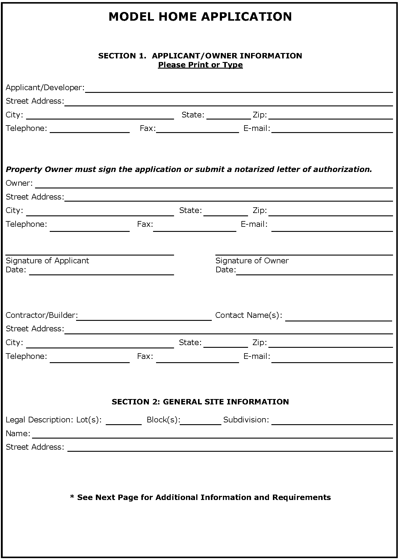
SECTION 2. Model Home Checklist
A Model Home Permit may be issued upon completion of the information listed below:
• Water System shall be completely installed, tested and tied into City of Keller's Water System.
• All fire hydrants need to be installed, accepted and fully operational.
• Sanitary Sewer system needs to be completely installed, tested and tied into City of Keller's Sanitary Sewer.
• Paving shall be complete to ensure proper fire protection. Streets must be capable of sustaining 85,000 lb., vehicle weight. Site plan must show the limits of paving for emergency services access if all streets are not paved at time of application. Concrete shall have adequate cure time, per City of Keller's City Engineer's determination.
• Storm Drainage System shall be complete in the area of the model home. This includes inlets and the downstream system.
• All street signs shall be installed.
• No certificate of Occupancy (CO) to be issued until the subdivision has been fully accepted by the City of Keller.
• A permanent address shall be assigned to the lot to be used for the model home prior to approval of a model home permit. *
• The following documents shall be completed and approved by the City of Keller:
º Site plan
º Final plat
º Landscaping plan
º Screening wall plan
• A Developer Agreement shall be completed and executed prior to approval of a model home permit.
• For single builder subdivisions, only one model home permit may be issued.
• For multiple builder subdivisions, only one model home permit may be issued per builder.
* The City of Keller may require additional time for the street name and address range to be entered into the 911 system and emergency services dispatch database.
GAS WELL APPLICATION CHECKLIST
Application Submission Requirements
A complete Gas Well Planned Development (PD) application consists of the application form, fee, and ten (10) collated and folded copies of the Planned Development (PD) Detailed Site Plan that includes all information listed below. When a complete application is submitted, the Planned Development (PD) Detailed Site Plan and accompanying documents are distributed to the Development Review Committee (DRC) members. The Development Review Committee has five (5) working days to review the application. Following review, comments and requested revisions are forwarded to the applicant. The applicant must then return revised copies along with all markups made by staff to the Community Development Department. The Development Review Committee will review the revised documents and provide comments again within five (5) working days. This review-and-comment process will repeat until the Planned Development (PD) Detailed Site Plan is in a form that could be approved.
Information To Be Submitted With a Gas Well Planned Development Application
The review process will not begin until a Planned Development (PD) Detailed Site Plan that includes at least the information on the following list is submitted with a completed application form and filing fee. Planned Development (PD) Detailed Site Plans shall be prepared by a Texas-Registered Professional Civil Engineer. The applicant shall submit to the Community Development Department ten (10) 22" x 34" or 24" x 36" copies of the Planned Development (PD) Detailed Site Plan, collated and folded to 9" x 9" paper size (see Article Nine - Plan Folding Procedures, no later than Friday at noon. Rolled documents will not be accepted. Scale used should be 1" = 50' or larger. The overall Planned Development (PD) Detailed Site Plan package must contain the following sheets with the corresponding information listed below:
Sheet 1 - Site Plan:
□ Title Block in lower right hand corner of site plan to include:
1.
Project's name;
2.
Name, address, telephone number, fax number, and contact person of the Applicant/Operator;
3.
Name, address, telephone number, fax number, and contact person of the Owner;
4.
Name, address, telephone number, fax number, and contact person of the preparer (Engineer);
5.
Address and/or legal description of the project (addition's name, lots, and blocks).
6.
Total acreage and zoning; and
7.
Date of preparation and dates of revisions, if any (as the site plan is revised, add dates of revision to each submittal).
□ Graphic Scale labeled with scale used.
□ North arrow oriented to the top or right of sheet.
□ Vicinity map of the City Base Map with scale of 1"=1,000' with site location shaded.
□ Distances and bearings of the subject property.
□ A site plan of the proposed drill site and operation site showing the location of all improvements and equipment, including the location of the proposed well(s) and other facilities, including, but not limited to, fire hydrants proposed to supply water to the site, tanks, pipelines, lights, floodways, compressors, separators and storage sheds.
□ A site inventory analysis including a scale drawing showing major existing vegetation, natural water courses, creeks or bodies of water and an analysis of planned changes in such natural features as a result of the development. This should include a delineation of any flood prone areas.
□ A scale drawing showing any proposed public or private streets and alleys; building sites or lots; and areas reserved as parks, parkways, playgrounds, utility easements, school sites, street widening and street changes; the points of ingress and egress from existing streets; general location and description of existing and proposed utility services, including size of water and sewer mains; the location and width for all curb cuts and the land area of all abutting sites and the zoning classification thereof on an accurate survey of the tract with a topographical contour interval of not more than five feet (5').
□ Illustrate setback distances from all surrounding objects as listed and in accordance with the Gas Well Ordinance (Ordinance No. 1465).
□ List all waiver requests to any setback restrictions and provide proper documentation in accordance with the Gas Well Ordinance, if applicable.
□ Locations and elevation views of all fencing, gates, and screening walls including details of heights, materials, and colors.
Sheet 2 - Landscape Plan:
□ The landscape plan must be prepared by a Landscape Architect, Contractor, or Designer. It must include the following at a minimum scale of 1" = 50'. The landscape plan shall conform to the requirements set forth in the Gas Well Ordinance.
□ Title Block in lower right hand corner of landscape plan to include:
1.
Project's name;
2.
Name, address, telephone number, fax number, and contact person of the Applicant;
3.
Name, address, telephone number, fax number, and contact person of the Owner;
4.
Name, address, telephone number, fax number, and contact person of the preparer (Landscape Architect, Contractor, or Designer);
5.
Address and/or legal description of the project (addition's name, lots, and blocks);
6.
Total acreage and zoning; and
7.
Date of preparation and dates of revisions, if any (as the landscape plan is revised, add dates of revision to each submittal).
□ North arrow oriented to the top or right of the sheet.
□ A conceptual landscape plan showing turf areas, ornamental planting, wooded areas, and trees to be planted.
□ Location and spacing of all plants and landscaping materials and features to be used.
□ Species, quantity, and size of all plant materials to be used.
□ Location, size, and species of all trees to be preserved ("tree stamps" may not be used unless they indicate the true size and location of trees).
□ Depth of pond, if applicable.
□ Topography.
□ A note that states that all landscaped areas will be irrigated and that detailed irrigation plans will be submitted at time of Gas Well Permit application.
□ A note that all landscaped areas are to be maintained in accordance with City regulations.
□ Description of provisions for maintenance.
□ Location and size of all other utilities existing and/or proposed, underground or overhead, including private transmission lines.
Sheet 3 - Noise Management Plan:
□ Identify operation sources and noise impacts.
□ Provide documentation establishing the Ambient Noise Level prior to construction of any Wellhead, compressor or compression facility in accordance with the requirements of the Gas Well Ordinance.
□ Detail how the impacts will be mitigated. In determining noise mitigation, specific site characteristics shall be considered, including but not limited to the following:
1.
Nature and proximity of adjacent development, location, and type;
2.
Seasonal and prevailing weather patterns, including wind directions;
3.
Vegetative cover on or adjacent to the site;
4.
Topography; and
5.
Description and explanation of the performance effectiveness of noise control devices.
Sheet 4 - Utility Plan:
□ Title Block in lower right hand corner of utility plan to include:
1.
Project's name;
2.
Name, address, telephone number, fax number, and contact person of the Applicant;
3.
Name, address, telephone number, fax number, and contact person of the Owner;
4.
Name, address, telephone number, fax number, and contact person of the preparer (Engineer);
5.
Address and/or legal description of the project (addition's name, lots, and blocks);
6.
Total acreage and zoning; and
7.
Date of preparation and dates of revisions, if any (as the landscape plan is revised, add dates of revision to each submittal).
□ A description of public utilities required during drilling and operation.
□ All property lines and easements.
□ The footprints of all proposed buildings or structures.
□ Driveway and sidewalk locations with dimensions and curve radii labeled.
□ Parking layout, including maneuvering, loading, and unloading areas.
□ Location and size of all existing and proposed water and sewer lines.
□ Location and size of all other utilities existing and proposed, underground or overhead.
□ Fire protection, including locations of existing and proposed fire hydrants, fire lanes, and fire lines, with all dimensions clearly designated and/or proposed alternate means of fire protection.
□ Distances to closest existing fire hydrants, on-site or off-site, which would provide water access for this property in the event of a fire.
□ Locations of the proposed water supply for the site, a description of the water source to be used during drilling, an estimate of the total volume of water needed, and the approximate dates the water supply will be needed at the site. If the water source will be the City of Keller municipal water supply, provide the maximum withdrawal rate in gallons per minute from each point of withdrawal.
Sheet 5 - Grading and Drainage Plan:
□ Title Block in lower right hand corner of utility plan to include:
1.
Project's name;
2.
Name, address, telephone number, fax number, and contact person of the Applicant;
3.
Name, address, telephone number, fax number, and contact person of the Owner;
4.
Name, address, telephone number, fax number, and contact person of the preparer (Engineer);
5.
Address and/or legal description of the project (addition's name, lots, and blocks);
6.
Total acreage and zoning; and
7.
Date of preparation and dates of revisions, if any (as the landscape plan is revised, add dates of revision to each submittal).
□ All property lines and easements.
□ The footprints of all proposed gas well facilities.
□ Driveway locations with dimensions and curve radii labeled.
□ Layout of parking including maneuvering, loading, and unloading areas.
□ Existing and proposed contours.
□ Location of existing and proposed drainage structures with sizes and dimensions clearly labeled.
□ Location of 100-year floodplain and floodway.
□ Location of proposed improvements in relation to Areas of Special Flood Hazard.
□ Elevation from mean sea level of new or substantially improved structures.
□ A certificate from a Texas-registered Professional Engineer or Architect that states non-residential flood proofed structures meet the criteria contained in the Flood Plain Ordinance.
□ Description of the extent to which any watercourse or natural drainage will be altered or relocated as a result of the proposed development.
Sheet 6 - Photometric Plan:
□ The Photometric Plan must be submitted with all site plans that are adjacent to residential zoning or uses, showing the light intensity within and around the perimeter of the site. The Photometric Plan shall conform to the requirements set forth in Section 9.12 - Lighting and Glare Standards of the Unified Development Code.
□ Illustrate all property lines and easements;
□ The footprints of all proposed gas well facilities, buildings or structures;
□ Parking layout, including maneuvering, loading, and unloading area; and
□ Type, location, and height of all proposed light poles and fixtures.
Sheet 7 - Aerial Overlay:
□ A recent color aerial photograph must be submitted in either 22" x 34" or 24" x 36" format with a transparent overlay that shows the following items:
1.
All property lines and easements.
2.
The footprints of all proposed gas well production facilities, buildings or structures.
3.
Driveway locations.
4.
Parking layout, including maneuvering, loading, and unloading areas.
5.
Tree survey showing the location, type, and size of existing trees (see Article Ten - Tree Preservation of the Unified Development Code).
Sheet 8 - Truck/Pipeline Route Exhibit:
□ Truck routes for all gas well drilling and production operations from the proposed gas well site.
Public Hearing Information:
□ Mailing List of all property owners to be contacted by mail in accordance with the Gas Well Ordinance.
□ Location Map of all affected property owners to be contacted by mail.
□ Electronic file of pipeline route and truck route in AutoCAD or Microstation format.
□ Contact information of Gas Well Operator.
Street address for the gas well location.
Wireless Facility Siting Permit Application Form
Carefully read the proposed application form which also functions as a checklist. Complete the application and attached supporting materials as required. On questionnaire and checklist, place an "x" in the box to indicate that item has been provided or to select an answer to the question. If an item is not applicable please write "N/A" near the box.
Five (5) copies to be submitted as paper copies, and one (1) .pdf on an electronic storage device.
Completed Permit Application to be submitted to:
City of Keller
Attn: Community Development Department
1100 Bear Creek Parkway
Keller, TX 76244
For more information Contact:
Community Development
(817) 743-4130 or communitydevelopment@cityofkeller.com
Terms used in this Application:
"Applicant" - This is the person or entity that will actually utilize the Project, with the permit in the Applicant's name.
"Applicant's Agent" — Applicant's Agent is the agent for the Applicant in connection with this application and is authorized to sign and submit the application on the Applicant's behalf.
"FCC 2009 Declaratory Ruling" —- Federal Communication Commission Order, In the Matter of Petition for Declaratory Ruling to Clarify Provisions of Section 332(c) (7) (B),24 FCC Rcd 13994 (2009)
"FCC 2014 Wireless Infrastructure Order" — Federal Communication Commission Order, In the Matter of Acceleration of Broadband Deployment by Improving Wireless Facilities Siting Policies, WT Docket No. 13-238, __ FCC Rcd ___(Adopted Oct. 17, 2014, Released Oct. 27, 2014) [For Effective dates see end note, but for Section 6409 (a) rules, no earlier than April 8, 2015]. Interpretation of Section § 6409(a) (47 U.S.C. § 1455(a)
"FCC Rules" - FCC Rules, 47 C.F.R. § 1.40001 Wireless Facility Modifications, et al.
"Property Owner" — Is the underlying owner of the property on which the Project is located.
"Project" — For purposes of this application, the new site or modification/addition to an existing wireless facilities site will be termed the "Project".
"Section 322 (c) (7)" - Federal law, 47 U.S.C. § 332 (c) (7).
"Section 6409 (a)" - Federal law, 47 U.S.C. § 1455(a) (Section 6409(a) of the Middle Class Tax Relief Act of 2013).
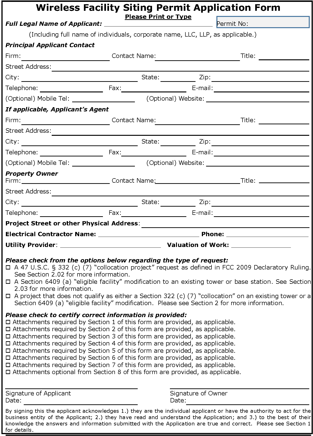
WIRELESS FACILITY SITING PERMIT APPLICATION FORM/CHECKLIST
SECTION 1. APPLICANT/OWNER INFORMATION
1.02: Underlying Property Owner Information.
□
1.02.1: If the underlying owner of the property on which the Project is located ("Property Owner") is not the same as the Applicant, please include information on the Property Owner's name, company or firm, title, address, email and telephone number.
□
1.02.2: If the underlying Property Owner is not the same as the Applicant and does not sign the application acknowledging its consent to file the Application for the Project, please attach a letter of agency appointing the Applicant, or the Applicant's representative or Applicant's Agent, as applicable, as the agent for the Property Owner in connection with this Application and as being fully authorized to sign the Application on the Property Owner's behalf acknowledging the Property Owner's consent to file the Application for the Project.
Designate this as "Exhibit 1.02.2, Property Owner's Letter of Agency".
□
1.02.3: If the Project is located in the public right-of-way, describe in detail the governmental authority and/or statutory authority, or other legal authority that granted the Applicant the privilege to use the rights-of-way for a wireless facility.
Designate this as "Exhibit 1.02.3, Permission to use ROW for wireless facility".
□
1.02.4: If the Project is located in the public right-of-way, and will be placed in infrastructure not owned or controlled by the Applicant, such as an existing wireless antenna support tower or utility pole, street light pole, or traffic signal pole, describe in detail the legal basis for the use of that infrastructure, providing copies of pole attachment or other agreements with the owner of the infrastructure.
Designate this as "Exhibit 1.02.4, Permission to use ROW infrastructure".
1.03: Representations on submitting the Application (Choose one from the options below):
□
1.03.1: If the Applicant is an individual, they must sign their full name on the cover page to the Application, representing that: 1.) they have read and understand the Application and; 2.) to the best of their knowledge the answers and information submitted with the Application are true and correct.
□
1.03.2: If the Applicant is not an individual, an Applicant's in-house representative must sign their full name on the cover page to the Application, representing that: 1.) they have the authority to act for the business entity of the Applicant; 2.) they have read and understand the Application; and 3.) to the best of their knowledge the answers and information submitted with the Application are true and correct.
□
1.03.3: If neither the Applicant nor the Applicant's in-house representative signs the application form, please attach a letter of agency appointing the above named Applicant's Agent as the agent for the Applicant in connection with this application and as being fully authorized to sign and submit the application on the Applicant's behalf. The Applicant's Agent must sign their full name on the cover page to the Application, representing that: 1.) they have the authority to act for the business entity of the Applicant; 2.) they have read and understand the Application; and 3.) to the best of their knowledge the answers and information submitted with the Application are true and correct.
Designate this as "Exhibit 1.03.3: Applicant's Letter of Agency."
SECTION 2.00: TYPE OF WIRELESS FACILITIES APPLICATION FOR PURPOSES OF FEDERAL LAW: SECTION 332(C)(7) OR SECTION 6409(A).
The type of wireless facility Project determines the review time under federal law for the City to act in deciding to grant or deny a permit. The three possible City review periods, depending on type of project, are:
•
150 days is the default, but rebuttable presumptive time for the City to review and act on all new wireless facility sites and projects that do not qualify as either a Section 322 (c) (7) "collocation" on an existing tower or a Section 6409 (a) modification to an "eligible" existing tower or existing base station.
•
90 days is the default, but rebuttable presumptive time for the City to review and act on a Section 322 (c) (7) "collocation" on an existing tower, when supported by complete documentation submitted with the application.
•
60 days is the time allowed for the City to review and act on a Section 6409 (a) "eligible facilities request" for modification of an existing tower or existing base station, when supported by complete documentation submitted with the application.
Both a Section 322 (c) (7) "collocation" on an existing tower and a Section 6409 (a) modification to eligible an existing tower or existing base station have detailed restrictions to qualify. If the Applicant is asserting that the Project qualifies for either of those two types of projects, complete the below questions, and provide the requested information in full to avoid a delay in you application's review for incompleteness.
The City review times start when the application is filed, but can be tolled (not counted) if the application is incomplete. Section 332 (c) (7) presumptive times are rebuttal by the City, and the City does not waive, but reserves its right to rebut those times as not reasonable under the circumstances.
All of the City review times may be extended by the Applicant, with mutual, written agreement 30 day review for completeness of the application for purposes of the City review period:
If the City determines the application is incomplete it will provide written notice to the Applicant within 30 days of filing of the application that the application is incomplete, detailing the missing information and citing where that information was required. The remaining time for the City to review the application does not start again until the supplemental information has been provided to the City in full.
For the maps and drawings required, the following standards apply in the City's determination of completeness. The size of each submitted map, drawing, Project elevation renderings and/or photographs and photo simulations must be no smaller than 11" by 8.5." Each must use the same streets names and legends.
Please provide following information in complete detail:
2.01: Presumption that the Application is for a project that does not qualify as either a Section 322 (c) (7) "collocation" on an existing tower or a Section 6409 (a) "eligible facility" modification to an existing tower or base station: The City will conclusively presume that the Application's Project is neither a collocation project qualified under Section 322 (c) (7) nor is it an "eligible facility" request for modification under Section 6409 (a), unless the Applicant clearly asserts that it is, providing the below requested information in Section 2.02 or Section 2.03, as applicable, in full and in complete detail. If the above presumption is not correct, complete Section 2.02 or Section 2.03, as applicable.
2.02: 47 U.S.C. § Section 332 (c) (7) collocation project: If the Applicant asserts that this Project is eligible and fully qualifies as a 47 U.S.C. § 332 (c) (7) collocation project request as defined in FCC 2009 Declaratory Ruling attach:
□
A detailed written statement describing the reasons upon which the applicant believes that that the Project is eligible for 47 U.S.C. § 332 (c) (7) collocation treatment, to include at a minimum complete answers to the below questions in 2.02.1 below:
□
2.02.1: Detailed engineer sealed drawings of the measurements described below:
□
Detailed information on the existing tower where the collocation is to be placed, to include but not be limited to copies of the initial application and permit, and any subsequent modification applications and permits, even if denied.
□
Detailed information on the existing tower where the collocation is to be placed as to whether the mounting of the proposed antenna on the tower increases the existing height of the tower by more than 10%, or by the height of one additional antenna array with separation from the nearest existing antenna not to exceed twenty feet, whichever is greater? Explain in detail. Please provide detailed engineer sealed drawings of these measurements.
□
Detailed information on the existing tower where the collocation is to be placed as to whether the mounting of the proposed antenna involve adding an appurtenance to the body of the tower that would protrude from the edge of the tower more than twenty feet, or more than the width of the tower structure at the level of the appurtenance, whichever is greater? Explain in detail. Please provide detailed engineer sealed drawings of these measurements.
□
If the mounting of the proposed antenna exceeds the size limits set forth in (2) (height) and/or (3) (width/protrusions), is it asserted it was necessary to either avoid interference with existing antennas or to shelter the antenna from inclement weather or to connect the antenna to the tower via cable? Explain in detail. Please provide detailed engineer sealed drawings of supporting these asserted claims.
□
Detailed information on the existing tower where the collocation is to be placed as to whether the mounting of the proposed antenna involve the installation of more than the standard number of new equipment cabinets for the technology involved, not to exceed four, or more than one new equipment shelter? Explain in detail. Please provide detailed engineer sealed drawings of these measurements.
□
Detailed information on the existing tower where the collocation is to be placed as to whether the mounting of the proposed antenna involve excavation outside the current tower site, defined as the current boundaries of the leased or owned property surrounding the tower and any access or utility easements currently related to the site, including any physical, wireline, interconnections to other locations, noting existing wireline connections and new ones? Explain in detail. Please provide detailed engineer sealed drawings of these measurements.
□
Please include a detailed map depicting the sites' boundary of the property owned or leased for purposes of the tower Project, and the location of the tower Project within that boundary, and depicting the tower Project as it is at the time of the application, and after the requested collocation, in both an overhead format, and in elevations from each side. Please provide detailed engineer sealed drawings of this depiction.
□
Designate this attachment as "Exhibit 2.02.1, Section 332 (c) (7), Eligible Collocation Project". Go to Section 3.
2.03: Section 6409 (a) eligible facilities request for modification: If the Applicant asserts that this Project is an eligible facility request for modification under Section 6409 (a) as it does not "substantially change the physical dimensions" of an existing tower or base station, as those terms are defined in FCC 2014 Wireless Infrastructure Order and FCC Rules, please attach:
□
A detailed written statement describing the basis of the assertion that Section 6409 (a) applies to this Project and why it meets the applicable requirements as set for in FCC Rules, 47 C.F.R. § 1.40001 Wireless Facility Modifications, et al, to include complete answers to the questions in 2.03.1 below.
□
2.03.1. Provide detailed information and detailed engineer sealed drawings of the measurements described to answer the questions below, at a minimum providing documentation or information to the extent reasonably related to the request for modification to allow the City to determine whether the request for modification meets the detailed requirements set for in FCC Rules, 47 C.F.R. § 1.40001 Wireless Facility Modifications, et al:
□
Is the Project an "eligible facility" as a either a "tower" or a "base station" as defined in FCC Rules, 47 C.F.R. § 1.40001 (b) (1) and (9)? Explain in detail.
□
Provide detailed information on how the tower or base station to be modified as the Project meets the definition of "existing" in FCC Rules, 47 C.F.R. § 1.40001 (b) (5). Include with this explanation copies of the initial application and permit of the tower or base station, and any subsequent modification applications and permits, even if denied, and of any City required conditions placed on the initial or subsequent permits, such as, but not limited to, safety, setbacks, fencing, landscaping, and concealment or stealth requirements.
□
Provide detailed information and documents on the "site" of the tower or base station to be modified by the Project as "site" is defined in FCC Rules, 47 C.F.R. § 1.40001 (b) (6), to allow the City to determine the "site" for purposes of compliance with Section 6409 (a) eligibility. Please include a detailed map depicting the sites' boundary of the property owned or leased for purposes of the Project, and the location of the Project within that boundary, and depicting the tower or base station as it is at the time of the application, and after the requested modifications, in both an overhead format, and in elevations from each side.
□
If the Project is located in the public right-of-way, describe by providing maps and drawings to fully depict the area asserted to be in proximity to the structure and to other transmission equipment already deployed on the ground, to include the location of the tower or base station and transmission equipment already deployed on the ground within that proximity area, depicting the tower or base station as it is at the time of the application, and after the requested modification, in both an overhead format, and in elevations from each side. Include the basis of the assertion as to the area in proximity to the eligible structure. Explain in full detail to include maps and drawings to allow the City to determine the "site" for purposes of compliance with Section 6409 (a) eligibility.
□
Is the request to modify a "collocation", as defined in FCC Rules, 47 C.F.R. § 1.40001 (b) (2), or a removal or replacement of "transmission equipment", as defined in FCC Rules, 47 C.F.R. § 1.40001 (b) (8)? Explain in detail.
□
To the extent the modification Project includes replacement in the form of "hardening" of the tower or base station, please provide analysis by a licensed engineer as to why this hardening is necessary for an eligible Section 6409 (a) collocation, replacement, or removal of transmission equipment, and percentage of the structure that is being replaced.
□
Provide detailed information on how the requested modification of the tower or base station to be modified by the Project does not "substantially change the physical dimensions" of the existing tower or base station, as those terms are defined in FCC Rules, 47 C.F.R. § 1.40001 (b). Explain in detail, specifically, including detailed licensed engineer sealed drawings, on how the requested modification of the tower or base station Project is to be modified, to include:
□
Increases in the height of the tower or base station to be modified;
□
Increases in the width and/or protrusions of appurtenances and/or transmission equipment from the tower or base station to be modified;
□
Increases in the transmission equipment/cabinets on the ground of the site of the tower or base station to be modified;
□ Detail on any excavations and deployment outside the current site including any physical, wireline, interconnections to other locations, noting existing wireline connections and new ones.
□
How the requested modification of the tower or base station does not defeat any previously required concealment (stealth) conditions from prior permits;
□
How the requested modification of the tower or base station complies with any other previously required City conditions from prior permits, other than those allowed by the "substantial change" thresholds identified in FCC Rules, 47 C.F.R. § 1.40001(b)(7)(i)-(iv).
What constitutes a "substantial change" are detailed in the definition in FCC Rules, 47 C.F.R. § 1.40001 (b) (8), including how each item listed above is measured (i.e., height, width, protrusions of appurtenances, number of cabinets). Please provide all documents and information to the extent reasonably related to the request for modification to allow the City to determine whether the request for modification meets the detailed requirements set for in FCC Rules, 47 C.F.R. § 1.40001 Wireless Facility Modifications, et al.
□
Designate this attachment as "Exhibit 2.03.1, Section 6409(a) Eligible facility request for modification that does not substantially change the physical dimensions of an existing tower or base station" Go to Section 3.
SECTION 3.00: GENERAL PROJECT INFORMATION
3.01.1: Project Description:
To the extent not answered in detail in Section 2 above, please provide answers to either 3.01.1 and 3.01.2 or 3.01.3 and 3.01.4, as applicable:
□
3.01.1 Detailed map depicting the boundary of the property owned or leased for purposes of the Project, and the location of the proposed Project within that boundary including street names, addresses of buildings or residences in at least 300 yards of proximity to that area including any physical, wireline, interconnections to other locations, noting existing wireline connections and new ones.
□
3.01.2 Detailed to scale drawings depicting the existing wireless facilities structure as it is at the time of the application, as applicable, and as the Project will be after the requested modification, in both an overhead format, and in elevations from each side including any physical, wireline, interconnections to other locations, noting existing wireline connections and new ones.
□
3.01.3 If the Project is located in the public right-of-way, describe the location by providing maps to depict the area with 200 feet of the Project, including street names, addresses of buildings or residences and the area asserted to be in proximity to the Project, to include the location of the Project structure within that area, including any physical, wireline, interconnections to other locations, noting existing wireline connections and new ones.
□
3.01.4 Detailed to scale drawings depicting the existing wireless facilities structure as it is at the time of the application, as applicable, and as the Project will be after completion, in both an overhead format, and in elevations from each side including any physical, wireline, interconnections to other locations, noting existing wireline connections and new ones.
□
Maps and drawings are to be prepared and sealed by a licensed Texas professions Engineer.
□
Designate the maps and drawings as "Exhibit 3.01.1, Project description, maps and drawings."
3.02: Requested photo/elevation renderings to be submitted with the Application: (Not applicable for a fully qualified Section 6409 (a) eligible facility's request to modify.)
3.02.1:
Project Elevation Renderings and/or Photographs and Photo Simulations.
□
To the extent not provided in other responses, where the Project as proposed by the Applicant can be seen at ground level from the street, or from the 1st floor within or on buildings within 500 feet of the Project provide four elevation renderings and/or photographs and/or photo simulations of the Project, including its tower, base station, antennas, antenna concealment/stealth coverings, equipment cabinets, back-up generations, and lights, as applicable.
□
A map detail showing each location where that elevation renderings and/or photographs and/or photo simulations were taken, together with the Project site, and the direction to the site from each elevation renderings and/or photographs and/or photo simulations must be included.
□
The Applicant should submit elevation renderings and/or photographs and/or photo simulations as set out above, and may be requested by the City to provide additional elevation renderings and/or photographs and/or photo simulations to allow the City to visualize the Project as completed.
□
By their submittal with the application, Applicant represents that the elevation renderings and/or photographs and/or photo simulations are accurate and reliable representations of the current project site and the proposed Project to be constructed or modified, and that the Applicant is fully aware that the City will rely on all of the elevation renderings and/or photographs and/or photo simulations provided when it considers granting or denying the Application for this Project.
□
Designate as "Exhibit 3.02.1, Project elevation renderings and/or photographs and photo simulations."
SECTION 4.00: EXISTING ZONING REQUIREMENTS AND ANY VARIANCES/WAIVERS REQUESTED.
4.01.1: Provide information on the existing zoning regulations or other City land use and/or safety code requirements at the Project site that may be applicable to the Project.
□
4.01.1: If the Project is not in full compliance with the existing zoning regulations or other City requirements or conditions of prior permits at the Project site provide detail as to how it is non-compliant, and if a variance and/or waiver is requested by the Applicant for each instance of non-compliance, and why the variance/waiver is requested, except for qualified Section 6409 (a) Applicants.
□
4.01.2: For qualified Section 6409 (a) Applicants, to the extent not answered above in Section 2.03.1 (7) f. above, provide details if the Project complies with any other previously required City conditions from prior permits, and/or existing zoning regulations or other City requirements at the Project site other than those allowed by the "substantial change" thresholds identified in FCC Rules, 47 C.F.R. § 1.40001(b)(7)(i)-(iv), and if not, and if a variance and/or waiver is requested by the Applicant for each instance on non-compliance, and why the variance/waiver is requested.
□
Designate this as "Exhibit 4.01, Existing zoning regulations or other City requirements at the Project site and requested variances/waivers."
SECTION 5.00: PROJECT USE AND PURPOSE
(Not applicable for a fully qualified Section 6409 (a) eligible facility's request to modify.)
5.01: Principal Use of the Project: (Check one or more, as applicable)
□
If for private use, such as an amateur radio, describe generally in a written statement.
□
If for broadcast radio, broadcast TV, or satellite connectivity for data or cable television, describe generally in a written statement.
□
If for commercial public cellular telephone, to include, but not limited to a network for "personal wireless services" as defined in Section 322 (c) (7) (C), or a network for "commercial mobile service" , as defined in 47 U. S.C. § 332 (d), Enhanced Specialized Mobile Radio, Specialized Mobile Radio, Microwave, PCS telephone, Small Cell, or a Distributed Antenna System (DAS), describe generally in a written statement.
□
If for other uses, (e.g., Wi-Max or Wi-Fi), describe generally in a written statement.
5.02: If applicable, indicate whether the purpose of the Project is: (Check one or more, as applicable)
□
Adding commercial cellular network without adding significant new radio frequency coverage area to a network for "personal wireless services", as defined in Section 322 (c) (7) (C) and/or to a network for "commercial mobile service", as defined in 47 U. S.C. § 332 (d).
□
Providing significant new radio frequency coverage in an area not already served by radio frequency coverage to a network for "personal wireless services", as defined in Section 322 (c) (7) (C) and/or to a network for "commercial mobile service", as defined in 47 U. S.C. § 332 (d).
□
Increasing the existing radio frequency signal level in an area with existing radio frequency coverage to a network for "personal wireless services", as defined in Section 322 (c) (7) (C) and/or to a network for "commercial mobile service", as defined in 47 U. S.C. § 332 (d).
□
Intended to close or reduce an asserted "significant gap" in a wireless telecommunications cellular network, including to a network for "personal wireless services", as defined in Section 322 (c) (7) (C) and/or to a network for "commercial mobile service", as defined in 47 U. S.C. § 332 (d).
□
Other. Attach a written statement fully describing all portions or elements of the "Other" dominant purpose of this Project.
□
Designate this exhibit as "Exhibit 5.02, Other purpose of this Project."
SECTION 6.00 "SIGNIFICANT GAP" QUESTIONS, IF APPLICABLE:
(Not applicable for a fully qualified Section 6409 (a) eligible facility's request to modify.)
6.01: Is this Project intended to close or reduce an asserted "significant gap" in a wireless telecommunications network, to include a network for "personal wireless services", as defined in Section 322 (c) (7) (C) and/or for "commercial mobile service", as defined in 47 U. S.C. § 332 (d) (sometimes referred to collectively as "cellular network")? □Yes □No
If the answer is Yes, attach a:
□
Written statement, signed and sealed by an engineer licensed in Texas, including his or her designated primary area of engineering practice, and if it is not electrical engineering, then include a copy of his or her Supplementary Experience Record (SER) as filed with the Texas Board of Professional Engineers, Rule 133.97 (j), and explaining why he or she is competent without a designated primary area in the engineering branch area of electrical engineering concerning Radio Frequency (RF) engineering analysis. In such written statement provide full details describing the following:
□
Geographic boundary of the claimed significant gap area, attaching a street-level map showing that geographic boundary of the claimed significant gap.
□
Describe the size of the claimed significant gap area in square miles; and
□
Set out and explain the definition of and/or what constitutes a "significant gap" as used by applicant in this Project.
□
If the term or of what constitutes a significant gap as set out above is different than the term significant gap is used or applied by the wireless industry generally, if known, and/or the FCC, if known, explain the differences and the reasons for the differences.
Where the Applicant has relied on external data sources to factually support the claimed significant gap area, identifying those sources and:
□
Whether the claimed significant gap affects a significant number of commuters on particular roadways, and if so, name each roadway, and include addresses by blocks, and how affected; and
□
Describe the number of potential cellular network users in the claimed significant gap area; and
□
Describe the number of potential cellular network users in the claimed significant gap area who may be affected by the claimed significant gap; and
□
Describe whether the proposed Project is needed to improve weak signals in a cellular network or to fill a complete void in coverage in a cellular network, and provide Radio Frequency (RF) engineering analysis proof of either; and
□
If the claimed significant gap covers roads on which the cellular network users lack roaming capabilities, identify such roads by name and block address within the claimed significant gap area and provide road use information about each such road; and
□
If one or more "drive tests" was conducted within the claimed significant gap area, discuss in detail the methodology of how the test(s) were conducted, including details about the test equipment by manufacture, model numbers and years in service, if more than 2 years, and calibration maintenance records, if applicable, and location of the test equipment, including any antennas in or on the test vehicle. Provide the objective data collected during the drive test in standard portable spreadsheet format; and
□
If the claimed significant gap affects a retail commercial district, show the boundaries of the district on the map; and
□
If the claimed significant gap poses a public safety risk, describe in detail the claimed risk, and the basis for this claim, including any correspondence (email or in writing) from or to the public, if any; and to or from any public safety officials (fire, police, others), if any, concerning or relating to this claimed public safety risk; and
If the claimed significant gap is based in whole or in part on factors related to switching center capacity; dropped calls; failed hand-offs; interference from or to other cell sites; site hopping; degraded cellular radio frequency signals; and/or any failure to meet any carrier transmission goal or percentage goal,
□
Attach at least the most recent twelve (12) months of historical data by month documenting at least:
□
The results or numerical data of each claimed metric and range of each parameter;
□
The wireless carrier's numerical and percentage requirements for each such claimed perimeter;
□
The total number of calls attempted for each month both successfully and unsuccessfully completed;
□
the total number of calls that were not completed including failed originations; failed hand-offs; and non-normal call terminations; and (5) for every such claimed parameter that is not categorized by way of number or percentage, provide the data in the way kept by the carrier.
□
Designate this exhibit as "Exhibit 6.01, Basis of "significant gap" closing as a purpose of this Project."
6.02: Alternative Candidate sites to close the significant gap, if applicable (Not applicable for a fully qualified Section 6409 (a) eligible facility's request to modify.)
6.02.1: Did the Applicant, or anyone working on behalf of the Applicant, secured or attempted to secure any leases or lease-options or similar formal or informal agreements in connection with this Project for any sites other than the proposed Project site? □Yes □No
If Yes, please provide
□
the physical address of each such other location(s), and
□
provide a narrative with technical explanation, to include a Radio Frequency (RF) engineering analysis, as to why each such other site was not used as the project site, including identifying and discussing all alternative sites considered to close the significant gap.
6.02.2: Are there any sites in lieu of the site proposed by Applicant that could either close the significant gap claimed or reduce the significant gap to be less than significant, with less impact on the community as compared with a single site? □Yes □No
If Yes, please provide:
□
the physical address of each such other location(s), and
□
provide a narrative with technical explanation to include a Radio Frequency (RF) engineering analysis, as to why each such other site was not used as the project site, including identifying and discussing all alternative sites considered to close the significant gap.
If No, please:
□
explain in narrative format the basis for that answer.
□
6.02.3: If there were no alternative sites were reviewed by the Applicant, or anyone working on behalf of the Applicant, please answer why in technical detail to include a Radio Frequency (RF) engineering analysis.
□
Designate these Responses to 6.02.1 to 6.02.3 as "Exhibit 6.02, Alternative Candidate site to close the significant gap information".
6.02.4: If the City required the Applicant to designate one or more sites as alternative sites to the proposed site for the Project, would that requirement "unreasonably" discriminate against the Applicant from among providers of functionally equivalent services, or prohibit or have the effect of prohibiting the provision of "personal wireless services", as defined in Section 322 (c) (7) (C) and/or "commercial mobile service", as defined in 47 U. S.C. § 332 (d)? □Yes □No
If the Applicant's response asserts that either unreasonable discrimination or a prohibition or effective prohibition would occur,
□
Explain in detail in narrative form the technical, to include a Radio Frequency (RF) engineering analysis, why it would do so.
□
Designate this Response as "Exhibit 6.02.4, City requirement of the Applicant to designate alternative sites to the proposed site for the Project will prohibit or have the effect of prohibiting the Applicant from providing any interstate or intrastate telecommunications service".
6.03: Proposed site, as the one and only one location to close the significant gap, if applicable (Not applicable for a fully qualified Section 6409 (a) eligible facility's request to modify.)
6.03.1: Does the Applicant considered the proposed site as the one and only one location within or outside of the City that can close the significant gap? □Yes □No
If Yes,
□
Provide a technically detailed explanation supported by comprehensive radio frequency data and other necessary information fully describing why the proposed site is the one and only one location within or outside of the City that can possibly close the significant gap to include a Radio Frequency (RF) engineering analysis.
□
Designate this Response as "Exhibit 6.03.1, Proposed site as the one and only one location to close the significant gap information".
6.03.2.: If the City denied the application at the site proposed for the Project, would that denial "unreasonably" discriminate against the Applicant from among providers of functionally equivalent services, or prohibit or have the effect of prohibiting the provision of "personal wireless services", as defined in Section 322 (c) (7) (C) and/or "commercial mobile service", as defined in 47 U. S.C. § 332 (d)? □Yes □No
If the Applicant's response asserts that either unreasonable discrimination or a prohibition or effective prohibition would occur,
□
Explain in detail in narrative form the technical, and other reasons why it would do so to include a Radio Frequency (RF) engineering analysis.
□
Designate this Response as "Exhibit 6.03.2, City denial of this Project at this site will prohibit or have the effect of prohibiting the Applicant from providing any interstate or intrastate telecommunications service".
6.04: Least intrusive means to close the significant gap, if applicable (Not applicable for a fully qualified Section 6409 (a) eligible facility's request to modify.)
6.04.1: Is the proposed Project the least intrusive means to close the significant gap claimed and described above? □Yes □No
If Yes,
□
Attach a written statement describing at a minimum, why this project is the least intrusive means to close the significant gap claimed, to include a Radio Frequency (RF) engineering analysis and other information you relied on in reaching your affirmative determination in above.
□
Designate this Response as "Exhibit 6.04, Proposed Project as the least intrusive means to close the significant gap information".
6.04.2: If the City required the Applicant to have a less intrusive Project, to include a reduction in height and/or width, or to have concealment or stealth requirements, would those requirements would any of those requirements "unreasonably" discriminate against the Applicant from among providers of functionally equivalent services, or prohibit or have the effect of prohibiting the provision of "personal wireless services", as defined in Section 322 (c) (7) (C) and/or "commercial mobile service", as defined in 47 U. S.C. § 332 (d)? □Yes □No
If the Applicant's response asserts that either unreasonable discrimination or a prohibition or effective prohibition would occur,
□
Explain in detail in narrative form the technical, and other reasons why it would do so to include a Radio Frequency (RF) engineering analysis.
□
Designate this Response as "Exhibit 6.04.2, City requirement of the Applicant to have a less intrusive Project, to include a reduction in height and/or width, or to have concealment or stealth requirement, will prohibit or have the effect of prohibiting the Applicant from providing any interstate or intrastate telecommunications service".
SECTION 7.00: WIRELINE PHYSICAL INTERCONNECTIONS BETWEEN THE PROPOSED SITE AND OTHER SITES THAT USE THE PUBLIC RIGHTS-OF-WAY:
7.01: If the Project is to be physically interconnected by new wireline "back haul" on, over or under public rights-of-way, please proved the following, as applicable:
□
Identify by physical street address of the public rights-of-way, and the managing jurisdiction of the public-rights-of-way (City, County, or State).
□
Technical detail of the proposed method of the physical wireline interconnection, including, but not limited to: overhead, underground, conduits, leased capacity of others, noting existing wireline connections and new ones.
□
Detailed maps and drawings depicting the connections between the proposed Project site and the other sites where they are to be on, over or under public rights-of-way, noting existing wireline connections and new ones.
□
Detailed information as to the Applicant's governmental grant of authority to use such public-rights-of-way for this purpose of physically interconnecting the Project to any other site or sites by the name of the approving governmental authority, including related documents (e.g., ordinances, franchise, agreements, license or permits), and/or applicable statutes by citation or other means of granting the Applicant (or others) the privilege to place private facilities in the public rights-of-way for private use to connect wireless facilities' sites.
□
Designate this as "Exhibit 7.01, Wireline/backhaul interconnections in the Public Rights-of-Way Information."
SECTION 8.00: LEASE ALLOWANCE OF ADDITIONAL WIRELESS FACILITIES AND/OR PROVIDERS:
(Optional response, at Applicant's sole discretion.)
8.01: To the extent not confidential, will the Proposed Site be available for use by other wireless providers?
8.02: To the extent not confidential, does the lease agreement require written consent from the landowner/landlord to allow other wireless providers and/or additional wireless facilities?
8.03: To the extent not confidential, does the lease agreement have any limitations as to:
(1)
size- length, width, height, weight of facilities on the tower, or limitations as to the exact placement of the wireless antenna array and/or its "footprint"; or
(2)
any limitations of any other any additional wireless facilities to be placed on the tower by applicant or other wireless providers on the site at ground level or on the tower?
References
FCC 2009 Declaratory Ruling is downloadable at: https://apps.fcc.gov/edocs_public/Query.do?mode=advance&rpt=cond
FCC 2014 Wireless Infrastructure Order is downloadable at: http://www.fcc.gov/document/wireless-infrastructure-report-and-order.
Effective dates of the FCC 2014 Wireless Infrastructure Order:
April 8, 2015: Section 6409 (a) rules are effective April 8, 2015 (90 days after the Jan. 8, 2015 publication in the Federal Register (FR).2014 Wireless Infrastructure Order, ¶ 242), except to the extent Office of Management and Budget (OMB) approval is required, 2014 Wireless Infrastructure Order, ¶ 286.
Sections requiring OMB approval are to be effective sometime after Jan. 20, 2015, but no earlier than April 8, 2015: The FCC determined the following portions of the Section 6409 (a) FCC rules require OMB approval before they are effective: 47 C.F.R. §§ 1.40001 (c) (3) (i) [detailed city document request for supplemental information to toll the 60 days "shot clock" due to 30 day notice of incompleteness]; 1.40001 (c) (3) (iii) [City 10 day review of supplemental information, and subsequent request to submit information to further toll the "shot clock"]; and 1.40001 (c) (4) [60 day failure to act "deemed granted"].
The link to the FCC's OMB approval request is: FR Notice. OMB action on this will be some time after Jan. 20, 2015, when comments are due. Until the OMB acts and the FCC publishes a notice of that OMB approval, those parts of the FCC Rules are not effective. 2014 Wireless Infrastructure Order, ¶ 289. See FR also Jan. 8, 2015, at page 1238, http://www.gpo.gov/fdsys/pkg/FR-2015-01-08/pdf/2014-28897.pdf
Feb. 9, 2015: The balance of the Order on NHPA, NEPA and clarification of FCC 2009 Declaratory Ruling and Section 332 (c) (7) are effective 30 days from FR publication. 2014 Wireless Infrastructure Order, ¶ 289, or Feb. 9, 2015. See FR also Jan. 8, 2015, at page 1238.
1 See 2009 Declaratory Order ¶ ¶ 32 and 42, and FN 99; FCC 2014 Wireless Infrastructure Order, ¶ 216.
1 47 C.F.R. § 1.40001(c).
1 2009 Declaratory Ruling, ¶ 46. A Section 332 (c) (7) "collocation" project is one that does not "substantial increase in the size of a tower". 2009 Declaratory Ruling, footnote 146 states that a "substantial increase in the size of a tower" occurs when:(1) [t]he mounting of the proposed antenna on the tower would increase the existing height of the tower by more than 10%, or by the height of one additional antenna array with separation from the nearest existing antenna not to exceed twenty feet, whichever is greater, except that the mounting of the proposed antenna may exceed the size limits set forth in this paragraph if necessary to avoid interference with existing antennas; or (2) [t]he mounting of the proposed antenna would involve the installation of more than the standard number of new equipment cabinets for the technology involved, not to exceed four, or more than one new equipment shelter; or (3) [t]he mounting of the proposed antenna would involve adding an appurtenance to the body of the tower that would protrude from the edge of the tower more than twenty feet, or more than the width of the tower structure at the level of the appurtenance, whichever is greater, except that the mounting of the proposed antenna may exceed the size limits set forth in this paragraph if necessary to shelter the antenna from inclement weather or to connect the antenna to the tower via cable; or (4) [t]he mounting of the proposed antenna would involve excavation outside the current tower site, defined as the current boundaries of the leased or owned property surrounding the tower and any access or utility easements currently related to the site."
1 47 C.F.R. § 1.40001 (b) (6).
1 FCC 2014 Wireless Infrastructure Order, ¶ 180-81. Replacement may be of "transmission equipment", and may include hardening of the structure as a whole "where such hardening is necessary for a covered collocation, replacement, or removal of transmission equipment, but does not include replacement of the underlying structure."
(Ord. No. 2104, § 1, 12-6-22)
Section 11.02 - Title Block Formats
Title Block for Preliminary Plats:
Title Block for Minor or Major Subdivision Final Plats:
Title Block for Replats:
Title Block for Amended Plats:
Title Block for Site Plans:
(Ord. No. 2104, § 1, 12-6-22)
Section 11.03 - Signature Blocks for Plats
Preliminary Plats Approved by Planning and Zoning Commission:
Preliminary Plats Approved by City Council:
Minor Subdivision Final Plats Approved by Community Development Department:
Minor or Major Subdivision Final Plats Approved by Planning and Zoning Commission:
Minor or Major Subdivision Final Plats Approved by City Council:
(Ord. No. 2104, § 1, 12-6-22)