
La Quinta City Zoning Code
CHAPTER 9
20 - ZONING DISTRICTS
9.20.010 - Establishment of districts.
The city is divided into the following zoning districts which are consistent with and implement the general plan:
1.
RVL Very Low Density Residential District
2.
RL Low Density Residential District
3.
RC Cove Residential District
4.
RM Medium Density Residential District
5.
RMH Medium High Density Residential District
6.
RH High Density Residential District
7.
VC Village Commercial District
8.
CR Regional Commercial District
9.
CP Commercial Park District
10.
CC Community Commercial District
11.
CN Neighborhood Commercial District
12.
CT Tourist Commercial District
13.
CO Office Commercial District
14.
MC Major Community Facilities District
15.
PR Parks and Recreation District
16.
GC Golf Course District
17.
OS Open Space District
18.
FP Floodplain District
19.
HC Hillside Conservation Overlay District
20.
SOB Sexually Oriented Business Overlay District
21.
EOD Equestrian Overlay District
22.
AHO Affordable Housing Overlay District
23.
MU Mixed Use Overlay District
(Ord. 550 § 1, 2016; Ord. 512 § 1, 2013; Ord. 466 § 1, 2009; Ord. 284 § 1, 1996)
9.20.020 - Official zoning map.
A.
Adoption of Map. The boundaries of the zoning districts established in this zoning code shall be shown on that map entitled "City of La Quinta Official Zoning Map" on file with the director and available for public examination and purchase.
B.
Interpretation of District Boundaries. Where uncertainty exists regarding the precise boundaries of districts on the official zoning map, the following rules shall apply:
1.
Boundaries indicated as approximately following the centerlines of streets shall be construed as congruent with such centerlines. Boundaries indicated as approximately following the right-of-way lines of streets shall be construed as congruent with such right-of-way lines and shall further be construed as moving with such right-of-way lines.
2.
Boundaries indicated as approximately following lot lines shall be construed as congruent with such lot lines.
3.
Boundaries indicated as parallel to or extensions of the lines described in subsections (B)(1) and (2) of this section shall be so construed. Distances not specifically indicated on the official zoning map shall be determined by the scale of the map.
4.
Where any public right-of-way is officially vacated or abandoned, the zoning district regulations applied to abutting property shall thereafter extend to the centerline of such vacated or abandoned right-of-way.
5.
Where lot line adjustments between two (2) existing parcels, one (1) within a residential district and the other within a Golf Course district, result in a larger residential district parcel, a zone change is not required when the proposed increase in the residential district parcel size resulting from the lot line adjustment is less than twenty percent (20%). The residential district regulations governing the existing residential parcel are applied to the added parcel area resulting from the approved lot line adjustment between two (2) parcels.
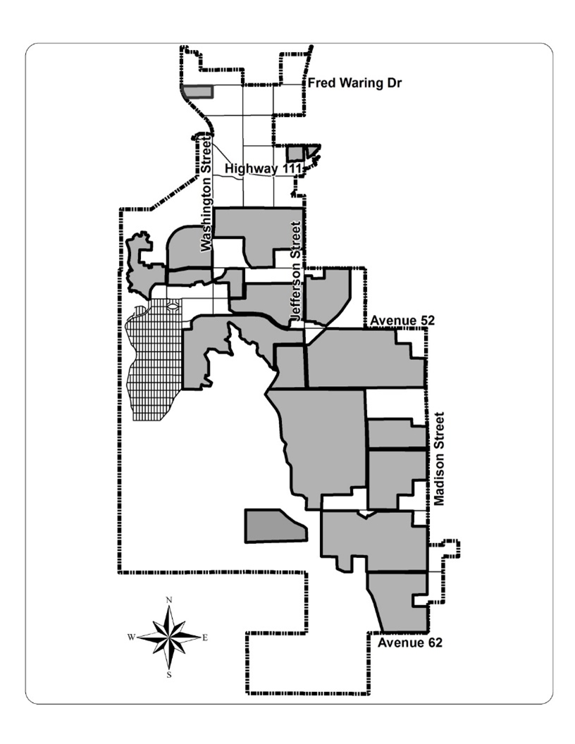
Areas with adjacent residential and golf course districts
6.
In cases where uncertainty exists after application of rules in subsections (B)(1) through (4) of this section, the director shall determine the district boundaries.
(Ord. 562 § 1, 2017; Ord. 550 § 1, 2016; Ord. 284 § 1, 1996)
9.20.030 - Special zoning symbols.
A.
Purpose. In some cases, the city may determine that alternate development standards are required for a particular geographic area other than those set forth in applicable sections of this code with regard to minimum lot size, setbacks, lot frontage and maximum building height because the normal standards may not be appropriate for one (1) or more of the following reasons:
1.
Unusual topography or other natural features within the area.
2.
The need to mitigate development impacts on vulnerable surrounding land uses.
3.
The need to ensure adherence to a key general plan goal, objective or policy.
4.
Other factors affecting the subject area not generally prevalent in the city.
B.
Use of Special Symbols. The city may establish alternate development standards for a particular geographic area than those set forth for the zoning district covering the area by means of special zoning symbols. Such alternate development standards shall supersede those in Chapters 9.50, 9.65, 9.90 and 9.130 and shall be specified by means of one (1) or more of the following symbols on the official zoning map:
1.
Lot Size. A number following the district designation and connected by a hyphen shall designate the minimum lot size. Where the number is greater than one hundred (100), it shall indicate the minimum size in square feet; where the number is less than one hundred (100), it shall indicate the minimum size in acres.
Example: RM-500 or RL-2
2.
Setbacks. A number following the district designation and enclosed by parentheses shall designate the minimum setbacks in feet. Within the parentheses, setbacks shall be separated by a slash (/) and shall be shown in the following order: front/side/rear.
Example: RM (20/5/25)
3.
Height, Number of Stories, and Setback. A number shown below and separated by a line from the district designation shall designate the maximum height of building or structures in feet, the maximum number of stories, and rear yard setback. Height shall be given first followed by a slash (/) and number of stories and another slash (/) and rear yard setback.
Example: RM (28/2/10)
4.
Lot Frontage. A number preceding and connected to the district designation by a hyphen shall designate the minimum lot frontage in feet.
Example: 100-RL
5.
Symbols Combined. The preceding symbols may be used in any combination to show minimum lot size, setbacks, frontage, and maximum height.
Example: 100-RL-2 (20/5/25) ÷ 28/2
C.
Location of Zoning Districts Utilizing Special Symbols. Special symbol districts located within the city of La Quinta shall be clearly identified on the official zoning map and referenced in Section 9.50.030, Table of development standards.
(Ord. 577 § 1, 2019; Ord. 550 § 1, 2016; Ord. 434 § 1, 2007; Ord. 284 § 1, 1996)
9.20.040 - Land uses not listed.
A.
Director's Authority. Because not every possible land use can be identified in this zoning code and because new land uses evolve over time, this section establishes the director's authority to determine if unlisted uses shall be permitted in a zoning district. In order to determine that a use is permitted as a principal, conditional or accessory use, the director shall make all of the following findings:
1.
The proposed use is consistent with the goals and policies of the general plan.
2.
The proposed use is compatible with the purpose and intent of the district in which it is to be located.
3.
The proposed use will not adversely affect the health, safety or welfare of residents or other persons in the vicinity of the use.
B.
Referral to Planning Commission. Any determination on a proposed unlisted use may be referred to the planning commission as a nonhearing item if the director determines on a case-by-case basis that the public interest would be better served by such referral.
C.
Appeals. Any determination on an unlisted land use may be appealed in accordance with Section 9.200.110. Determinations by the director may be appealed to the planning commission and determinations by the planning commission may be appealed to the city council.
(Ord. 584 § 2, 2020; Ord. 550 § 1, 2016; Ord. 284 § 1, 1996)
9.20.050 - Medical marijuana dispensaries.
A.
Medical marijuana dispensaries are a prohibited use in all zones.
B.
Definitions. See Chapter 9.280.