
Stillwater City Zoning Code
APPENDIX I
FORM BASED CODES9
Editor's note— Ord. No. 3439, § 1, adopted Sept. 16, 2019, repealed the former Ch. 23, App. I, Arts. I—IV. Section 2 of said ordinance enacted a new App. I as set out herein. The former App. I pertained to similar subject matter and derived from Ordinance No. 3300, adopted May 18, 2015; Ord. No. 3342, § 1, adopted June 6, 2016; Ord. No. 3343, §§ 1—4, adopted June 6, 2016; Ord. No. 3416, § 3, adopted Sept. 17, 2018.
ARTICLE I. - TRANSECT ZONE DESCRIPTIONS
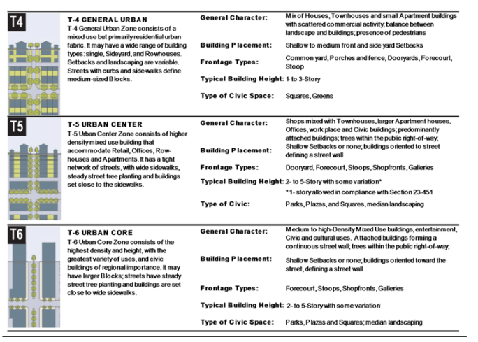
This table provides descriptions of the character of each transect zone. Transect 1, 2 and 3 have been omitted due to the non-applicability to the Corridor Redevelopment Area.
Table 1. Transect Zone Descriptions
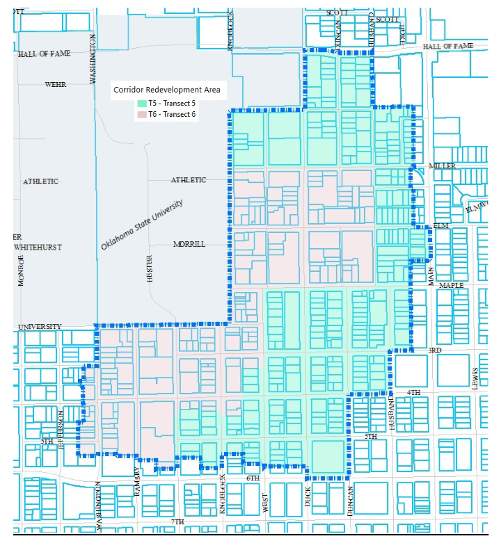
ARTICLE II. - REGULATING PLAN
Map 1. Regulating Plan for Corridor Redevelopment Area
ARTICLE III. - GENERAL PROVISIONS
The following requirements apply to all transects unless stated otherwise.
Note: Routine maintenance (as identified in the current/adopted building codes) of existing property will not trigger the provisions herein.
Note: Contents of Application and Development Plan (The Application and Development Plan process follows the established Commercial Use by Right (CUBR) submittal process).
Sec. 3.1. - Contents of application and development plan.
1.
Completed application on form provided by development services department.
2.
Completed checklist.
3.
Full application fee.
4.
Complete AutoCAD plan drawings for inclusion into GIS system.
5.
Two sets of the development plan drawing providing accurate representation and explanation of any existing improvements or notable existing manmade or natural features currently existing on the subject property.
a.
Title block with name of development, date of preparation, written scale, property address and revision date;
b.
Name and address of property owner/developer and person or entity responsible for preparation of drawing;
c.
Graphic scale, north point and legend;
d.
Written legal description of the site including the size of the property;
e.
Map showing location of subject proposal in relation to cross streets, schools, parks, other public areas within a one-half-mile area of the subject property;
f.
Statement and signature by the preparer that the plan has, to the best of his knowledge, been designed in accordance with the applicable city ordinances and regulations;
g.
Location, dimensions, and materials of fences and pedestrian ways;
h.
Length of boundaries of the entire tract to the nearest foot;
i.
Existing physiographic characteristics including contour lines at two-foot intervals and significant drainage features on and within 25 feet of the subject property;
j.
Location, identification and width of existing and proposed public rights-of-way and existing public and private easements within a minimum of 25 feet of the subject property;
k.
Location, orientation, dimension, area, height and general use of existing and proposed buildings and other structures, including dumpster;
l.
Location, arrangement, and dimensions of off-street parking, access drives and loading spaces; and curb cuts within a minimum of 25 feet of the subject property;
m.
Written narrative description of the proposed use of the property.
n.
Location, size and orientation of any signs not attached to buildings;
o.
Location and size of all driveways and streets within 75 feet of the subject property;
p.
Location of all existing structures within 25 feet of the subject property.
6.
Public utility plan identifying the location, type, size, whether a public or private utility, and other identifying characteristics of the nearest existing utilities and proposed utility extensions or upgrades, with easements, to serve the project as well as the proposed service lines.
7.
Contract ready site development construction plans and applicable public improvement plans.
8.
Final drainage study and plan.
9.
Final grading plan.
10.
Landscape Plan.
11.
A color rendering of all façades.
Sec. 3.2. - Pedestrian environment provisions.
1.
Primary sidewalks shall be no less than 6-feet wide and located on both sides of the street.
2.
Sidewalks that incorporate activities such as dining, sitting areas, open entertainment venues, or similar activity shall be a minimum of 10-feet wide with a continuous 6-foot open aisle.
3.
The use of enhanced paving materials such as brick, stamped and/or colored concrete, pavers, etc., shall be used at major pedestrian intersections as identified in the Public Realm Master plan.
4.
Site furnishings such as planters, urns, benches, bike racks, trash receptacles, etc., shall be incorporated on major pedestrian corridors. See Public Realm Master Plan.
Sec. 3.3. - Vehicle parking provisions.
Per Chapter 23, Article VIII, Parking and Loading Standards, requirements set forth in Section 23-220 Table 4.2 shall be reduced by 20% in the Form Based Code Area.
Sec. 3.4. - Landscape provisions.
Sec. 3.4.1. Intent. A transect-based landscape plan provides many aesthetic, ecological, functional and health/safety benefits. The standards of this section promote public health, safety and welfare by establishing minimum standards for the design, construction and maintenance of landscape improvements for public frontages and private frontages, lots, buildings, civic spaces, thoroughfares and special requirements.
Sec. 3.4.2. Landscape plan. See Tables 2, 3 and 4 for Landscape Requirements.
1.
Landscape plans shall be prepared in conjunction with the design development and construction documents.
2.
Completion requirement. A certificate of occupancy, for any use, shall not be issued until the required landscaping has been installed in accordance with the landscape plan. If a structure and all site improvements are complete except for the required landscaping, and it is not the planting season (fall or spring), temporary occupancy may be permitted for a period of six months, or until the next planting season, whichever comes first.
3.
The landscaping plan shall include at least the following:
a.
North arrow and scale;
b.
The location of existing property lines and dimensions of the tract, accurately drawn to scale;
c.
Locations and limits of all rights-of-way;
d.
The location of all existing and proposed buildings and parking areas, including the exact number of parking spaces provided;
e.
The location and size of any permanent fixture or structure, including but not limited to sidewalks, walls, fences, trash enclosures, project storage, lighting fixtures, signs, and benches which are relevant to the landscape plan;
f.
The location, size, and type of all above-ground and underground public utilities with notation, where appropriate, as to any safety hazards to avoid during installation of landscaping;
g.
The location, size, type, spacing (on center), and quantity of all proposed plant materials and existing plant materials shall be graphically represented and referenced on the plan by a common name and/or scientific name, or an appropriate key of all plant species;
h.
Detailed sprinkler diagram or irrigation plan showing coverage. If an automatic irrigation system is not proposed, the location of all required hose connections and other watering sources shall be noted;
i.
All screening required by these regulations; and
j.
A table listing the square footage of the developed area, number of proposed parking spaces, and all plant materials by scientific and common name, size, type, and quantity.
k.
The method(s) to be used to protect existing trees or vegetation that are to be preserved.
Sec. 3.4.3. General regulations.
1.
Any alteration to existing buildings(s), development(s), or construction shall be required to come into compliance with landscaping requirements as follows:
a.
If the site (including proposed building addition and parking areas) meets or exceeds current landscape standards, additional landscaping shall not be required;
b.
If the site has insufficient green space to provide required landscaping, optional planting areas shall be installed such as built-in or moveable ground planters, decorative pots, hanging baskets, green wall, etc. All irrigation requirements shall be met.
2.
Any plant material installed to meet the requirements of this ordinance which die, or are otherwise removed, shall be replaced with the same or similar plant materials.
3.
Landscaping within rights-of-way. Per Public Realm Master Plan.
4.
Property owners in all transects shall be responsible for maintenance of the landscaped area between the property line and the street curbline.
Sec. 3.5. - Signage provisions.
Sec. 3.6. - Stormwater provisions.
Per Chapter 35, Stormwater Quality and Management.
Sec. 3.7. - Architectural provisions.
Sec. 3.7.1. General.
1.
Corporate or standard building design shall be allowed only if the design meets the purposes, intent and conditions of these guidelines. Allowed only in T6 by warrant.
2.
Wood fences shall be painted, treated, or stained.
Sec. 3.7.2. Materials.
1.
The primary exterior finish material on all façades shall be limited to brick, cast stone, stone, EIFS (Exterior Insulation Finishing Systems), stucco, architectural metal or other high-quality, long-lasting masonry material. Wood may be used as an accent material or trim.
Example of Wood Building Materials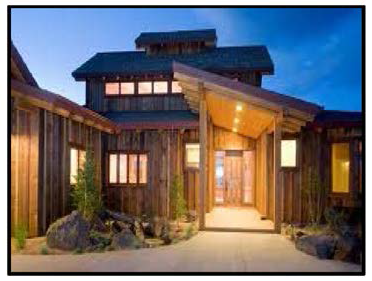 | Example of Brick Building Materials 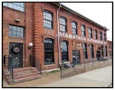 |
Example of Cast Stone Building Materials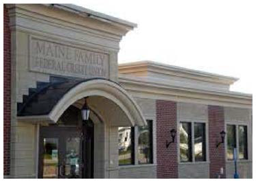 | Example of Stone Building Materials 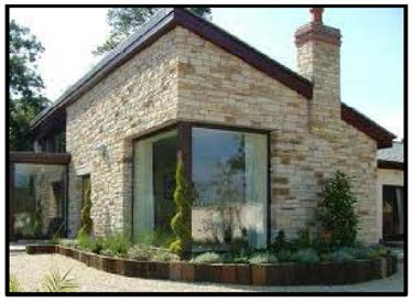 |
Example of Stucco Building Materials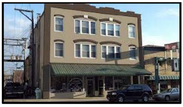 | |
Example of EIFS Building Materials 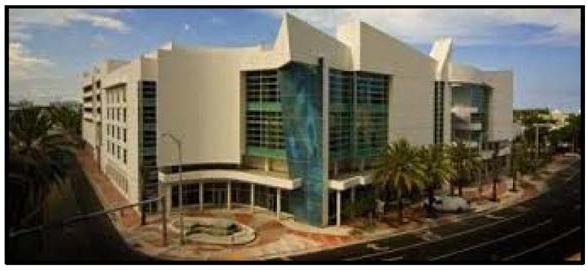 | |
2.
Prohibited materials shall include all metal corrugated or ribbed steel panel pre-fabricated structures, plain concrete block, and corrugated fiberglass.
3.
Architectural metal buildings shall be allowed. Metal panels shall be allowed only when incorporated as a design element.
Examples of Acceptable Metal Structures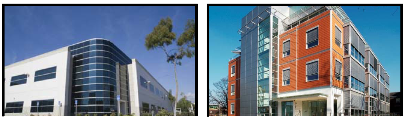
Examples of Unacceptable Metal Structures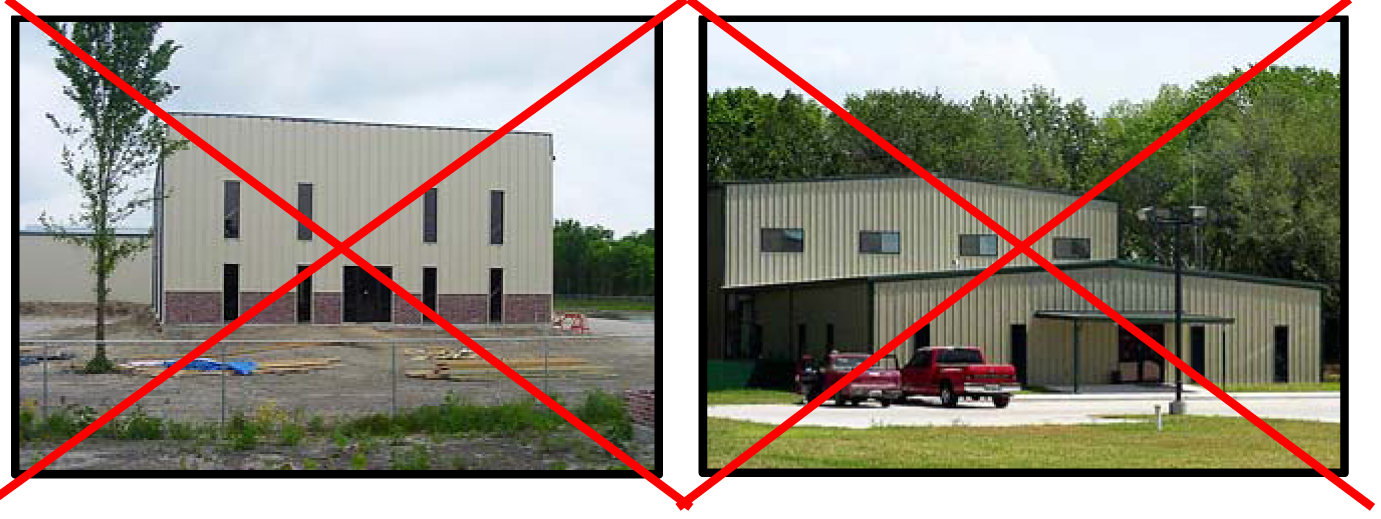
Sec. 3.7.3. Composition.
1.
All buildings on the same site shall be related in architectural style, color scheme and building materials.
2.
All elevations visible to the public shall have repeated architectural design elements.
3.
Special architectural features that accent a corner such as corner entries, projecting windows, towers, turrets and cupolas shall be incorporated on corner buildings.
Example of Composition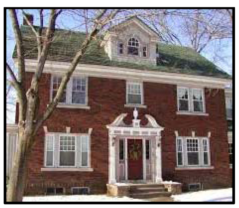 | Example of Composition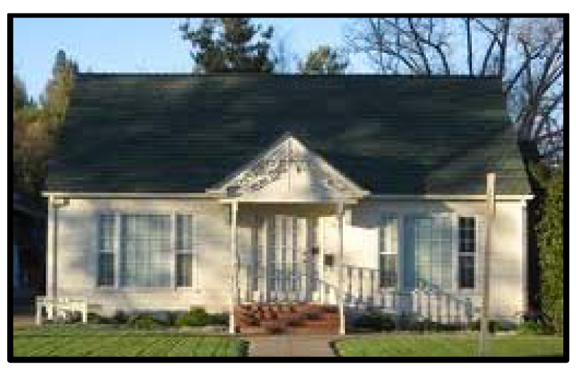 |
Example of Composition of a Corner Structure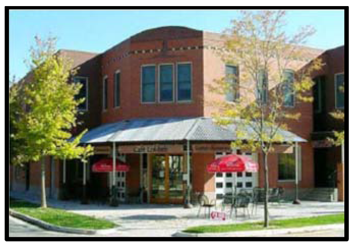 | |
Sec. 3.7.4. Scale.
1.
Canopies, awnings and similar architectural elements shall be proportioned to relate to the human scale.
2.
Buildings with 3-stories and above shall be so designed with vertical or horizontal step backs/step and vertical recessed areas in so as to not create a tunnel effect.
Example of Scale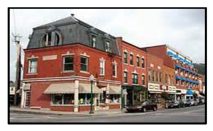 | Example of Scale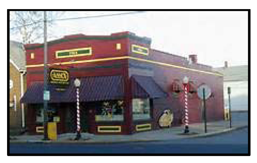 |
Sec. 3.7.5. Proportion.
1.
Building façades shall be compatible with surrounding buildings with regard to massing, scale, proportion of openings, roof types, window types and degree of detail within each transect.
2.
Pilasters, protruding brick columns, change in brick color and wall recesses are encouraged architectural techniques that can be used to add interest, height and screens to rooftops.
Example of Proportion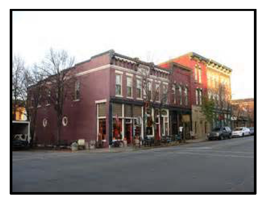 | Example of Proportion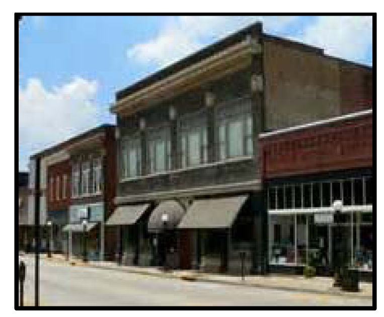 |
Sec. 3.7.6. Transparency.
1.
Commercial structure façades shall incorporate transparent features (windows and doors).
2.
Ground level windows shall provide direct views to the building's interior or to a lighted display area.
3.
Ground level windows shall be elevated a minimum of 18 inches above the sidewalk.
4.
Retail building façades in T5 and T6 shall incorporate transparent glass.
5.
Glass block shall only be used as an accent or decorative detail.
Example of Commercial Transparency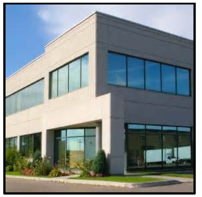 | Example of Residential Transparency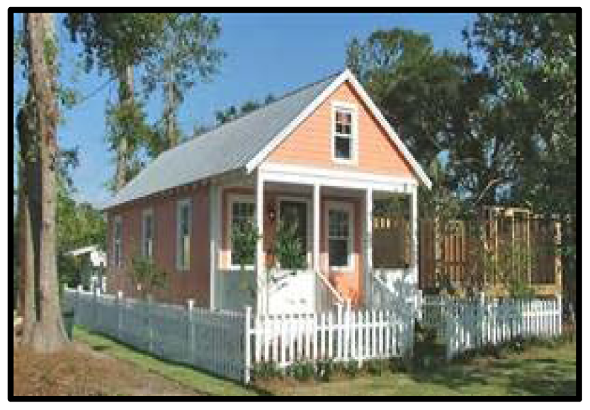 |
Sec. 3.7.7. Articulation.
1.
Building façades are comprised of the following three major components.
2.
The components shall be clearly identifiable with horizontal elements.
3.
The body shall constitute a minimum of 50% of the total building height.
4.
Contrasting materials such as brick, stone or a protruding brick pattern are permitted techniques for the base component.
Example of Articulation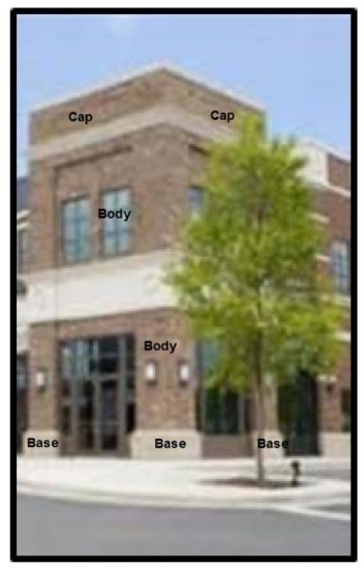 | Example of Articulation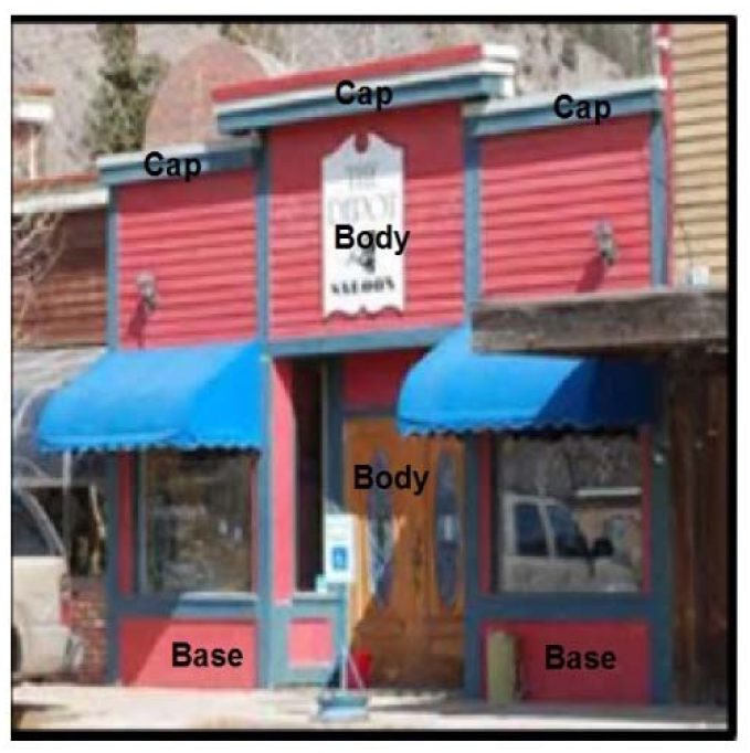 |
Sec. 3.7.8. Expression.
1.
Building entrances shall be easily identifiable and highly visible from the street by incorporating architectural features such as but not limited to protrusions, recessed entry and decorative treatments.
2.
Horizontal elements (expression lines) on large buildings shall be incorporated to reduce the perceived height by dividing the building mass into smaller scale components.
Example of Acceptable Building Entrance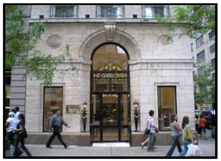 | Example of Acceptable Building Entrance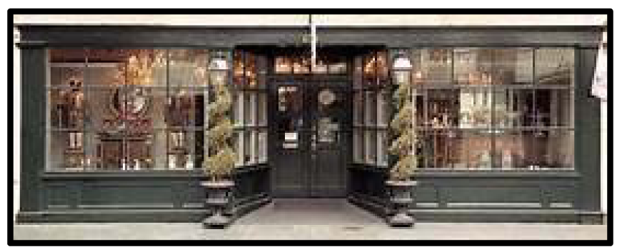 |
Example of Expression Lines Above First Floor and Second Story Windows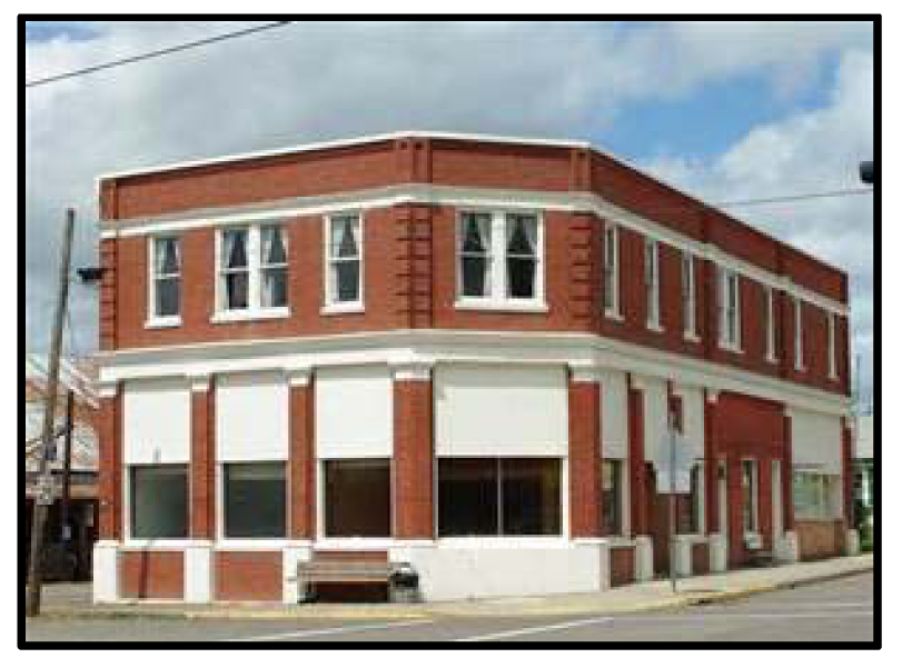 | Example of Expression Lines Above First Floor and Third Story Windows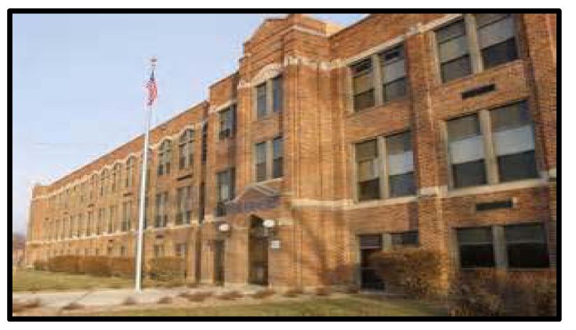 |
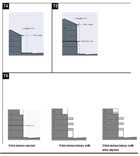
Sec. 3.7.9 - Building step-back articulation.
Vertical recessed facades are required to add scale and visual interest to the street wall for buildings three stories and above.
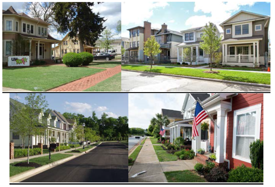
Transect 4 (T4) DESIGN FRAMEWORK
The land use in the T4 district shall be a lower intensity development, consisting primarily of residential. The primary focus is to create a pedestrian environment with deeper setbacks, sidewalks and landscaping to enhance the building frontage. Surface parking lots are discouraged without screening or being placed at the rear of the property.
Table 2. Design Standards
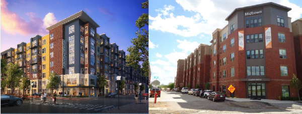
Transect 5 (T5) DESIGN FRAMEWORK
The land use in the T5 district shall be a mixture of frontages and uses ranging from ground floor commercial to office to residential. Building frontage shall be inviting and be designed at a pedestrian scale to encourage high intensity development and pedestrian activity. Surface parking shall be restricted from fronting onto the street and the building entrance shall be emphasized.
Table 3. Design Standards
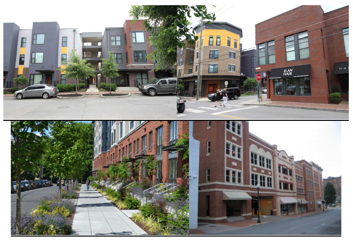
Transect 6 (T6) DESIGN FRAMEWORK
The land use in the T6 district shall consist of commercial, office and high density residential, typically associated with highly urbanized areas. The building design elements shall support and enhance retail uses along with being sensitive to the pedestrian environment. Parking structures are required to provide first-floor commercial service or office space.
Table 4. Design Standards
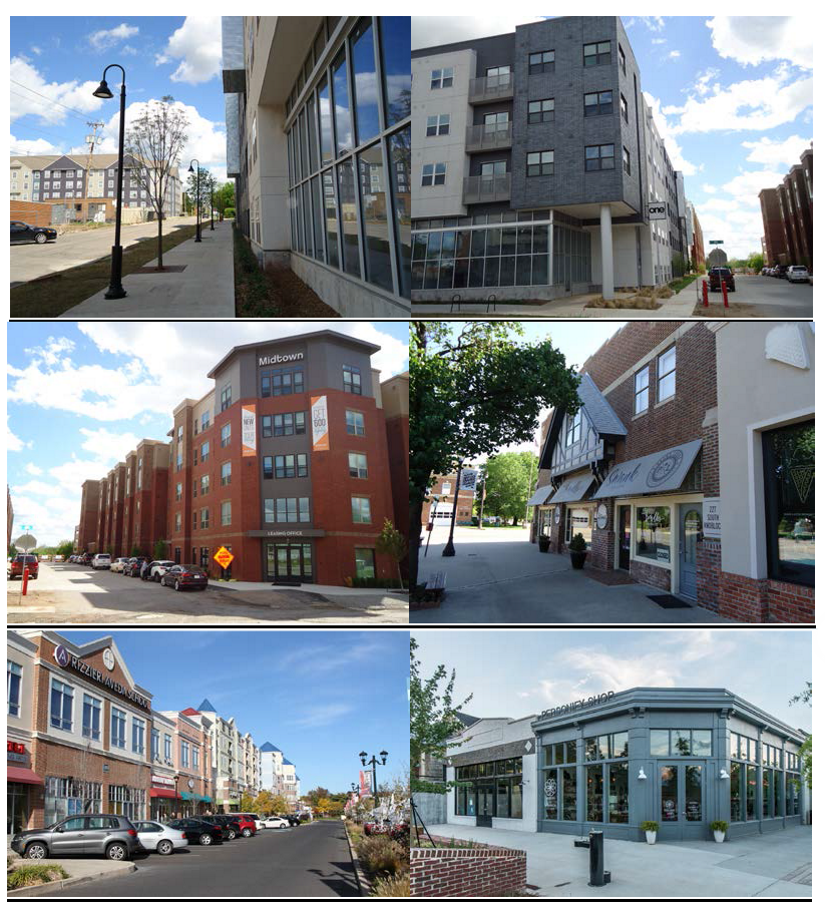
Table 5. Permitted Use Per Transect
■ By-Right
□ By Warrant
1
Home occupation mixed use allowed in T4 along with maximum of 500 sf of office space.
2
Specific Use Permit required.
Table 6. Building Configuration
Note: This table approximates the location of the structure relative to the boundaries of each individual lot. Establishing suitable basic types for each Transect Zone.