
Waynesboro City Zoning Code
ARTICLE 2
- GENERAL ZONING DISTRICTS
Sec. 98-2.1.- General districts established.
A.
The following general zoning districts are hereby established:
B.
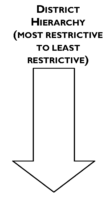
Under the hierarchy of zoning districts established by this Chapter, the RS-12 district is the most restrictive general zoning district and the H-I district is the least restrictive general zoning district. Overlay and planned districts are not included in the zoning district hierarchy.
(Ord. No. 2020-77, 11-23-20)
Sec. 98-2.2.1. - District boundaries.
District boundaries and locations of the zoning districts, as shown on the series of maps entitled "Official Zoning District Maps" (Zoning District Map), are hereby established. Such series of maps, together with all explanatory matters thereon, are hereby adopted by reference and declared to be part of this Chapter. If, in accordance with the provisions of this Chapter, changes are made in district boundaries or other matter portrayed on the Zoning District Map, the map or maps affected shall be amended promptly after the amendment has been approved by the City Council. A copy of the Zoning District Map, properly attested, shall be filed in the office of the Zoning Administrator and shall be available for inspection by the public.
Sec. 98-2.2.2. - Rules for Interpretation.
A.
The Zoning Administrator is authorized to interpret the Zoning District Map, including determining disputed questions of lot lines or district boundary lines and similar questions. If such questions arise in the context of an appeal from a decision of the Zoning Administrator, they shall be handled as provided in Sec. 98-7.15, Administrative appeals.
B.
An application for a Zoning District Map interpretation shall be submitted by filing the application with the Zoning Administrator. At a minimum, the application shall identify the part or area of the map in dispute and specify the grounds for the dispute. Such application shall contain sufficient information to enable the Zoning Administrator to make the necessary interpretation.
C.
Where uncertainty exists as to the boundaries of districts shown on the Zoning District Map, the following rules shall apply:
1.
Boundaries indicated as approximately following the center lines of streets, highways or alleys shall be construed to follow such center lines.
2.
Boundaries indicated as approximately following platted lot lines shall be construed to follow such lot lines.
3.
Boundaries indicated as approximately following corporate limits shall be construed to follow such corporate limits.
4.
Boundaries indicated as following railroad lines shall be construed to be midway between the main tracks.
5.
Boundaries indicated as approximately following the center lines of streams, rivers, canals, lakes or other bodies of water shall be construed to follow such center lines.
6.
Boundaries indicated as parallel to or extensions of features indicated in subparagraphs C.1 through C.5, above, shall be so construed.
D.
Where a district boundary divides a lot or where distances are not specifically indicated on the Zoning District Map, the boundary shall be determined by measurement, using the scale of the Zoning District Map.
E.
Where any street or alley is hereafter officially vacated or abandoned, the regulations applicable to each parcel of abutting property shall apply to that portion of such street or alley added thereto by virtue of such vacation or abandonment.
Sec. 98-2.3. - Housing types.
The following principal housing types and descriptions are established to provide a common terminology for housing in Waynesboro, some of which may not be currently found in the city.
| Single-family detached A residential building containing one dwelling unit located on a single lot with private yards on all four sides. | 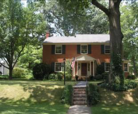 | 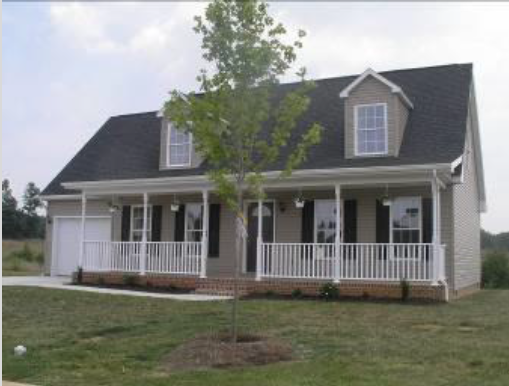 |
| Single-family attached A residential building with two attached dwelling units, each located on its own lot with a common or abutting wall along shared lot lines. Each dwelling unit has its own external entrance. |  | 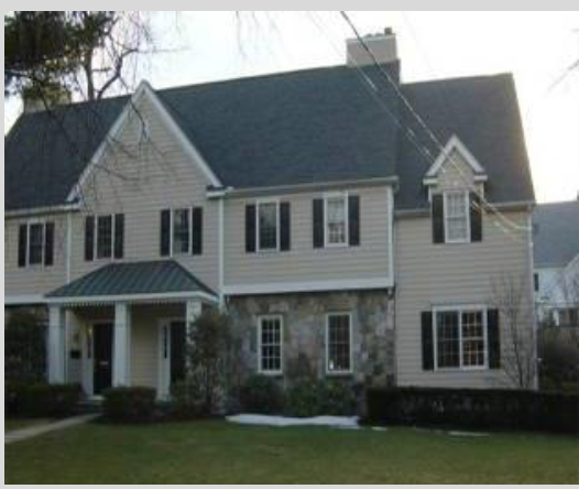 |
| Zero lot line house A dwelling unit located on a single lot with private yards on three sides. The unit has only a single side yard comprising the equivalent of two side yards of a single-family detached house. | 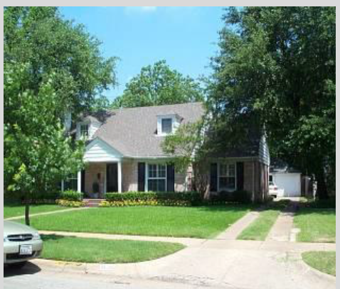 | 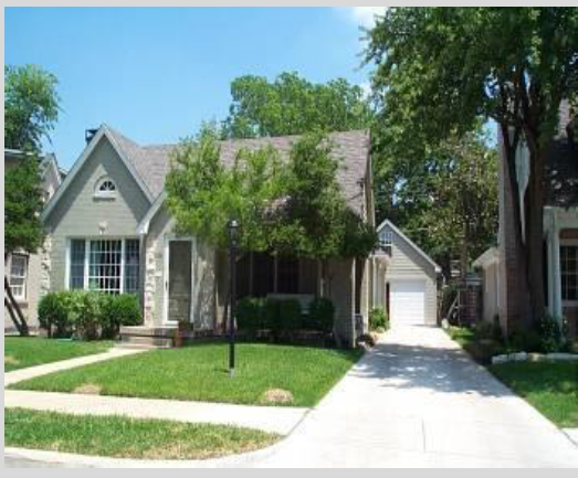 |
| Two-family house (duplex) Two attached dwelling units in a single structure on a single lot (often called a duplex). The two units can be located on separate floors or side-by-side. More than one two-family house may be located on a single lot, subject to compliance with all applicable area and dimensional standards. | 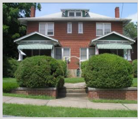 | 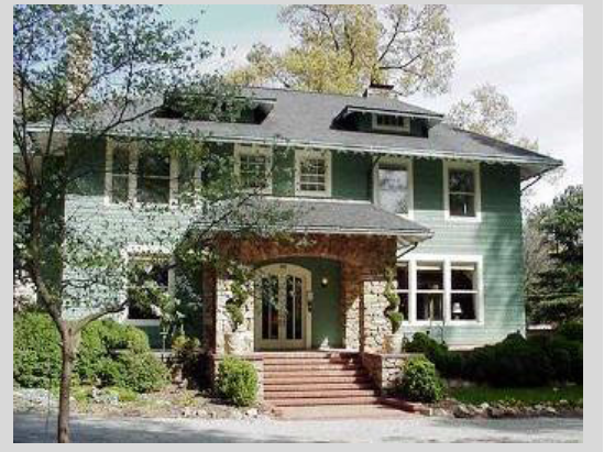 |
| Corner lot duplex A residential building with two attached dwelling units consolidated into a single structure. A corner lot duplex is located on a single, corner lot, and contains common walls. The building looks like a single-family detached building, with only one entrance visible from each street. Dwelling units may be situated either wholly or partially over or under the other dwelling unit. | 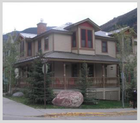 | 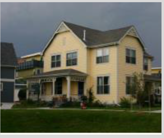 |
| Multiplex A residential building with three to five attached dwelling units, consolidated into a single structure. A multiplex is typically on a single lot, and contains common walls. Each unit has its own external entrance. Dwelling units may be situated either wholly or partially over or under the other dwelling unit. | 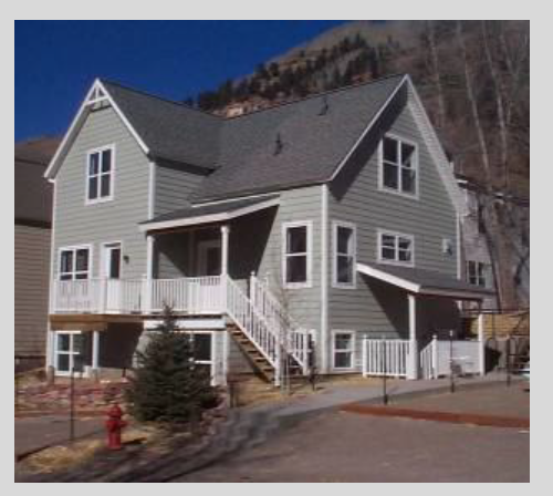 | 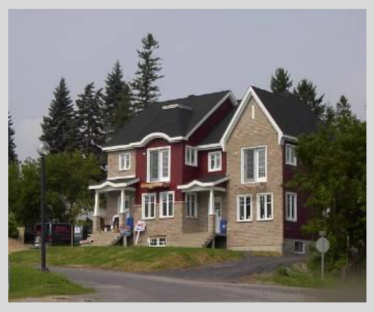 |
| Townhouse A residential building with three to ten attached dwelling units located on separately owned lots or on a single lot where the units are lined up in a row and share side walls. Each unit has its own external street facing entrance. | 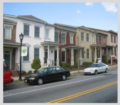 | 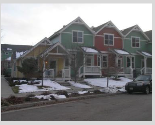 |
| Multifamily building A residential building containing three or more dwelling units sharing common walls and separate units by floor. Such buildings often share a common entrance. More than one multifamily building may be located on a single lot, subject to compliance with all applicable area and dimensional standards. | 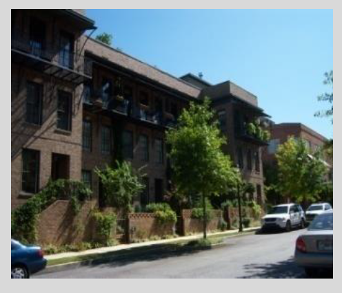 | 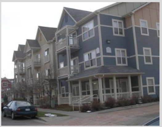 |
| Upper-story residential A dwelling unit located on a floor above a nonresidential use. | 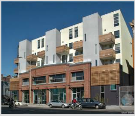 | 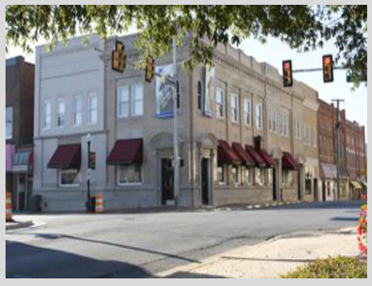 |
| Cottage court A group of small residential buildings that may be made up of detached, attached, or townhouse units, or tiny houses. The majority of the units should front around a common open space with private open spaces provided for each unit. A cottage court may be developed on individual lots or with a common form of ownership. | ||
(Ord. No. 2025-01, § 2, 12-9-24)
Sec. 98-2.4. - Use table.
The Use Table lists uses allowed within zoning districts, and is subject to the explanations set forth below.
Sec. 98-2.4.1. - Types of uses.
A.
Permitted Uses. A "P" indicates that a use is permitted by right in the respective district subject to the specific use standards in Article 4. Such uses are also subject to all other applicable requirements of this Chapter.
B.
Conditional Uses. A "C" indicates a use that may be permitted in the respective general district only where approved by the City Council in accordance with Sec. 98-7.6. Conditional uses are subject to all other applicable requirements of this Chapter, including the specific use standards contained in Article 4.
C.
Uses Not Allowed. A blank cell in the Use Table indicates that a use is not allowed in the respective district.
Sec. 98-2.4.2. - Use standards.
The "Use Standard" column on the table is a cross-reference to any specific use standard listed in Article 4. Where no cross-reference is shown, no additional use standard shall apply.
Sec. 98-2.4.3. - Accessory and temporary uses.
The regulations that apply to accessory and temporary uses are contained in Sec. 98-4.6, Accessory uses, and Sec. 98-4.7, Temporary uses.
Sec. 98-2.4.4. - Use categories.
A.
All of the use categories listed in the table below are described in Sec. 98-10.2. The second column of the Use Table lists some of the specific use types included within respective use categories.
B.
Uses not listed may be allowed pursuant to the similar use determination procedure of Sec. 98-10.2.1.C.
1 North American Industry Classification System (see http://www.naics.com for more information)
(Ord. No. 2012-31, 6-8-12; Ord. No. 2012-60, 8-2-12; Ord. No. 2015-81, 12-28-15; Ord. No. 2017-43, 10-5-17; Ord. No. 2018-45, 7-5-18; Ord. No. 2018-47, 7-5-18; Ord. No. 2018-48, 7-5-18; Ord. No. 2019-49, 6-24-19; Ord. No. 2020-28, § 2, 5-7-20; Ord. No. 2020-77, 11-23-20; Ord. No. 2022-05, § 1, 1-24-22; Ord. No. 2023-01, § 1, 1-23-23; Ord. No. 2025-01, §§ 2, 3, 12-9-24)
Sec. 98-2.5.1. - General.
This section establishes the basic standards for all development in residential districts. The specific standards that apply may vary based on the zoning classification, building type and development type. These standards are not to be interpreted as a guarantee that allowed densities and development yields can be achieved on every lot. Parking requirements, availability of central water and wastewater services, and other factors may further limit development potential on some sites. Residential development shall comply with all applicable standards as set forth in Article 5, Site Development Standards, other provisions in this Chapter and all other applicable laws.
Sec. 98-2.5.2. - Residential districts purpose statements.
A.
Single-Family Residential (RS-12 and RS-7). The RS-12 and RS-7 districts are established to accommodate single-family detached residential neighborhoods on individual lots. The districts are differentiated primarily on the basis of minimum lot area and setback requirements. While the RS-12 and RS-7 districts primarily accommodate residential uses, specified nonresidential uses that are compatible with residential neighborhoods are also allowed.
B.
Traditional Residential (RS-5). The RS-5 district is established to accommodate traditional, small lot neighborhoods primarily characterized by single-family detached dwellings and other specified, compatible housing types. Lots in the RS-5 district have smaller minimum lot area and setback requirements, which are customarily associated with traditional neighborhoods. While the RS-5 district primarily accommodates residential uses, specified nonresidential uses that are compatible with residential neighborhoods are also allowed.
C.
General Residential (RG-5). The purpose of this district is to provide for the establishment of higher density residential uses, including single-family detached dwelling, two-family houses, townhouses and multiplexes, compatible with traditional residential neighborhoods. While the RG-5 district primarily accommodates residential uses, specified nonresidential uses that are compatible with residential neighborhoods are also allowed.
D.
Mixed Residential (R-MX). The R-MX district is established to accommodate a variety of housing opportunities at densities compatible with the applicable neighborhoods. While the R-MX district primarily accommodates residential uses, specified nonresidential uses that are compatible with residential neighborhoods are also allowed.
E.
Multifamily Residential (R-MF). The R-MF district is established to accommodate multifamily living in a higher density residential environment with due attention to existing uses, the character and suitability of areas so designated, and trends of growth and changes in the housing market. While the R-MF district primarily accommodates residential uses, specified nonresidential uses that are compatible with residential neighborhoods are also allowed.
Sec. 98-2.5.3. - Permitted uses.
Uses permitted in the residential districts by the Use Table in Sec. 98-2.4, as permitted or conditional uses, plus accessory uses (See also Sec. 98-4.6), shall be permitted in the residential districts.
Sec. 98-2.5.4. - Conventional development option (in residential districts).
A.
Purpose. Conventional subdivision is a pattern of residential development that provides the majority of property owners with substantial yards on their own property.
B.
General. All residential development in residential districts shall comply with the area and dimensional standards of subsection C, below, the applicable provisions of Article 5, Site Development Standards, and all other applicable laws. A manufactured home on an individual lot shall be considered a single-family detached unit and shall also comply with the standards set forth in Sec. 98-4.2.7. General exceptions to area and dimensional standards and rules for measuring compliance can be found in Sec. 98-1.13.
C.
Conventional Area and Dimensional Standards.
Sec. 98-2.5.5. - Cluster development option (in residential districts).
A.
Purpose. The cluster development alternative may be permitted in the RS-12, RS-7, RS-5, RG-5 and R-MX zoning districts. Cluster development is a pattern of residential development that allows subdivision designs with smaller yards on individual properties in exchange for the preservation of more open space than conventional development designs. Cluster development allows more compact and less costly networks of roads and utilities.
B.
General. Applicants utilizing the cluster subdivision option shall comply with the area and dimensional standards of subsection C, below, all applicable development standards as set forth in Article 5, Site Development Standards, other applicable provisions of this Chapter and all other applicable laws. General exceptions to area and dimensional standards and rules for measuring compliance can be found in Sec. 98-1.13.
C.
Cluster Area and Dimensional Standards.
D.
Project Boundary Buffer Alternatives. When a cluster development is proposed abutting an existing or approved residential subdivision that is not part of the cluster development, a project boundary buffer shall be provided in accordance with Sec. 98-5.4.5.A.2.
E.
Prohibited Uses. Manufactured homes are not allowed in cluster developments. (See also Sec. 98-3.3.3.C.)
Sec. 98-2.5.6. - Nonresidential development standards (in residential districts).
As set forth in the Use Table (See also Sec. 98-2.4), certain nonresidential uses are permitted in residential districts. Nonresidential development in residential districts shall comply with the development standards as set forth below. General exceptions to area and dimensional standards and rules for measuring compliance can be found in Sec. 98-1.13.
Note:
[1]
See also Sec. 98-1.13.8.E for applicable height exceptions.
[2]
Lots abutting residential districts must comply with the upper floor step-back requirement
of Sec. 98-1.13.8.F.
Sec. 98-2.6.1. - General.
Nonresidential development shall comply with all applicable standards as set forth in Article 5, Site Development Standards, other provisions in this Chapter and all other applicable laws.
Sec. 98-2.6.2. - Nonresidential districts purpose statements.
A.
Residential Office (R-O). The R-O district is intended to provide areas suitable for professional services, which meet the needs of the community, and to serve as a transitional district separating more intensive commercial districts and arterial traffic from the surrounding residential neighborhoods. Adaptive re-use and preservation of older residential structures is encouraged in the R-O district. Buildings, uses and parking should retain the residential character and scale of the residential neighborhood.
B.
Local Business (L-B). The L-B district is established to provide for small-scale commercial uses offering primarily convenience shopping and services for adjacent and nearby residential uses. Proximity to residences requires that commercial operations be low intensity, unobtrusive and conducted at a scale and density compatible with the surrounding neighborhood. Development in the L-B district places relatively low demand on public services, transportation and utilities.
C.
Highway Business (H-B). The H-B district is established for the development of offices, hotels, service uses and similar businesses relying on close proximity to major transportation routes. These districts shall be restricted to areas located on arterials and highways. Uses within these districts shall have an attractive appearance consistent with building design standards, ample parking and loading areas, suitable landscaping and buffering. Controlled traffic movement, including the utilization of service roads, may be required.
D.
Mixed Business (MX-B). The MX-B district is established to provide greater flexibility in areas of the City with 1) housing in close proximity to legacy industrial and commercial structures, and 2) a historic urban subdivision pattern with gridded infrastructure, small lots, and abundant on-street shared parking. It allows for a range of residential and commercial uses, as well as industrial uses with additional use standards. The MX-B zone's permitted uses and use standards are meant to encourage business activity and redevelopment while ensuring reasonably quiet enjoyment of residential property. The zone provides only moderate protection from aesthetic concerns or intense daytime activity. As such, the MX-B zone should be used in areas where the existing mix of structures and uses suggest an expectation of vibrancy and activity levels similar to a commercial or industrial area.
E.
Central Business (C-B). The C-B district is established to encompass the retail, office and residential core of downtown Waynesboro and is established to encourage intense development and pedestrian activity through a mixture of uses appropriate to the downtown area. The standards of this district are established to provide for a vital downtown economy that accommodates commercial, civic, cultural, entertainment and residential uses.
F.
Light Industrial (L-I). The L-I district is intended to provide a location for low-intensity manufacturing and industrial activities that may generate some nuisances. Industrial uses are not appropriate interspersed with residential uses. Traffic generation will likely include heavy vehicles making access necessary to an arterial street or a U.S. interstate highway. Unless separated by an arterial or suitable buffer, the L-I district is not appropriate adjacent to any residential district.
G.
Heavy Industrial (H-I). The H-I district is established in order to provide sites for activities which involve major transportation terminals and manufacturing facilities that have a greater impact on the surrounding area than industries found in the L-I district, consistent with historical industrial use patterns. It is the intent of this district to provide an environment for industries that is unencumbered by nearby residential development. Unless separated by an arterial, the H-I district is not appropriate adjacent to any residential district.
(Ord. No. 2020-77, 11-23-20)
Sec. 98-2.6.3. - Nonresidential development standards (in nonresidential districts).
A.
As set forth in the Use Table (See also Sec. 98-2.4), certain nonresidential uses are permitted in nonresidential districts. Permitted nonresidential uses shall comply with the following area and dimensional standards. General exceptions to area and dimensional standards and rules for measuring compliance can be found in Sec. 98-1.13.
Notes:
[1]
The Waynesboro Land Use Guide recommends a minimum of two floors for all downtown
buildings. A 13-foot floor-to-ceiling height is recommended by the Guide for all first-floor
space in downtown building.
;hg;
[2]
Lots abutting residential districts must comply with the upper floor step-back requirement
of Sec. 98-1.13.8.F.
B.
More than one building may be permitted on a single lot (See also Sec. 98-4.1, Complexes).
C.
Mandatory build-to line requirements may be modified pursuant to the provisions of Sec. 98-7.6.
(Ord. No. 2020-77, 11-23-20)
Sec. 98-2.6.4. - Residential area and dimensional standards (in nonresidential districts).
As set forth in the Use Table (See also Sec. 98-2.4), certain residential uses are permitted in nonresidential districts.
A.
Area and dimensional standards for single-family detached, two-family houses, corner lot duplexes and multiplexes shall be the same as in the RG-5 district. (See also Sec. 98-2.5)
B.
Area and dimensional standards for townhouses and multifamily building uses are established through the Conditional Use Permit review process (See also Sec. 98-7.6); however, in the H-B and C-B districts no townhouse or multifamily building shall be established on a parcel less than 20,000 square feet in area.
C.
Upper-story residential is permitted on the upper floors of a nonresidential building and shall comply with all area and dimensional standards of the principal building.
(Ord. No. 2023-39, § 1, 9-11-23)