
Menomonee Falls Village
City Zoning Code
City Zoning Code
ARTICLE II
DISTRICTS
Sec. 122-200. - Purpose.
The village is divided and zoned into districts as established in this section for the following purposes:
(1)
Promoting the health, safety, morals and general welfare of the community.
(2)
Protecting the natural environment, including reducing air and water pollution.
(3)
Providing a framework for multiple modes of transportation.
(4)
Providing adequate light and air.
(5)
Facilitating adequate provision for transportation, water, sewerage, schools, parks and other public requirements.
(6)
Conserving the value of buildings and encouraging the most appropriate use of land throughout the village.
(7)
Providing for the public health, comfort and general welfare in living and working conditions.
(8)
Regulating and restricting the location of trades and industries and the location of buildings designed for specified uses.
(9)
Safeguarding the historic character of some neighborhoods through careful attention to form and bulk.
(10)
Regulating and limiting the height and bulk of buildings erected.
(11)
And regulating and determining the area of yards, courtyards, and other open spaces for development.
Sec. 122-201. - Applicability.
(a)
No building, structure or land shall be used and no building or structure shall be erected or altered, except in conformity with the regulations prescribed in these regulations for the district in which such building, structure or land is located.
(b)
The provisions of these regulations shall apply to any use or development of land or buildings that is commenced, recommenced, constructed, reconstructed, rebuilt, relocated, enlarged or expanded after the effective date of these regulations.
(c)
The PRD and CDD are considered urban design zoning districts requiring a greater level of design and thought prior to development occurring. These additional procedures and standards are found in sections 122-69 and 122-70.
Sec. 122-202. - Establishment of districts.
The districts in figure 122-202.1 are established to regulate the location of district mixes, building forms, and uses permitted within the village. Refer to articles IV and V of this chapter for building uses and types permitted within each district.
Table of Districts
Figure 122-202.1
| District type and intent | District name and description | ||
|---|---|---|---|
| Single family residential. The single family residential districts are intended to regulate detached single family homes on parcels ranging in size from 9,000 square feet to over an acre. | R-1 | The R-1 single family residential district provides regulations for large single-family residences on large lots in areas consistent with the low density designation within the village's comprehensive plan. | 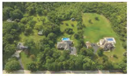 |
| R-2 | The R-2 single family residential district provides regulations for development similar in character to the R-1 district, but with slightly smaller lots and residences. Development within this district is consistent with the low density designation in the village's comprehensive plan. | 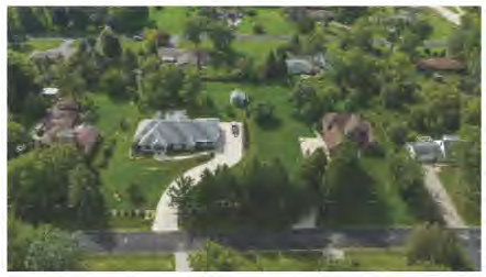 | |
| R-3 | The R-3 single family residential district provides regulations for development similar in character to the R-2 district, but with slightly smaller lots and residences. Development within this district is consistent with the low density designation in the village's comprehensive plan. | 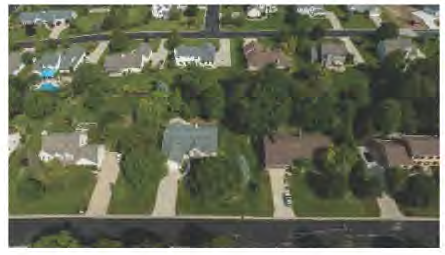 | |
| R-3.5 | The R-3.5 single family residential district provides regulations for development similar in character to the R-3 district, but with a reduced lot width. Development within this district is consistent with the medium density designation in the village's comprehensive plan. | 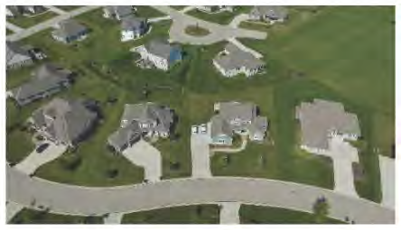 | |
| R-4 | The R-4 single family residential district provides regulations for development similar in character to the R-3 district, but with slightly smaller lots and residences. Development within this district is consistent with the medium density designation in the village's comprehensive plan. | 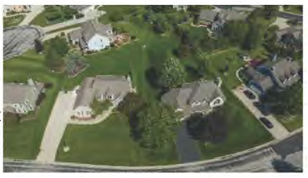 | |
| R-5 | The R-5 single family residential district provides regulations for development similar in character to the R-4 district, but with slightly smaller lots and residences. Development within this district is consistent with the medium density designation in the village's comprehensive plan. | 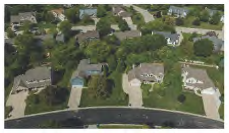 | |
| Mixed use residential. The mixed use residential districts are intended to regulate a combination of housing types ranging from single family, duplexes, apartments and condominiums. | R-6 | The R-6 single family and two-family residential district provides regulations for a mix of single family and two-family residences. Development within this district is consistent with the high density designation within the village's comprehensive plan. | 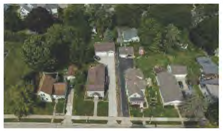 |
| PRD | The planned residential development district (PRD) provides regulations allowing greater development flexibility and design freedom, both in residential building types and in the mixing of residential building types. Development within this district could be consistent with any of the Residential classifications in the village's comprehensive plan. | 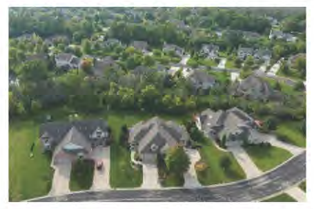 | |
| RM-1 | The RM-1 multifamily residential district provides regulations for multifamily residences with two or more dwellings per building. Development within this district is consistent with the high density designation in the village's comprehensive plan. | 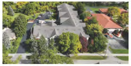 | |
| RM-2 | The RM-2 multifamily residential district provides regulations for development similar in character to the RM-1 district, but with a slightly higher density. Development within this district is consistent with the high density designation in the village's comprehensive plan. | 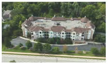 | |
| Civic use. The civic use districts provide two separate functions: 1) To preserve the natural environment for physical, psychological and spiritual benefit; and 2) To provide regulations for institutional uses, such as churches, schools and libraries. | CV-1 | The CV-1 civic park district provides regulations for public and private outdoor recreation with the goal of ensuring parks, trails, and other outdoor recreational spaces fit into the framework of the village. | 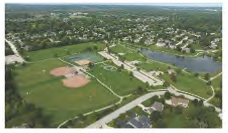 |
| CV-2 | The CV-2 civic institutional district provides regulations to ensure civic and institutional uses are located and serviced in a manner not detrimental to the immediate neighborhood. |  | |
| Mixed use. The mix use districts are intended to regulate a mix of residential, business, civic and light industrial uses that when properly planned create significant community benefits in terms of environmental and aesthetic design. | C-2 | The C-2 community business district provides regulations for a mix of compatible retail, office, service and residential uses consistent with a downtown environment. | 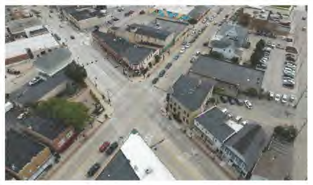 |
| C-3 | The C-3 planned development district is comprised of underdeveloped areas intended for a combination of residential, business, civic and light industrial uses. Development within this district requires a rezoning to the PDO district. | 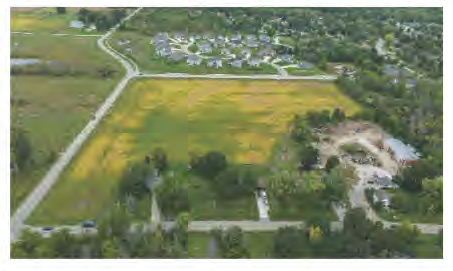 | |
| Business. The business districts are intended to regulate office, retail, and service uses at appropriate locations consistent with the village's comprehensive plan. | C-1 | The C-1 neighborhood business district provides regulations for the needed commercial services consisting primarily of retail stores, shops, offices and service establishments catering to the daily needs of the surrounding local community. |  |
| C-4 | The C-4 suburban retail business district provides regulations for the controlled development, at appropriate locations, of business activity in large single and multi-tenant buildings catering to the region. | 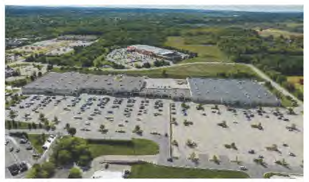 | |
| C-6 | The C-6 office district provides regulations for individual or groups of buildings limited to office, professional and special service uses where an office use will be compatible with adjacent uses. | 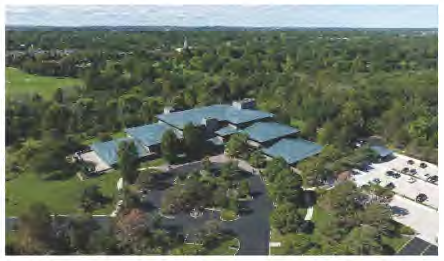 | |
| Industrial. The industrial districts are intended to regulate manufacturing and industrial operations which, on the basis of actual characteristics, would not be detrimental to the surrounding area. | I-1 | The I-1 light industrial district provides regulations for modern industrial activity occurring within a building. Outside operations are prohibited in this district. | 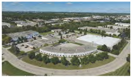 |
| I-2 | The I-2 heavy industrial district provides regulations for industrial activities requiring outside operations, that because of their locations, would not be detrimental to the surrounding area. | 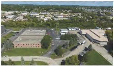 | |
| I-3 | The I-3 executive office/light industrial district provides regulations for light industrial uses, research and development activities, and assembly of high tech projects that are compatible with first-class corporate and divisional headquarters. | 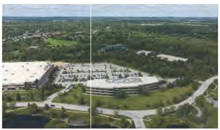 | |
| Agricultural and conservation. The agricultural and conservation districts are intended to regulate farming activities where they currently exist, and single family residential uses on large isolated sites. The agricultural districts are considered "holding areas" where development other than that regulated by this division is not permitted until such time as public sewer and water facilities are available to serve the area. | A-1 | The A-1 agricultural district provides regulations allowing the continuance of farming activities, and at the same time acts as a "holding area" where development, consistent with the comprehensive plan, may occur when public sewer and water facilities are available to serve the area. | 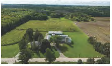 |
| A-2 | The A-2 agricultural/urban fringe district provides regulations for smaller hobby farms and/or large isolated estates, which on the basis of actual physical and operational characteristics would not be detrimental to the surrounding area. | 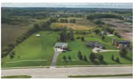 | |
| CDD | The conservation development district (CDD) provides regulations designed to preserve natural resource areas and other larger areas of open land, while permitting residential development at low densities, in an open space setting, located and designed to reduce the perceived intensity of development. |  | |
| Floodland. The floodland districts are intended to regulate development in and around floodplains, wetlands, and environmentally sensitive areas. | FW | The FW floodway district provides regulations for floodplains shown on the DNR and FEMA-approved maps in order to protect life, health and property, and minimize expenditures of public funds for flood control projects. |  |
| FF | The FF floodfringe district provides regulations for floodfringe areas shown on the DNR and FEMA-approved maps in order to protect life, health and property, and minimize expenditures of public funds for flood control projects. |  | |
| SW | The SW shoreland-wetland district provides regulations to maintain the stormwater and floodwater storage capacity of wetlands, prevent and control water pollution, protect aquatic life and wildlife habitat, and preserve shore cover and natural beauty. |  | |
| CW-1 | The CW-1 conservancy-wetland district provides regulations for lands which in the general public interests are better devoted to an undeveloped natural state by reason of soil conditions, location or topography. |  | |
Sec. 122-220. - Mapped districts.
(a)
The areas and boundaries of the districts in figure 122-202.1, are established as shown on the map entitled "Zoning—Village of Menomonee Falls, Waukesha County, Wisconsin" and referred to as the "zoning map" as amended. The zoning map is part of these regulations and included in this section.
(1)
In addition, the areas listed in subsection 122-904(b)(1) are made a part of this chapter by reference.
(2)
All notations and references shown on the maps are as much a part of this chapter as though specifically described in this section. This chapter hereby incorporates any future changes or any later zoning maps that may be adopted by ordinance of the village board. A certified copy of these ordinances shall bear upon their face the authentication of the village president, and the village clerk and shall be maintained by the village clerk. Copies of the zoning map may be published and shall be available to the public in the village hall.
(b)
Changes to the general zoning districts, subsequent to the adoption of this chapter, shall not be effective until the associated ordinance is signed by the village president and village clerk.
(c)
The district boundaries in all districts, except the OC-5 commercial service overlay district, FW floodway district, FF floodfringe district, SW shoreland-wetland district, and the CW-1 conservancy-wetlands district, shall be construed to follow: corporate limits; U.S. public land survey lines; lot or property lines; centerlines of streets, highways, alleys, easements and railroad rights-of-way or such lines extended.
(d)
Additional CW-1 conservancy-wetlands district boundaries are based upon topography established by aerial survey maps and change in flora as exhibited on aerial photographic mosaics and the boundaries of soil types, as exhibited in the SEWRPC Operational Soil Survey and are intended to represent the edge of swamps, marshes, and other lands not adequately drained or otherwise unsuited for development by reason of adverse soil conditions or extreme topography or which should be conserved in order to preserve valuable wetland resources, and shall be finally determined by the actual field conditions in each specific situation; provided, however, that along a stream or flowing watercourse such line shall not be less than 25 feet from the ordinary highwater mark of such stream or watercourse.
(e)
The SW shoreland-wetland district boundaries are based upon the following maps:
(1)
Wisconsin wetland inventory maps stamped "FINAL" on January 30, 1987.
(2)
Floodplain zoning maps titled, "Supplementary Floodplain Zoning Map" and dated February 15, 1982.
(3)
United States Geological Survey maps (most recent revision).
(4)
Zoning maps titled, "Zoning Map—Village of Menomonee Falls" dated February 15, 1982.
(5)
Wetland maps titled, "Supplementary Wetland Map" dated December 7, 1987.
(f)
Discrepancies between the official zoning maps and the actual field delineated shoreland-wetlands shall be handled per subsection 122-51(j).
(g)
Vacation of public streets and alleys shall cause the vacated land to be automatically placed in the same district as the abutting side to which the vacated land reverts.
(h)
Annexations to or considerations with the village subsequent to February 5, 1973, shall be placed in the A-1 agricultural district, unless the annexation ordinance temporarily places the land in another district. Within one year, the village plan commission shall evaluate and recommend a permanent classification to the village board. Annexations containing floodlands and shorelands shall be governed in the following manner:
(1)
Annexations containing floodlands shall be governed by the provisions of the county shoreland zoning ordinance until such time that the state department of natural resources (DNR) certifies that amendments to this chapter meet the requirements of Wis. Admin. Code ch. NR 116.
(2)
Annexations containing shorelands. Pursuant to Wis. Stats. § 59.692(7), any annexation of land after May 7, 1982, which lies within shorelands shall be governed by the provisions of the county shoreland zoning ordinance until such time that the village adopts a chapter which is at least as restrictive as the county shoreland zoning ordinance. Such regulations shall be administered and enforced by the village zoning administrator.
Sec. 122-221. - Special overlays.
Special overlays may be defined on the zoning map. Refer to article III, overlay districts, of this chapter for requirements that are additional or may supersede the underlying district requirements.
Sec. 122-222. - Primary street designations.
Primary street frontages are defined as state or county highways, and other major arterials within the village. Primary street frontages receive priority over other streets in terms of locating principal building entrances, determining vehicular access, and incorporating design requirements associated with a high level of pedestrian orientation. When in question, primary streets and front lot line designation shall be consistent with adjacent parcels as determined by the zoning administrator.