
Cincinnati City Zoning Code
CHAPTER 1415
RIVERFRONT DISTRICTS
§ 1415-01.- Purposes.
The general purposes of the riverfront districts are to:
(a)
Promote residential and river-related recreational, commercial and manufacturing activities along the Ohio and Little Miami Rivers.
(b)
Maintain scenic river views from major public thoroughfares.
(c)
Preserve significant natural features of the floodplain environment.
(d)
Protect the special designation of the Little Miami River as a recreational river by the United States Congress and as a scenic river, as established by the Ohio General Assembly.
(e)
Conform to the requirements imposed by Chapter 1109, Floodplain Management, of the Cincinnati Building Code.
(Ordained by Ord. No. 15-2004, eff. Feb. 13, 2004)
§ 1415-03. - Specific Purposes of the Riverfront Subdistricts.
The specific purposes of the riverfront subdistricts are:
(a)
RF-R Riverfront Residential/Recreational District. To optimize the scenic beauty of the riverfront while mixing residential uses into current public and semi-public land uses and to enhance the stability and revitalization of adjoining neighborhoods.
(b)
RF-C Riverfront Commercial District. To provide sites for commercial and manufacturing uses that require river access and to provide a buffer between the high intensity RF-M riverfront industrial and the more mixed-use RF-R areas, while providing needed services for both areas and protecting adjoining residential neighborhoods, public parks and recreation facilities from the effects of more intense commercial and industrial uses.
(c)
RF-M Riverfront Manufacturing District. To provide sites for heavy industrial uses that require river access, maintain the economic vitality of the industrial riverfront and minimize any adverse impacts resulting from such activity on residential, park, recreation and commercial recreation facilities.
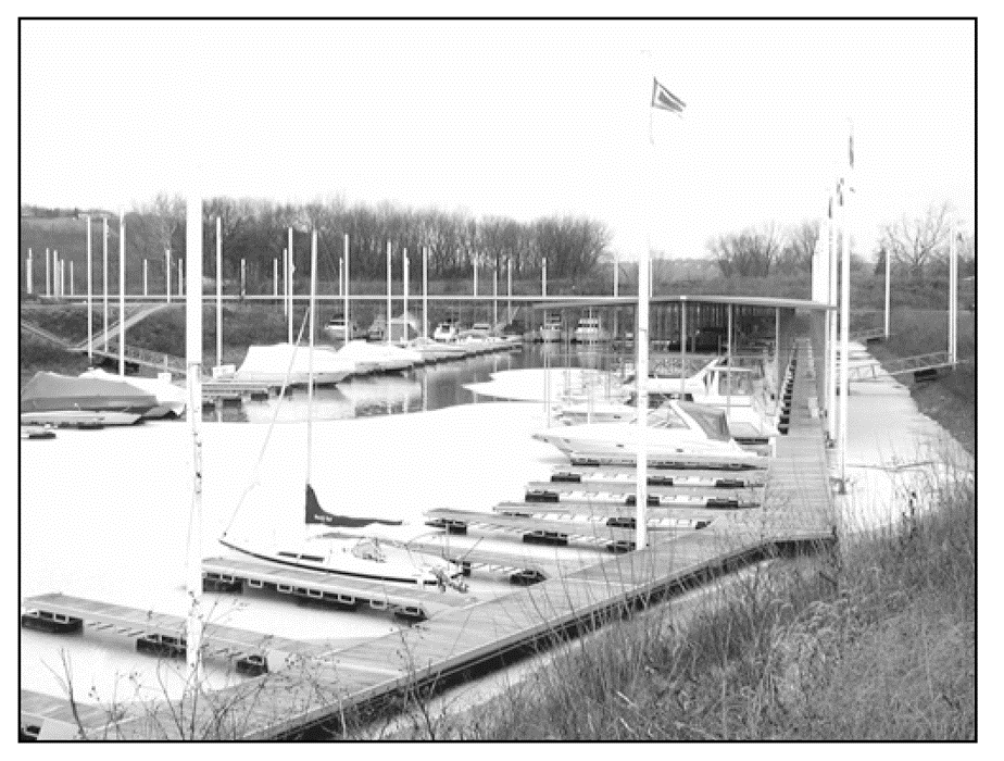
Figure 1415-03-A
(Ordained by Ord. No. 15-2004, eff. Feb. 13, 2004)
§ 1415-04. - Connected Communities.
Three Connected Communities designations are established to enhance the base zoning district. The underlying zoning district and map overlays apply where not inconsistent with the development regulations below.
(a)
Neighborhood Business District 'B'. This district designation is intended for areas located within established neighborhood business districts. The neighborhood business district 'B' designation is subject to the following development regulations:
(1)
Two-family, three-family, and four-family uses are permitted, subject to the development regulations of the underlying zoning district, except as otherwise provided in subsections (a)(2) and (a)(3).
(2)
Minimum lot-area-per-dwelling-unit regulations do not apply.
(3)
Parking:
(i)
No off-street parking is required for residential uses in a new building containing ten or fewer dwelling units.
(ii)
Residential uses in a new building with more than ten dwelling units require one-half space per additional dwelling unit over ten dwelling units.
(iii)
No off-street parking is required in a new commercial or mixed-use building if the building has 5,000 square feet or less of commercial space.
(iv)
The underlying zoning district parking requirements are reduced by one-half for commercial uses in a new commercial or mixed-use building if the building has more than 5,000 square feet of commercial space.
(v)
Additions to existing buildings are considered new construction for purposes of this section.
(vi)
Accessory surface parking facilities shall be located in the rear yard.
(b)
Middle Housing 'MH'. This district designation is intended for areas surrounding neighborhood business districts. The middle housing 'MH' designation is subject to the following development regulations:
(1)
Two-family, three-family, and four-family uses are permitted subject to the development regulations of the underlying zoning district, except as otherwise provided in subsection (b)(2).
(2)
Parking:
(i)
No off-street parking is required for residential uses in a new building containing ten or fewer dwelling units.
(ii)
Residential uses in a new building with more than ten dwelling units require one-half space per additional dwelling unit over ten dwelling units.
(iii)
No off-street parking is required in a new commercial or mixed-use building if the building has 5,000 square feet or less of commercial space.
(iv)
The underlying zoning district parking requirements are reduced by one-half for commercial uses in a new commercial or mixed-use building if the building has more than 5,000 square feet of commercial space.
(v)
Additions to existing buildings are considered new construction for purposes of this section.
(vi)
Accessory surface parking facilities shall be located in the rear yard.
(c)
Transportation Corridor 'T'. This district designation is intended for areas located along major transportation corridors. The transit corridor 'T' designation is subject to the following development regulations:
(1)
Two-family, three-family, and four-family uses are permitted subject to the development regulations in Section 1415-09, except as otherwise provided in subsections (c)(2)-(5).
(2)
Minimum lot-area-per-dwelling-unit regulations do not apply.
(3)
Minimum off-street parking regulations do not apply.
(4)
The height of new structures may exceed the maximum height of the underlying zoning district by an additional twelve feet.
(5)
Accessory surface parking facilities shall be located in the rear yard.
(d)
Design Standards. Two-family, three-family, and four-family dwellings located within a designated Connected Communities district shall comply with the design standards set forth below.
(1)
Entrance. At least one dwelling unit entrance shall be located on each street frontage.
(2)
Building Form. Building composition shall consist of a base, middle, and top component to reduce the apparent bulk of the building. The designs of new buildings shall avoid long unrelieved expanses of wall along the street frontage by maintaining a rhythm of windows and structural bays.
(i)
Buildings shall have a distinct base at the ground level, using articulation and materials such as stone, masonry, or decorative concrete.
(ii)
Buildings shall have a change in material and/or design that marks the transition from base component to middle component, and from middle component to top component.
(iii)
The top of the building shall be treated with a distinct outline with elements such as a projecting parapet, cornice, or projection.
(3)
If the Zoning Administrator determines a permit application does not conform to the requirements of Section 1415-04(d), the Zoning Board of Appeals has the duty to determine whether the application satisfies the standards set forth in this Chapter prior to the issuance of a building permit.
(Ordained by Emer. Ord. No. 199-2024, § 1, eff. 7-1-2024)
§ 1415-05. - Land Use Regulations.
Schedule 1415-05 below prescribes the land use regulations for RF Riverfront Districts. Use classifications are defined in Chapter 1401, Definitions. Use classifications not listed in Schedule 1415-05 are prohibited.
The regulations for each district are established by letter designations as follows:
(a)
"P" designates permitted uses. These uses may be subject to additional regulations as indicated.
(b)
"L" designates uses that are permitted, subject to certain limitations. Numeric suffixes refer to limitations listed at the bottom of Schedule 1415-05. Except as otherwise indicated, modifications of a numerical, locational or dimensional limitation requires a variance under Chapter 1445 - Variances, Special Exceptions and Conditional Uses.
(c)
"C" designates uses permitted only after review and approval of the conditional use by the Zoning Hearing Examiner. These uses may be subject to additional regulations as indicated.
Schedule 1415-05: Use Regulations - Riverfront Districts
Specific Limitations
L1
Outdoor eating and drinking areas require a conditional use approval. Presentation of entertainment is not permitted in such areas.
L2
Drive-through facilities are prohibited.
L3
Permitted in marinas and boatyards otherwise a conditional use approval is required.
L4
Use requires direct access to barge facilities
L5
Antenna height may not exceed 20 feet; greater height requires a conditional use approval. The antenna may be attached to an agricultural, multi-family, public or semi-public, public utility, commercial or industrial building or structure.
L6
All storage to be in completely enclosed facilities.
L7
Outdoor storage of chemicals, minerals and aggregate requires a conditional use approval.
L8
Fencing must be provided for purposes of securing outdoor play areas which must be located in the rear yard only.
L9
Not allowed within 250 feet of a residential use in a Residential District.
L10
Accessory uses determined by the Zoning Administrator to be customarily incidental to a use of the district are permitted. All others require conditional use approval.
L11
Accessory to a marina.
L12
Accessory to a public or semi-public use, provided the drive box is at least 100 feet from any property used for residential purposes and is outside the 100-year floodplain.
L13
Accessory to a permitted or conditional use but may not exceed 20,000 square feet of gross floor area.
L14
Retail sales or repair of products incidental to the industrial uses of the district but may not exceed 5,000 square feet of gross floor area.
L15
Provisions of § 1421-35 apply when refuse storage area is within 100 feet of any property used for residential purposes.
L16
Permitted only when subordinate and incidental to a single-family dwelling that is the principal use of the lot.
(Ordained by Ord. No. 15-2004, eff. Feb. 13, 2004; a. Ord. No. 0346-2007, § 8, eff. Oct. 13, 2007; a. Ord. No. 153-2008, § 1, eff. June 7, 2008; a. Ord. No. 414-2008, § 16, eff. Jan. 4, 2009; a. Ord. No. 308-2009, § 1, eff. Dec. 12, 2009; a. Ord. No. 038-2010, § 1, eff. March 18, 2010; Emer. Ord. No. 141-2015, § 15, eff. July 1, 2015; a. Ord. No. 127-2018, § 12, eff. July 6, 2018; a. Ord. No. 251-2019, § 20, eff. July 26, 2019; a. Ord. No. 266-2023, §§ 12, 15, eff. Oct. 2, 2023)
§ 1415-07. - Little Miami Riverfront Area Use Regulations.
In the RF-R District, only public uses are permitted within the river bank area located between a line 200 feet inland from and congruent with the 465 foot mean sea level datum contour line along the Little Miami River. Public uses may include utilities and parks and recreation uses, such as camping, nature interpretation, bicycle or bridle trails, public canoe access and similar recreational activities. Any Permitted (P), Limited (L), or Conditional (C) use in Schedule 1415-05 above is permitted within the river bank area located between 200 feet and 500 feet inland from and congruent with the 465 foot mean sea level datum contour line along the Little Miami River. See § 1415-21 Little Miami Riverfront Area Use Review.
(Ordained by Ord. No. 15-2004, eff. Feb. 13, 2004)
§ 1415-09. - Development Regulations.
Schedule 1415-09 below prescribes the property development regulations for RF Riverfront Districts, including minimum lot area, maximum height, setback, parking and driveways and other standards. Additional standards are included in Chapter 1419, Additional Development Regulations.
Schedule 1415-09: Development Regulations - Riverfront Districts
(Ordained by Ord. No. 15-2004, eff. Feb. 13, 2004; a. Ord. No. 153-2008, § 2, eff. June 7, 2008; a. Ord. No. 391-2008, eff. Dec. 19, 2008)
§ 1415-11. - Maximum Height.
In the RF-R District, maximum height is measured above base flood elevation. In the RF-C District, maximum height may not exceed 100 feet above the elevation of the Ohio River at the Markland Dam pool stage if within 500 feet of a SF, RM, or RF-R District except silos. The total width of all silos that exceeds that elevation may not exceed ten percent of the width of the property. Provided, however, the Zoning Administrator may approve silos having a total width of thirty percent of the width of the property if the silos do not materially impair significant views of the Ohio River from any U.S. or state highway or other public vantage. The width of silos is measured at the point of maximum width of the part of the silo that extends more than 100 feet above the elevation of the Ohio River at Markland Dam pool stage at the site. Conveyors, elevators, ladders and similar fixtures serving a silo are not included in the measurement of the width of a silo. The width of the property is the maximum width of the property measured along a straight line parallel to a line joining the mid points of the Ohio River at each end of the property.
(Ordained by Ord. No. 15-2004, eff. Feb. 13, 2004; a. Ord. No. 042-2012, § 9, eff. March 29, 2012; Emer. Ord. No. 141-2015, § 16, eff. July 1, 2015)
§ 1415-13. - Maximum Building Coverage.
In the RF-C and RF-M Districts, maximum building coverage may be increased ten percent if a buffer yard pursuant to § 1423-13 Buffer Yards, is provided or if an acceptable perpetual easement granting access to the riverfront, public park or recreation facility is provided.
(Ordained by Ord. No. 15-2004, eff. Feb. 13, 2004)
§ 1415-15. - Truck Docks, Loading and Service Areas.
Where a building is adjacent to a residential district, the location of these facilities must be the side away from the district boundary. Where truck docks, loading and service areas are adjacent to a residential district boundary, a 100 foot setback is required from the district boundary line. In RF-R Districts, these facilities must be located at the side of buildings or in the rear of the site and screened so as not to be visible from public streets and are not permitted to be used between 10 PM and 7 AM on weekdays and 11 PM and 7 AM on weekends. Off-street staging is required for all trucks and other vehicles that service or supply terminals or other areas.
(Ordained by Ord. No. 15-2004, eff. Feb. 13, 2004)
§ 1415-17. - Buffer Yards.
All uses of the RF districts are subject to the Buffer Yard requirements of Schedule 1423-13-A except for the Residential Uses of Schedule 1415-05.
(Ordained by Ord. No. 15-2004, eff. Feb. 13, 2004)
§ 1415-19. - Ohio River Bank Area.
Existing tree cover and vegetation must be preserved between the pool stage of the Ohio River and a line 50 feet inland from and congruent with the Markland Dam pool stage, except where new construction, floodproofing or docking facilities are necessary to achieve compliance with Chapter 1109, Flood Plain Management, of the Cincinnati Building Code, a U.S. Army Corps of Engineers permit, or where modified by the Zoning Administrator pursuant to Chapter 1423, Landscaping and Buffer Yards.
(Ordained by Ord. No. 15-2004, eff. Feb. 13, 2004; Emer. Ord. No. 141-2015, § 17, eff. July 1, 2015)
§ 1415-21. - Little Miami Riverfront Area Use Review.
Within 500 feet of the Little Miami River, a use may be established only if the Zoning Administrator finds in consultation with the Director of Parks and the Director of Recreation that the use:
(a)
Maintains the natural and free-flowing conditions of the Little Miami River, except where channel modifications are required to mitigate a severe hazard to life or property;
(b)
Does not aggravate erosion of the river bank;
(c)
Has no adverse effect on existing wildlife habitation;
(d)
Conserves significant natural vegetation and tree cover except for damaged or diseased trees in access ways;
(e)
Protects or enhances the scenic, recreational, geologic, cultural or historic values of the river that led to its designation as a recreational and scenic river; and
(f)
Does not substantially interfere with the recreational use and enjoyment of the Little Miami River by the public.
(Ordained by Ord. No. 15-2004, eff. Feb. 13, 2004; Emer. Ord. No. 141-2015, § 18, eff. July 1, 2015)