
Hartford City Zoning Code
2.0
DISTRICTS
2.1.1 - PURPOSE & APPLICABILITY
A.
Purpose. The city is divided (zoned) into districts as established in this section for the following purposes.
(1)
Promoting the health, safety, morals and general welfare of the community;
(2)
Protecting the natural environment, including reducing air and water pollution and responding to the threat of climate change;
(3)
Providing a framework for greater use of public transit and for the development of transit-oriented neighborhoods where appropriate;
(4)
Providing adequate light and air;
(5)
Facilitating adequate provision for transportation, water, sewerage, schools, parks and other public requirements;
(6)
Conserving the value of buildings and encouraging the most appropriate use of land throughout the city;
(7)
Providing for the public health, comfort and general welfare in living and working conditions;
(8)
Regulating and restricting the location of trades and industries and the location of buildings designed for specified uses;
(9)
Safeguarding the historic character of some neighborhoods through careful attention to form and bulk;
(10)
Regulating and limiting the height and bulk of buildings erected;
(11)
And regulating and determining the area of yards, courtyards, and other open spaces for buildings erected.
B.
Applicability.
(1)
No building, structure or land shall be used and no building or structure shall be erected or altered, except in conformity with the regulations prescribed in these regulations for the district in which such building, structure or land is located.
(2)
The provisions of these regulations shall apply to any use or development of land or buildings that is commenced, recommenced, constructed, reconstructed, rebuilt, relocated, enlarged or expanded after the effective date of these regulations.
2.1.2 - ESTABLISHMENT OF DISTRICTS
2.1.3 - NUMBER OF DWELLING UNITS IN N DISTRICTS
The maximum number of dwelling units permitted in each House Type A and B is defined for each N district location with an extension (-1, -2, -3, and -4) to the district name. For example, N-2-3 is an N-2 district that permits up to 3 units per House Type B building. As another example, N-1-4 is an N-1 district that permits 4 or more units per House Type A building. Refer to 3.3.1 A. for an explanation of each extension.
2.2.1 - MAPPED DISTRICTS
The areas and boundaries of the districts in Figure 2.2-A Table of Districts are established as shown on the map entitled "City of Hartford Zoning Map" and referred to as "Zoning Map," as amended and filed in the office of the city clerk. The Zoning Map is part of these regulations and included in this section.
2.2.2 - SPECIAL OVERLAYS
Special overlays may be defined on the Zoning Map. Refer to 5.0 Special Overlays for requirements that are additional or may supercede the underlying district requirements.
2.2.3 - PRIMARY STREET DESIGNATIONS
A.
DT Districts. In the downtown (DT) districts, primary and non-primary streets are designated on the Zoning Map in the downtown. Primary street frontage receives priority over other streets in terms of locating principal building entrances, determining vehicular access, and incorporating design requirements associated with a high level of pedestrian orientation.
B.
All Other Districts. Primary streets in districts outside the downtown are not mapped, but include Main Street, Wethersfield Avenue, Franklin Avenue, Maple Avenue, New Britain Avenue, Park Street, Farmington Avenue, Albany Avenue, and Blue Hills Avenue. Other primary streets and front lot line designations shall be consistent with adjacent parcels and determined by the zoning administrator.
Figure 2.2-A Table of Districts
***Expand table to lock table headings in place while scrolling***
| TABLE OF DISTRICTS | |||
|---|---|---|---|
| DISTRICT TYPE & INTENT | DISTRICT NAME & DESCRIPTION | ||
| Downtown (DT) The DT districts are intended to regulate for the highest intensity of development in the city, while respecting the historic building scale of the downtown and the adjacent blocks. Each district permits a mix of uses and is intended to create an active atmosphere throughout the day and into the evening. Classification of Primary and Secondary Streets (refer to Zoning Map) in these districts defines building orientation and prioritizes a high-quality pedestrian realm. | DT-1 | The highest-intensity DT district allows the tallest buildings and defines the iconic core of the downtown. Primary streets, including Main Street, Trumbull Street, and Columbus Boulevard, are the major pedestrian routes, lined with Storefronts with commercial uses required in the ground story. | 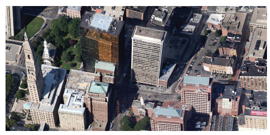 |
| DT-2 | Designated on the edges of downtown, the DT-2 district allows mid-scale high-rise buildings, providing transitional urban neighborhoods and work environments. Primary streets, including Church Street, Jewell Street, Sheldon Street, and Charter Oak Avenue, may include Storefront Buildings, but a variety of uses are permitted. | 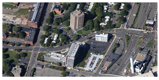 | |
| DT-3 | The DT-3 district is intended to preserve and complement the scale of existing buildings, extending out of downtown along Main Street. Major pedestrian routes are defined along primary streets with required groundfloor storefront retail uses, including Allyn Street, Main Street, Trumbull Street, Pratt Street, and Lewis Street. | 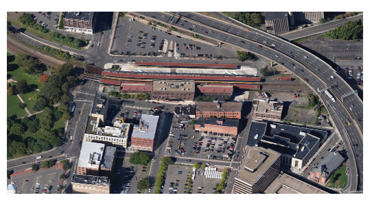 | |
| Main Street (MS) The MS districts continue the pattern of traditional mixed-use main street development with ground floor storefronts in neighborhood centers, at interior neighborhood nodes and along major corridors. | MS-1 | Located along historic main streets and at neighborhood nodes, the MS-1 district is characterized by low-scale Storefront Buildings and houses converted to commercial uses, all fronting pedestrian-friendly sidewalks. Ground floor storefronts contain a mix of retail and service uses, while upper stories may include office and residential uses. | 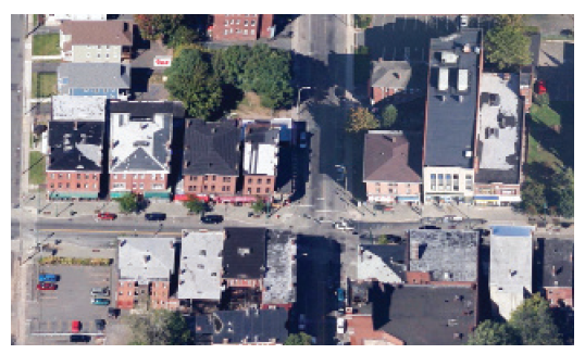 |
| MS-2 | While similar in many ways to the MS-1 district, the MS-2 district includes a wider mix of building types and ground story uses. In addition to Storefront Buildings, Cottage Commercial, General, and Apartment Building Types are also permitted, introducing a mix of retail, service, residential, and office uses at the ground floor. | 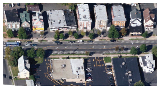 | |
| MS-3 | The MS-3 district is similar to the MS-2 district in its mix of building types and uses, but also introduces a limited number of vehicle-oriented buildings and uses, including the Commercial Center Building Type. It is intended for commercial corridors that balance the needs of pedestrians and vehicles by limiting driveways and orienting building entrances to the sidewalk. | 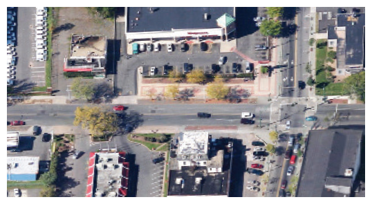 | |
| Commercial-Industrial Mix (CX) The CX districts are situated along commercial corridors that are transitioning from a historically industrial past. Flexible regulations encourage the re-use of traditional warehouse and factory buildings. | CX-1 | The CX-1 district is intended to allow an innovative mix of office, residential, and low intensity industrial uses, along with supporting retail and service uses. The form of the area includes large-scale traditional warehouse and factory buildings (General Building Type), and the smaller-scale Workshop/Warehouse Buildings. | 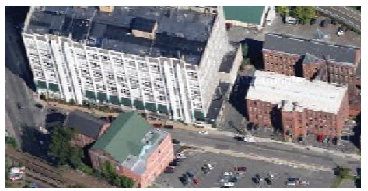 |
| CX-2 | The CX-2 district is intended to allow a highly flexible mix of larger scale, more intensive uses without proximity to residential uses. A wide range of permitted building forms and permitted outdoor storage accommodates such uses as outdoor sales lots, commercial equipment and supply uses, and bars and nightclubs. | 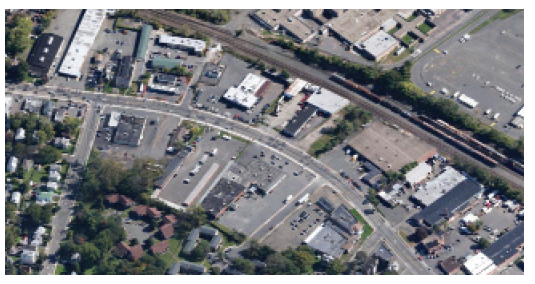 | |
| Industrial (ID) The ID districts provide areas within the city for more intensive manufacturing, warehousing, and distribution in larger-scale Workshop/Warehouse Buildings. | ID-1 | The purpose of the ID-1 industrial district in the city is to provide for medium to heavy industry characterized by a minimum of noise, odor, glare, and pollution, and by moderate traffic upon the public streets. It is the purpose of this district to encourage the continuance and expansion of industry of this kind and its creation, and to develop a more compatible relationship between such industry and surrounding residential areas. | 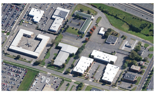 |
| ID-2 | The purpose of the ID-2 district in the city is to provide for the location of the heavier types of industry common to the city. The heavy industrial district is intended as an area for the location of waste processing facilities, motor vehicle wrecking yards and similar uses. | 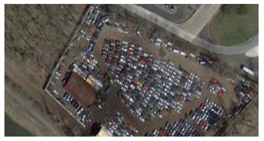 | |
| Multi-Use Mix (MX) The MX districts are either centered around large-scale institutional facilities including the State Capitol area, universities, hospitals, and in other areas where low-scale mixed-use development is appropriate. These districts include a mix of compatible office or residential uses in the General Building Type and residential building types. | MX-1 | The MX-1 district is a lower intensity district intended to be compatible with adjacent historic neighborhoods. This district includes office, institutional, and/or residential uses in a mix of lower scaled General, Apartment, Row, House A, and House B Building Types. | 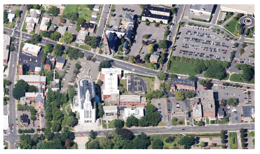 |
| MX-2 | The MX-2 district is similar in permitted building forms and uses as the MX-1 district, but is intended for larger, more intensive buildings. This district is often paired with the Campus Overlay to accommodate larger scale users with multiple buildings in one setting. | 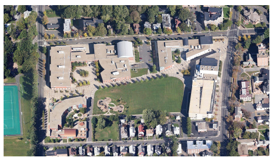 | |
| Neighborhood Mix (NX) The NX districts include the most intensive mixes of residential building types, all permitting Multi-Unit Dwelling uses and Apartment Building Types in a low-scale neighborhood setting. | NX-1 | The NX-1 district is intended for neighborhood areas that currently include a mix of Apartment Buildings and House Type B with multiple units in each building. Row Buildings are permitted, though few exist in these areas. | 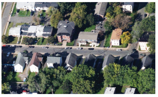 |
| NX-2 | The NX-2 district is intended for neighborhood areas with a wide mix of building forms, including Apartment Buildings, Stacked Flats, and multi-unit House Type B Buildings. This is the most common NX district. | 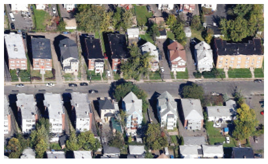 | |
| NX-3 | The NX-3 district is the most intensive neighborhood mix district, including a mix of Apartment Buildings, Stacked Flats, and Row Buildings. Few House Building Types currently exist in these districts. | 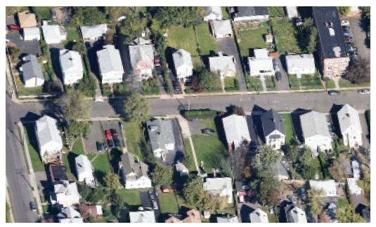 | |
| Neighborhood (N) The N districts are intended to serve neighborhoods throughout the city that mainly include residential building types. N districts are limited to residential uses with the exception of institutional and community uses as noted in 3.0 Uses and certain accessory uses. Note: Each of the N district locations includes an extension on the district name indicating the number of dwelling units in that location. Refer to 2.1.3 Number of Dwelling Units in N Districts. | N-#-1 | The N-#-1 district is reserved for locations with House Type A only. Typically, these are one-unit dwelling locations with only a single unit per building (N-1-1). | 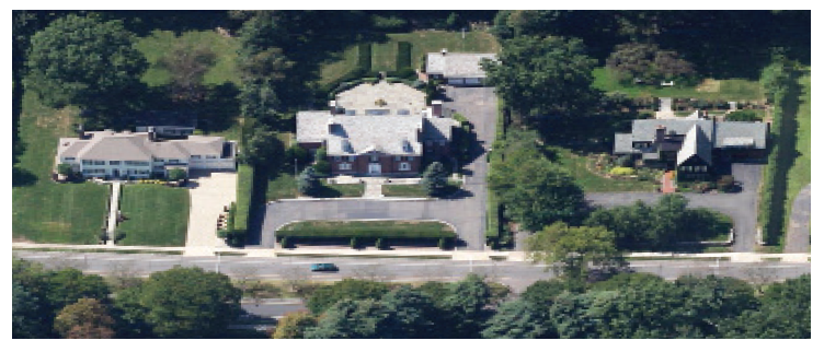 |
| N-#-2 | The N-#-2 district is intended for neighborhoods that consist of House Type B Buildings only. Versions of the N-#-2 district allow only 1 unit, up to 2 units, or up to 3 units, defined as N-2-1, N-2-2, and N-2-3, respectively. | 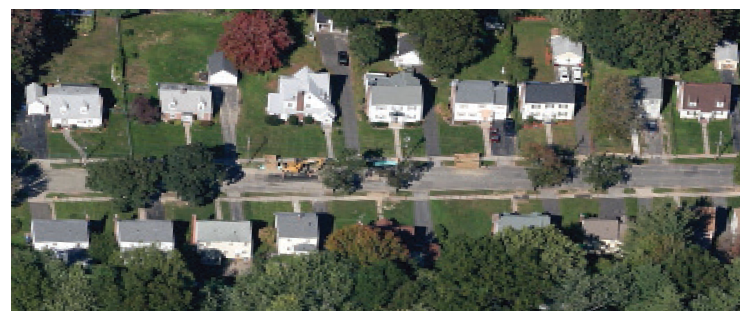 | |
| N-#-3 | The N-#-3 district is intended to allow a mix of 2 to 2.5 story House Type B and lower scaled 1 to 2 story House Type C buildings. These areas are further defined as permitting one-unit dwelling (N-3-1), up to 2 units (N-3-2), and up to 3 units (N-3-3). | 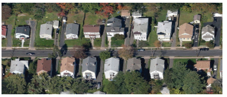 | |
| N-#-4 | The N-#-4 district is intended for locations of the lower-scaled 1 to 2 story House Type C buildings. These locations are primarily one-unit dwelling (N-4-1), but some locations permit 2 units per building (N-4-2). | 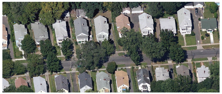 | |
| N-#-5 | The N-#-5 district is provided for locations with Stacked Flats, Row Buildings, and House Type B buildings, all typically housing multiple units. The N-5-1 district permits only one-unit dwellings in the Row and Type B Buildings and the N-5-3 district permits up to 3-unit dwellings. | 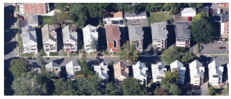 | |
| Open Space (OS) The OS district provides a range of open spaces within the city. | OS | The OS district allows for the development of active and passive open spaces, typically with a limited amount of parking, lighting, and vehicular traffic. | 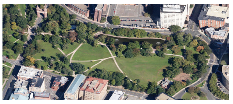 |
(Amend. of 12-13-2022)