
Walker City Zoning Code
ARTICLE IV
- ESTABLISHMENT OF ZONING DISTRICTS
Sec. 94-4.01. - Districts established.
The city is hereby divided into zones or districts as shown on the official zoning map which, together with all explanatory matter thereon, is hereby adopted by reference and declared to be a part of this chapter.
Editor's note— The zoning map is not included in this Code, but is on file in the office of the city clerk.
(Ord. No. 24-674, § 2(Exh. A), 1-22-24)
Sec. 94-4.02. - Identification of map and changes thereon.
The official zoning map shall be identified by the signature of the mayor, attested by the city clerk, and bearing the seal of the municipality under the following words: "This is to certify that this is the Official Zoning Map referred to in Chapter 2 [article IV of this chapter] of the Zoning Ordinance of the City of Walker, Ordinance No. 71-150, adopted July 1, 1971." The official zoning map shall be located in the office of the city clerk.
(Ord. No. 24-674, § 2(Exh. A), 1-22-24)
Sec. 94-4.03. - Prior zoning maps.
Unless prior official zoning maps under previous ordinances have been lost or totally destroyed, the prior maps or any significant parts thereof remaining, although superseded by this chapter and the official zoning map adopted hereby, shall be preserved, together with all available records pertaining to their adoption or amendment.
(Ord. No. 24-674, § 2(Exh. A), 1-22-24)
Sec. 94-4.04. - Rules for interpretation of district boundaries.
Where uncertainty exists as to the boundaries as shown on the official zoning map, the following rules shall apply:
(a)
Boundaries indicated as approximately following the centerlines of streets, highways or alleys shall be construed to follow such centerlines.
(b)
Boundaries indicated as approximately following platted lot lines shall be construed as following such lot lines.
(c)
Boundaries indicated as approximately following municipal boundaries shall be construed as following such municipal boundaries.
(d)
Boundaries indicated as following railroad lines shall be construed to be the center of the railroad right-of-way.
(e)
Boundaries indicated as following shorelines shall be construed to follow such shorelines, and in the event of change in the shoreline shall be construed as moving with the actual shoreline; boundaries indicated as approximately following the centerline of streams, rivers, canals, lakes or other bodies of water shall be construed to follow such centerlines.
(f)
Boundaries indicated as parallel to or extensions of features indicated in subsections (a) through (e) shall be so construed. Distances not specifically indicated on the official zoning map shall be determined by the scale of the map.
(g)
Where physical or cultural features existing on the ground are at variance with those shown on the official zoning map, or in other circumstances not covered by subsections (a) through (f), the board of zoning appeals shall interpret the district boundaries.
(h)
Where a district boundary line divides a lot which was in single ownership at the time of passage of this chapter, the planning commission may permit, as a special use, the extension of the regulations for either portion of the lot not to exceed 50 feet beyond the district line into the remaining portion of the lot.
(Ord. No. 24-674, § 2(Exh. A), 1-22-24)
Sec. 94-4.05. - Intent and purpose of residential and agricultural districts.
(a)
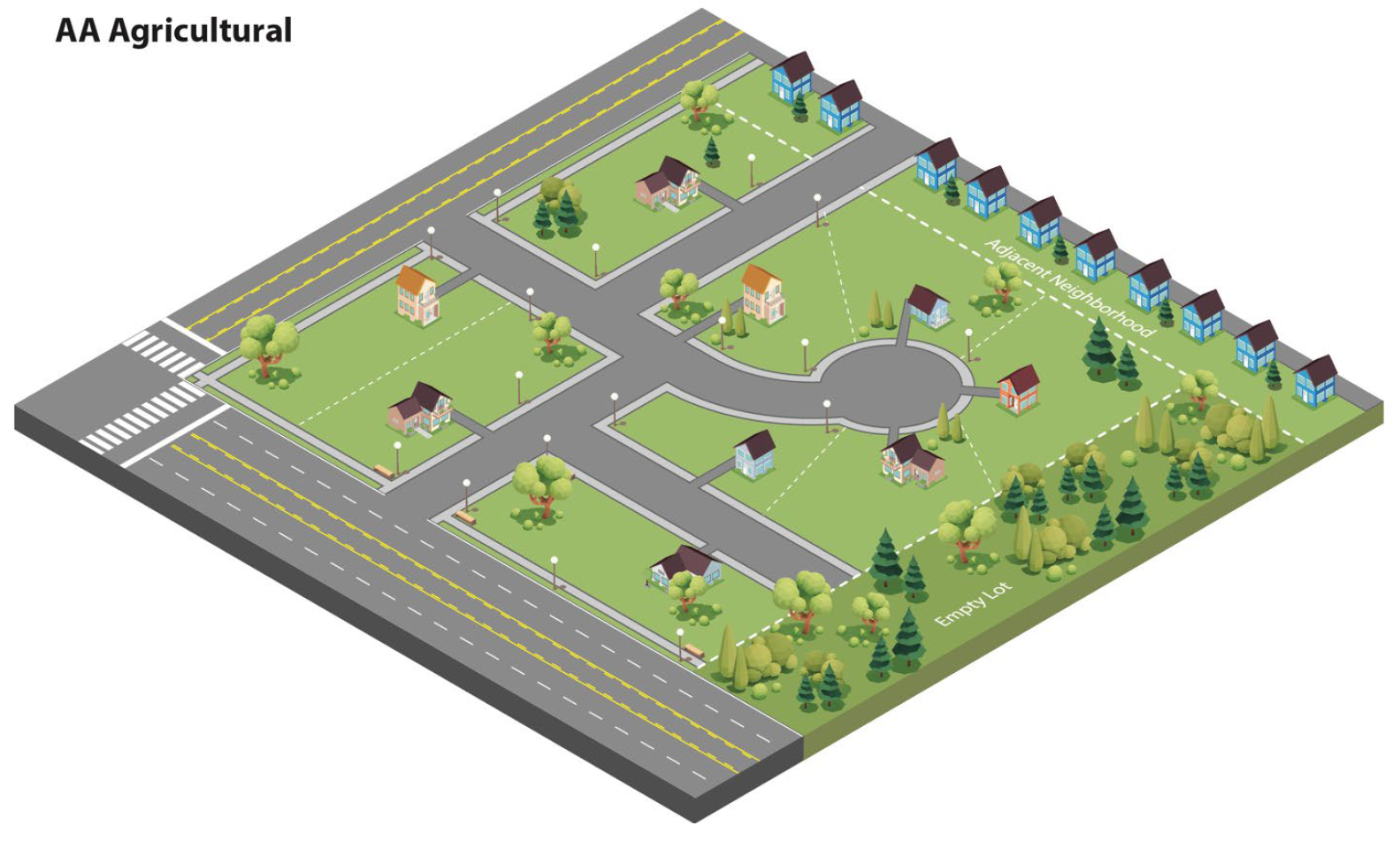
"AA" district, agricultural. Agricultural districts are those open areas of the city where farming, dairying, forestry operations and other rural activities are found. Vacant, fallow land and wooded areas may also be included where such areas are interspersed among farms. Gradually and under a comprehensive plan for urban development, agricultural districts may be converted to other land uses.
(b)
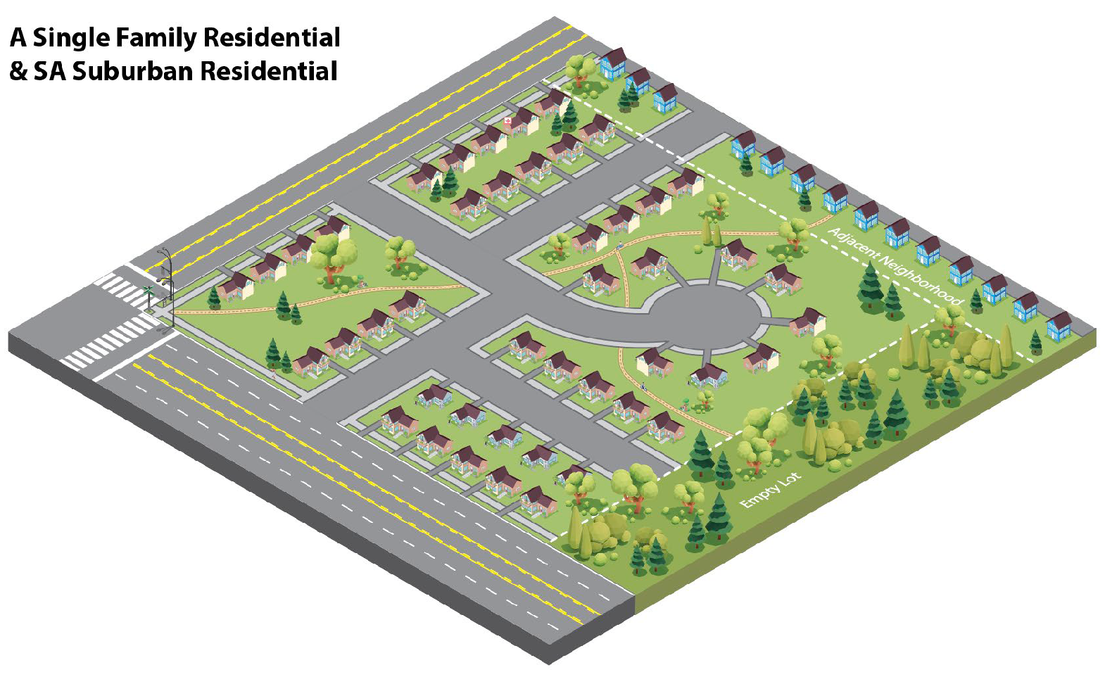
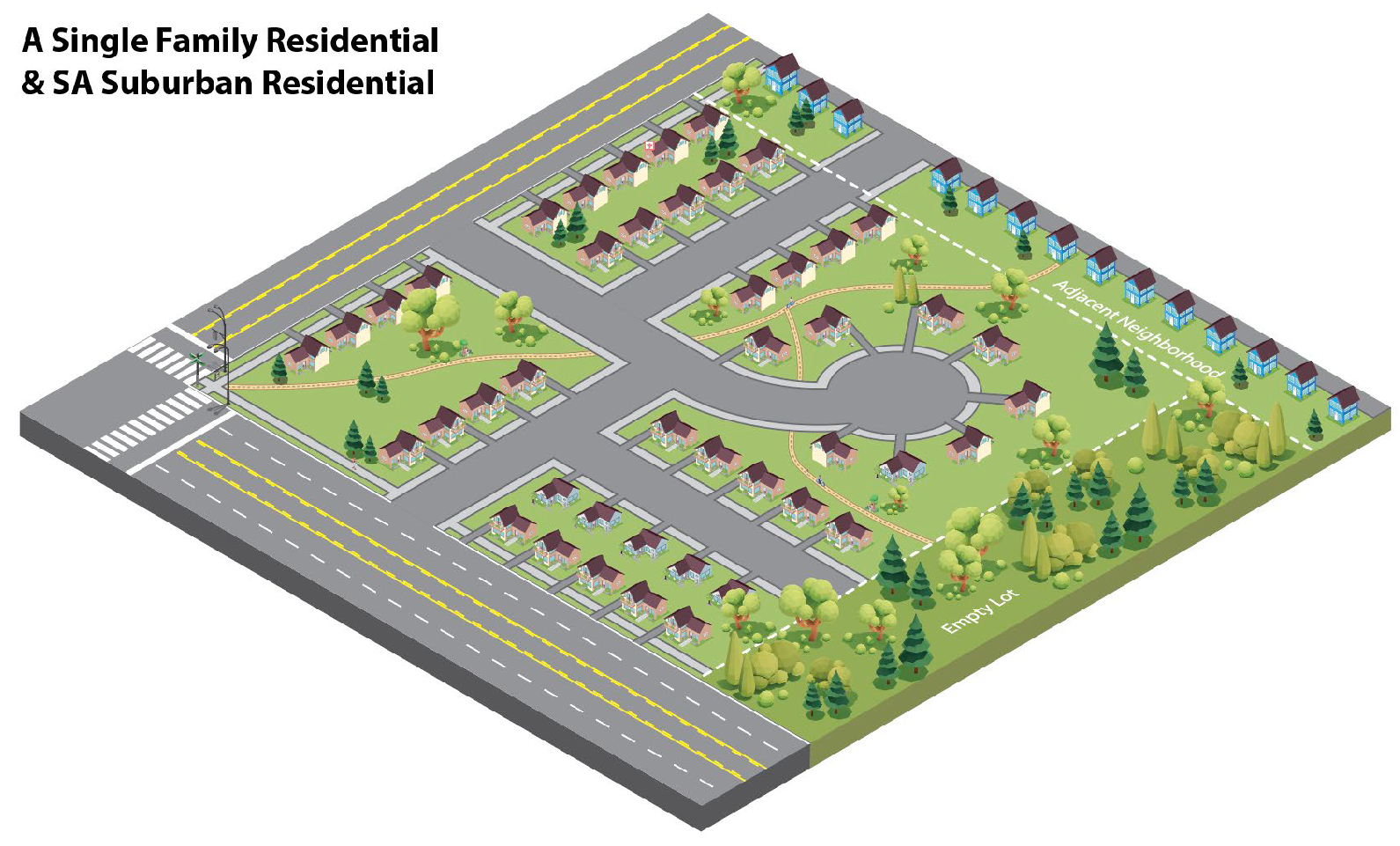
"A" district, single-family residential: Intent. The regulations of the "A" district, single-family residential, are intended to encourage a suitable environment for families, typically with children. To this end, uses are basically limited to single-family dwellings and permitted accessory buildings together with certain other uses such as schools, parks and playgrounds which provide a neighborhood environment. In keeping with this intent, development is regulated to a moderate density.
(c)
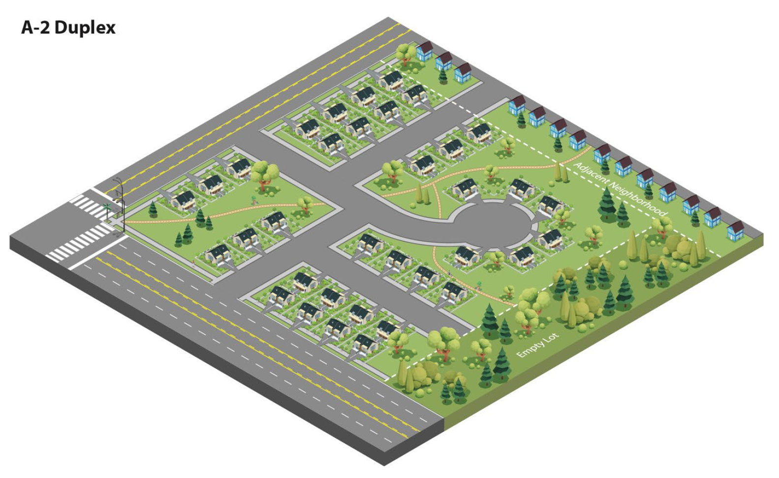
"A-2" duplex district, two-family residential. The regulations of the A-2 duplex district, two-family residential, are intended to encourage a suitable environment for young couples, maturing families and retired individuals. To this end, uses are limited to single- and two-family units and permitted accessory buildings along with certain other neighborhood-type uses such as schools, parks, and playgrounds.
(d)
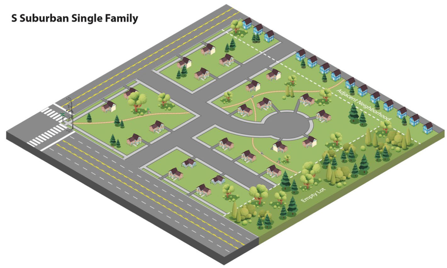
"S" district, suburban residential. The regulations of the "S" district, suburban residential, are intended to encourage development of a suburban area of limited density and large lots in which neither public water nor public sewer is available.
(e)
"SA" district, suburban residential, single-family. The regulations of the "SA" district, suburban residential, single-family, are intended to encourage a suitable environment for families, typically with children, particularly in areas which have public water or sewer, but not both, and in which the percolation characteristics of the soil provide drainage sufficient to protect the public health and safety with only one public utility.
(f)
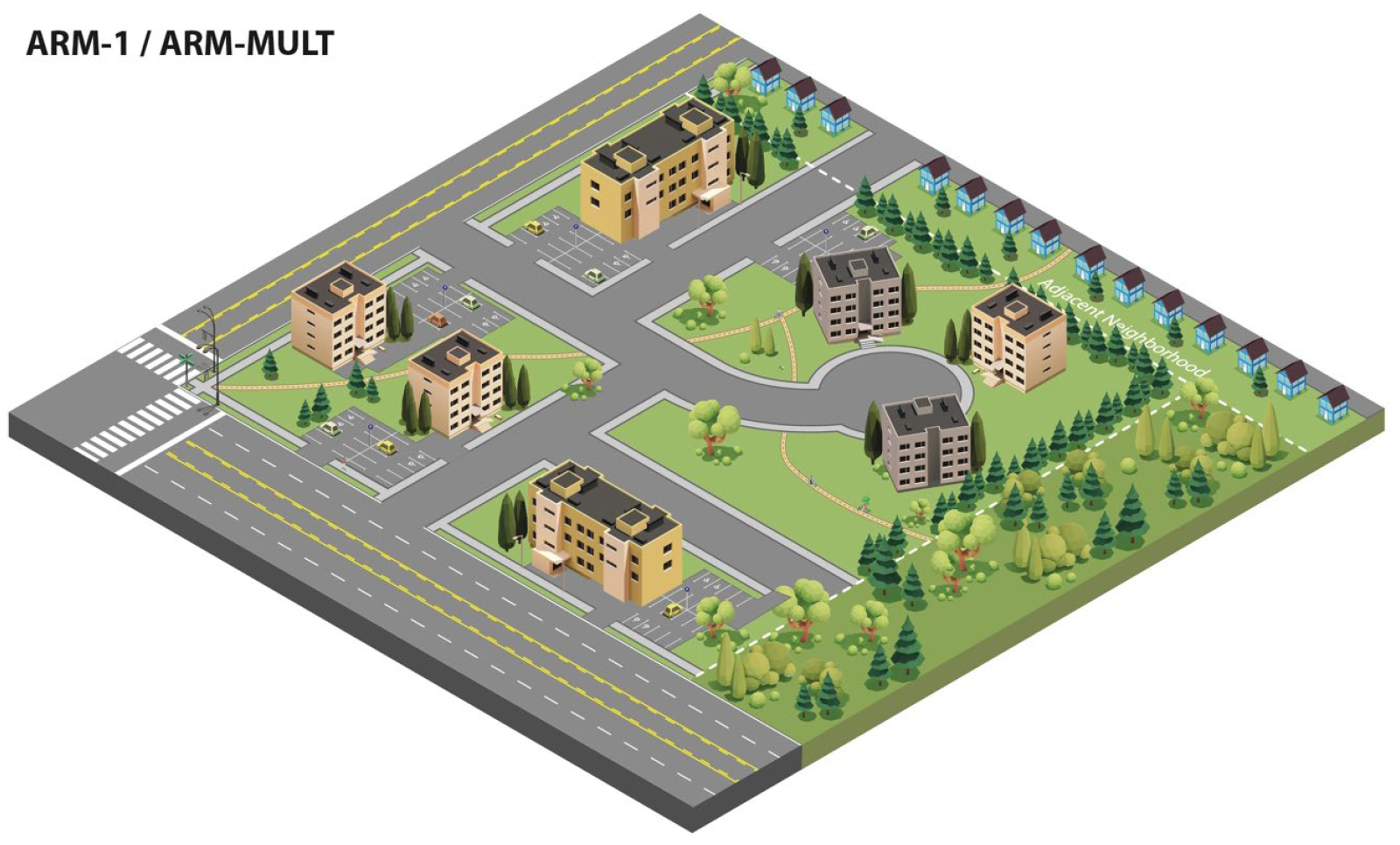
"ARM-1" district one, residential, multiple-family. The regulations of the "ARM-1" residential district one, multiple-family district are intended to encourage and permit low density multiple-family housing in areas deemed suitable therefore. Public water and sewer facilities shall be required.
(g)
"ARM-MULT" district, residential, multiple-family. The regulations of the "ARM-MULT" district, residential, multiple-family, are intended to encourage and permit multiple-family housing in areas deemed suitable therefore. Public water and sewer facilities shall be required.
(h)
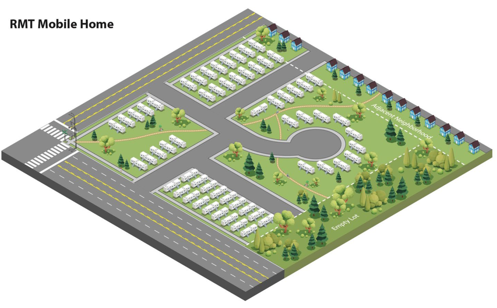
"RMT" district, mobile home or trailer coach parks. The "RMT" district, mobile home or trailer coach parks, is for areas of the city suitable for mobile home or trailer coach parks. Such districts shall provide adequate space and facilities for healthful living conditions for occupants of such mobile home parks. All such districts shall have access to a collector or arterial road for easy accessibility. Public water and sewer facilities shall be provided in accordance with state, county and city health regulations, and any such parks shall be constructed and operated in compliance with all applicable statutes, ordinances and regulations.
(Ord. No. 24-674, § 2(Exh. A), 1-22-24)
Sec. 94-4.06. - Intent and purpose of commercial and mixed use districts.
(a)
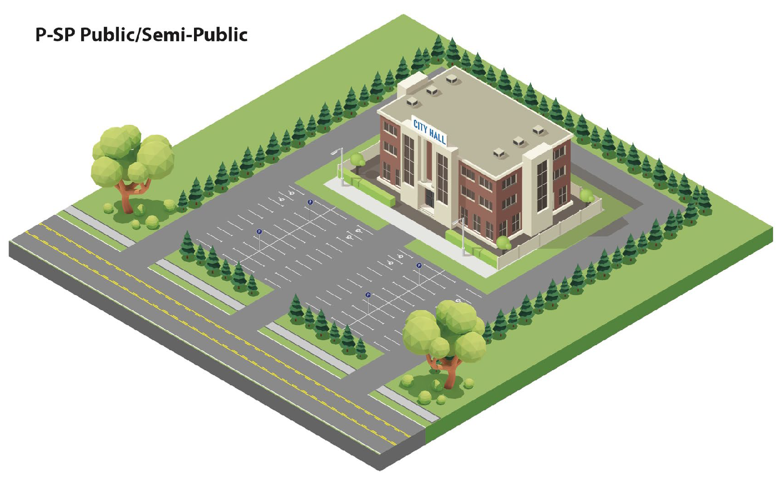
"P-SP" district, public/semipublic. The public/semipublic zoning district is intended to apply to lands designated in the master plan as "park/open" or "public/semipublic." The district is designed to accommodate governmental, public utility, educational, community service and recreational facilities. Such uses are somewhat unique in that their proximity to sensitive land uses is not generally detrimental to quality of life and in many cases is desirable and convenient. The district is intended to provide space and facilities needed to complement residential and business areas.
(b)
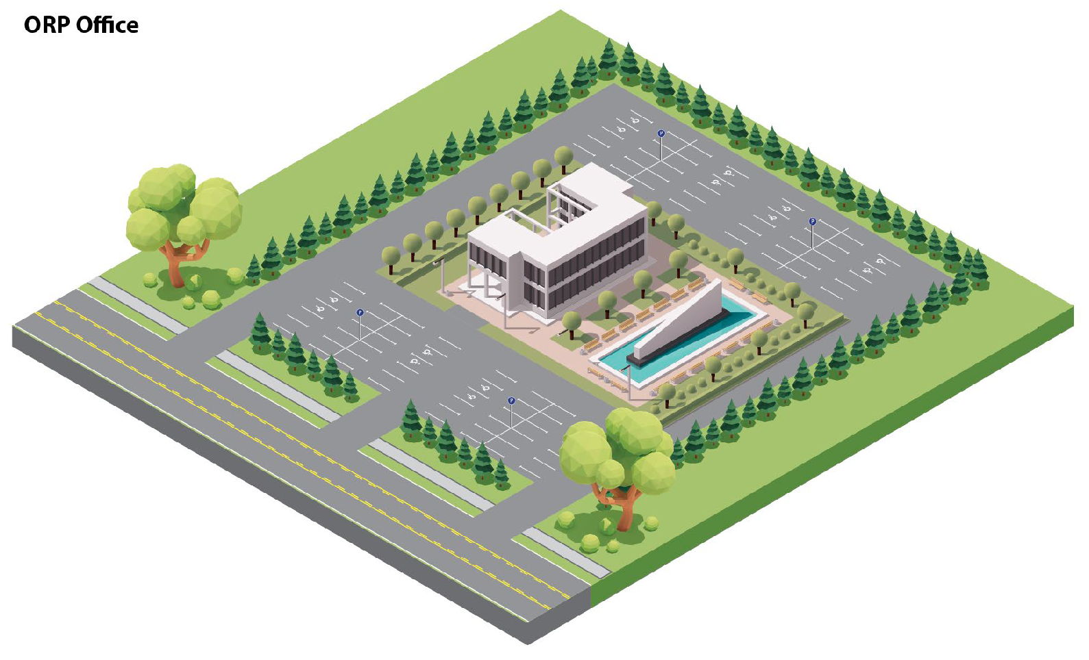
"ORP" district, office, research and parking. The "ORP" district, office, research and parking, is to provide suitable locations for certain uses, primarily of office, laboratory or parking character, which while needing easy access to and from major traffic routes are typically noncommercial and nonindustrial.
(c)
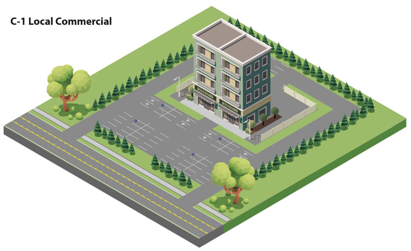
"C-1" district, local commercial." The "C-1" district, local commercial, is to provide neighborhood convenience shopping zones where retail stores may offer commodities and services for the everyday convenience of the neighborhood.
(d)
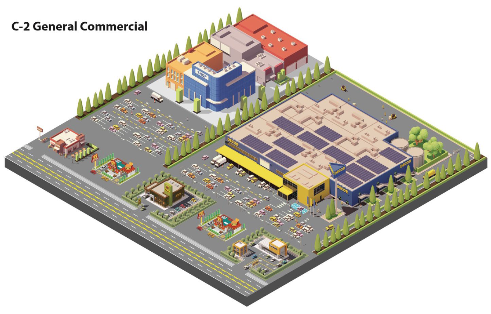
"C-2" district, community commercial. The "C-2" district, community commercial, is to provide for the development of sound and efficient shopping and central business districts, a prime characteristic of which is a core of intense pedestrian activity. Most people entering the district will come by automobile and typically will park once to carry out several errands. The economic welfare of merchandising activities in this district depends on intense development of comparison shopping with each establishment contributing to the whole shopping center by adding to the variety of goods available and to comparison shopping opportunities. Office building activities are compatible with the purposes of this district if adequate and convenient automobile parking can be provided for both the office and the retail merchandising activities.
(Ord. No. 24-674, § 2(Exh. A), 1-22-24)
Sec. 94-4.07. - Intent and purpose of industrial districts.
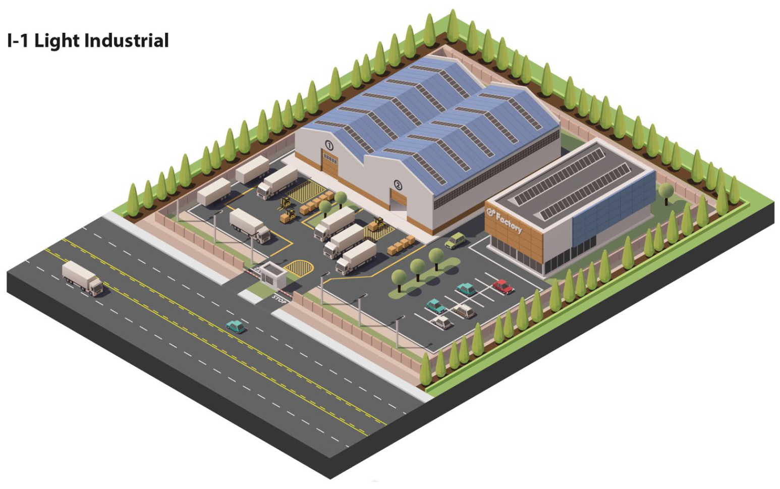
(a)
"I-1" light industrial. The regulations of the I-1 district, light industrial, are intended to provide for various types of light industrial and manufacturing uses, wholesale businesses, warehouses, and other uses compatible with one another and with surrounding land uses, and with an absence of objectionable external effects. Permitted uses are characterized by low maximum usable floor area percentages, substantial setbacks, environmental sensitivity, and creative site design. The regulations are defined to exclude uses which would have a detrimental effect upon the orderly development and functioning of the district, as well as surrounding land uses.
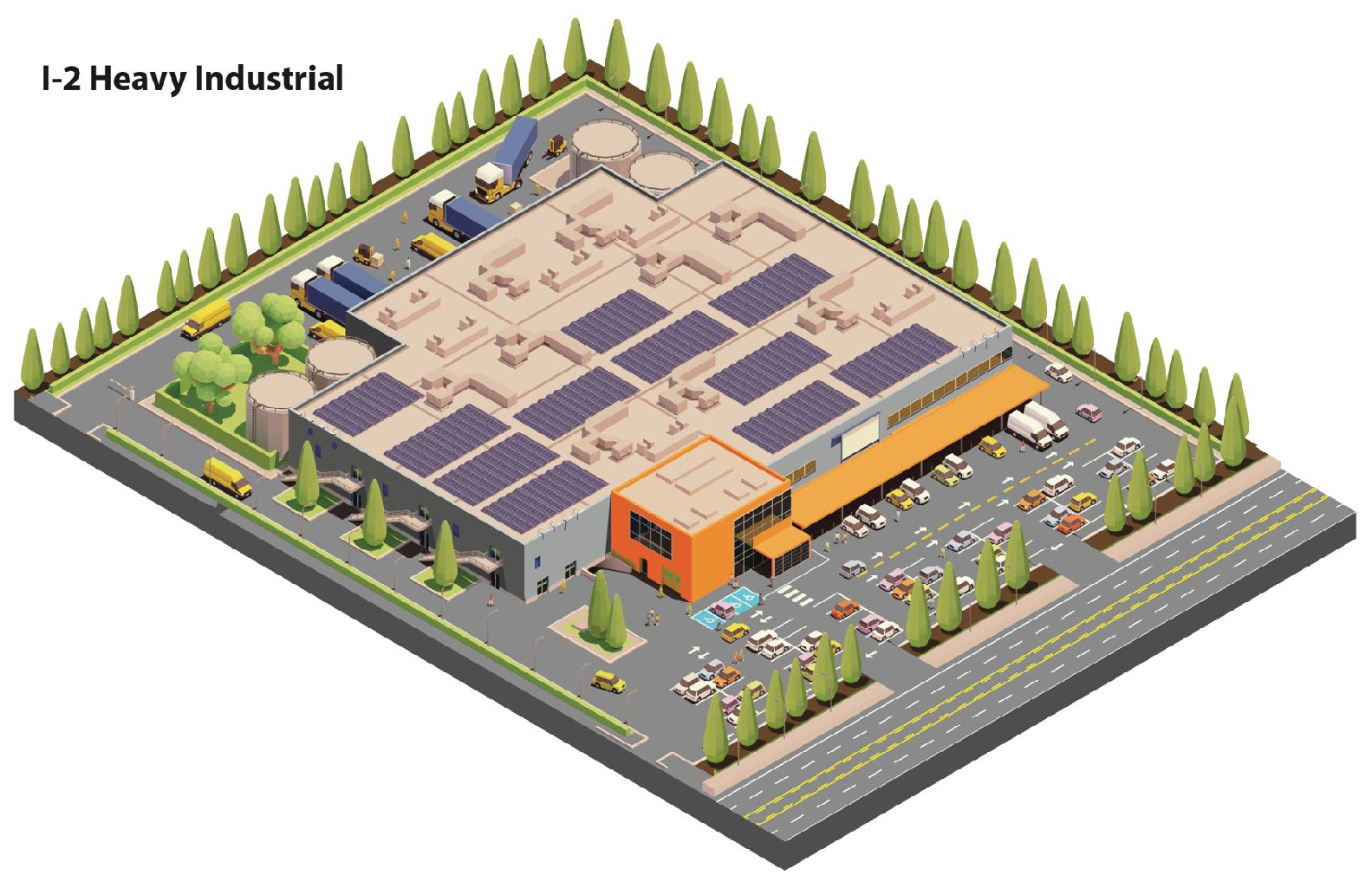
(b)
"I-2" general industrial. The regulations of the I-2 district, heavy industrial, are intended to provide for various types of industrial and manufacturing uses, and other uses compatible with one another and surrounding land uses, with the absence of objectionable external effects. While the uses permitted in the I-2 district are intended for more intensive industrial uses than those permitted in the I-1 district, the regulations are intended to limit uses which would have a detrimental effect upon the orderly development and functioning of the district, as well as surrounding land uses.
(Ord. No. 24-674, § 2(Exh. A), 1-22-24)
Sec. 94-4.08. - Intent and purpose of overlay districts.
(a)
Standale overlay. The Standale overlay is intended to promote the redevelopment of property located within Standale in a manner consistent with the city master plan. The intent of this district is to facilitate the development of an attractive, urban, walkable, mixed-use corridor along Lake Michigan Drive, while also accommodating the needs of through traffic and the operational necessities of business. Forms and patterns of the built environment shall reflect the recommendations outlined in the master plan and meet the requirements of this section.
(b)
Remembrance overlay. The Remembrance overlay is intended to promote the redevelopment of property located near the intersection of Remembrance Road and Leonard Street in a manner consistent with the city master plan. The intent of this district is to facilitate the development of an attractive, urban, walkable, mixed-use node for the surrounding neighborhoods, while promoting connectivity, walkability, and good urban design. Forms and patterns of the built environment shall reflect the recommendations outlined in the master plan and meet the requirements of this section.
(c)
Alpine overlay. The Alpine overlay is intended to promote the redevelopment of property located along Alpine Avenue south of 3 Mile Road in a manner consistent with the city master plan. The intent of this district is to facilitate the development of an attractive, urban, walkable, mixed-use corridor to serve the surrounding neighborhoods and extend the urban fabric into areas that formerly had a more suburban, auto-oriented character. Forms and patterns of the built environment shall reflect the recommendations outlined in the master plan and meet the requirements of this section.
(Ord. No. 24-674, § 2(Exh. A), 1-22-24)